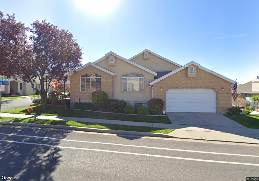
2273 N 470 E Provo, UT 84604
Rock Canyon NeighborhoodEstimated Value: $466,000 - $640,000
3
Beds
3
Baths
2,464
Sq Ft
$220/Sq Ft
Est. Value
About This Home
This home is located at 2273 N 470 E, Provo, UT 84604 and is currently estimated at $541,881, approximately $219 per square foot. 2273 N 470 E is a home located in Utah County with nearby schools including Rock Canyon Elementary School, Centennial Middle School, and Timpview High School.
Ownership History
Date
Name
Owned For
Owner Type
Purchase Details
Closed on
Dec 30, 2019
Sold by
Bond Thelma F and Bond Trust
Bought by
Lambert Lisa
Current Estimated Value
Home Financials for this Owner
Home Financials are based on the most recent Mortgage that was taken out on this home.
Original Mortgage
$270,000
Outstanding Balance
$238,556
Interest Rate
3.6%
Mortgage Type
New Conventional
Estimated Equity
$303,325
Purchase Details
Closed on
Dec 20, 2004
Sold by
Huber Lowell Meeks
Bought by
Bond Earl Jay and Bond Thelma F
Purchase Details
Closed on
Sep 3, 2004
Sold by
Huber James Chris and Huber Lowell Meeks
Bought by
Huber Lowell Meeks
Create a Home Valuation Report for This Property
The Home Valuation Report is an in-depth analysis detailing your home's value as well as a comparison with similar homes in the area
Home Values in the Area
Average Home Value in this Area
Purchase History
| Date | Buyer | Sale Price | Title Company |
|---|---|---|---|
| Lambert Lisa | -- | First American Title Ins Co | |
| Bond Earl Jay | -- | Old Republic Title Company | |
| Huber Lowell Meeks | -- | -- |
Source: Public Records
Mortgage History
| Date | Status | Borrower | Loan Amount |
|---|---|---|---|
| Open | Lambert Lisa | $270,000 |
Source: Public Records
Tax History
| Year | Tax Paid | Tax Assessment Tax Assessment Total Assessment is a certain percentage of the fair market value that is determined by local assessors to be the total taxable value of land and additions on the property. | Land | Improvement |
|---|---|---|---|---|
| 2025 | $2,280 | $242,825 | -- | -- |
| 2024 | $2,280 | $224,455 | $0 | $0 |
| 2023 | $2,241 | $217,470 | $0 | $0 |
| 2022 | $2,418 | $236,555 | $0 | $0 |
| 2021 | $2,033 | $346,900 | $41,600 | $305,300 |
| 2020 | $2,005 | $320,800 | $38,500 | $282,300 |
| 2019 | $1,745 | $290,300 | $39,000 | $251,300 |
| 2018 | $758 | $268,800 | $32,500 | $236,300 |
| 2017 | $684 | $134,255 | $0 | $0 |
| 2016 | $680 | $124,300 | $0 | $0 |
| 2015 | $588 | $112,805 | $0 | $0 |
| 2014 | $557 | $112,805 | $0 | $0 |
Source: Public Records
Map
Nearby Homes
- 240 E 2230 N Unit 7
- 186 E 2100 N
- 182 E 2090 N
- 1960 N Canyon Rd
- 360 Sumac Ln
- 1801 N 650 E
- 2774 N 370 E
- 2735 N Country Club Dr
- 788 E 2680 N
- 223 W 2230 N Unit 14
- 241 W 2230 N Unit 16
- 3025 N 250 E
- 758 E 3030 N
- 264 W 1625 N
- 2939 N Marrcrest Dr W
- 3013 N 100 W
- 2999 N Marrcrest West Dr
- 2025 Oak Ln
- 3057 N 100 W
- 3043 Bannock Dr
Your Personal Tour Guide
Ask me questions while you tour the home.