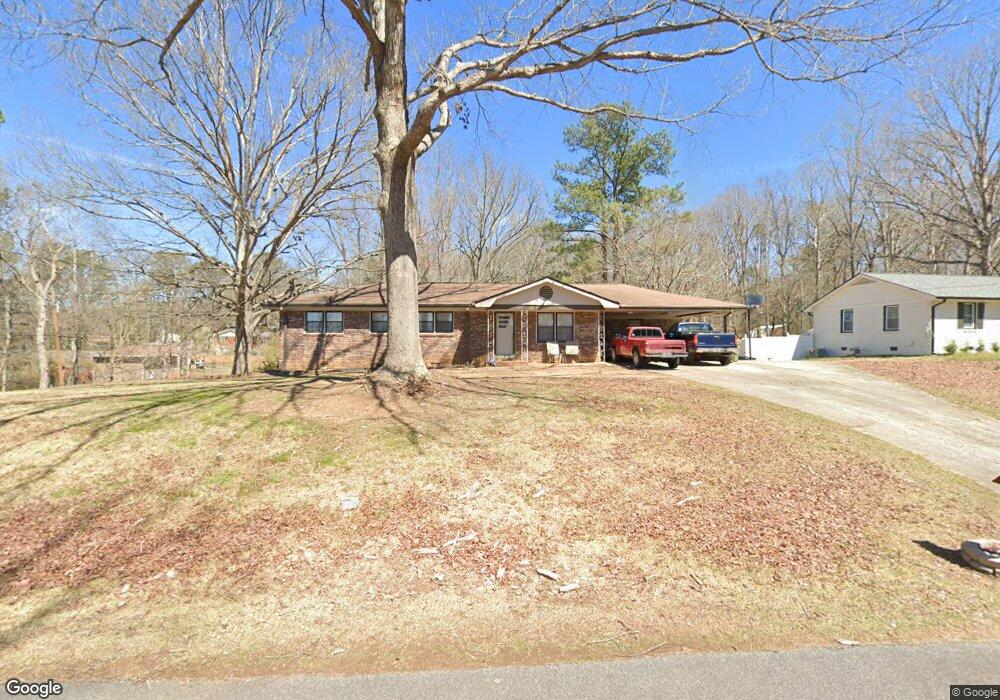
2274 Andy Ln Austell, GA 30106
Estimated Value: $268,000 - $283,174
3
Beds
2
Baths
1,210
Sq Ft
$227/Sq Ft
Est. Value
About This Home
This home is located at 2274 Andy Ln, Austell, GA 30106 and is currently estimated at $274,794, approximately $227 per square foot. 2274 Andy Ln is a home located in Cobb County with nearby schools including Clarkdale Elementary School, Cooper Middle School, and South Cobb High School.
Ownership History
Date
Name
Owned For
Owner Type
Purchase Details
Closed on
Aug 25, 2006
Sold by
Martin John W and Martin Peggy J
Bought by
Smith Allen K
Current Estimated Value
Home Financials for this Owner
Home Financials are based on the most recent Mortgage that was taken out on this home.
Original Mortgage
$107,200
Outstanding Balance
$64,046
Interest Rate
6.67%
Mortgage Type
New Conventional
Estimated Equity
$210,748
Create a Home Valuation Report for This Property
The Home Valuation Report is an in-depth analysis detailing your home's value as well as a comparison with similar homes in the area
Home Values in the Area
Average Home Value in this Area
Purchase History
| Date | Buyer | Sale Price | Title Company |
|---|---|---|---|
| Smith Allen K | $134,000 | -- |
Source: Public Records
Mortgage History
| Date | Status | Borrower | Loan Amount |
|---|---|---|---|
| Open | Smith Allen K | $107,200 |
Source: Public Records
Tax History
| Year | Tax Paid | Tax Assessment Tax Assessment Total Assessment is a certain percentage of the fair market value that is determined by local assessors to be the total taxable value of land and additions on the property. | Land | Improvement |
|---|---|---|---|---|
| 2025 | $2,467 | $108,204 | $30,000 | $78,204 |
| 2024 | $2,145 | $93,272 | $20,000 | $73,272 |
| 2023 | $1,285 | $78,652 | $8,000 | $70,652 |
Source: Public Records
Map
Nearby Homes
- 4747 Nelda Dr
- 2349 Shire Ct
- 2373 Buckley Ct
- 4630 Hemlock Dr
- 4809 Hemlock Dr
- 2125 Clay Rd SW
- 2110 Plum Ln
- 4975 Brawner Lake Dr
- 0 Clay Rd
- 5069 Flint Hill Rd Unit AB
- 4420 Pink Rose Ct
- 6025 Park Wood Ct
- 2232 Warren Dr
- 2034 Drennon Ave
- 2026 Drennon Ave
- 2085 Lenoa Ln
- 2083 Lenoa Ln
- 2081 Lenoa Ln
- 0 Lakeview Ct Unit 10711020
- 5164 Medford Ln
Your Personal Tour Guide
Ask me questions while you tour the home.