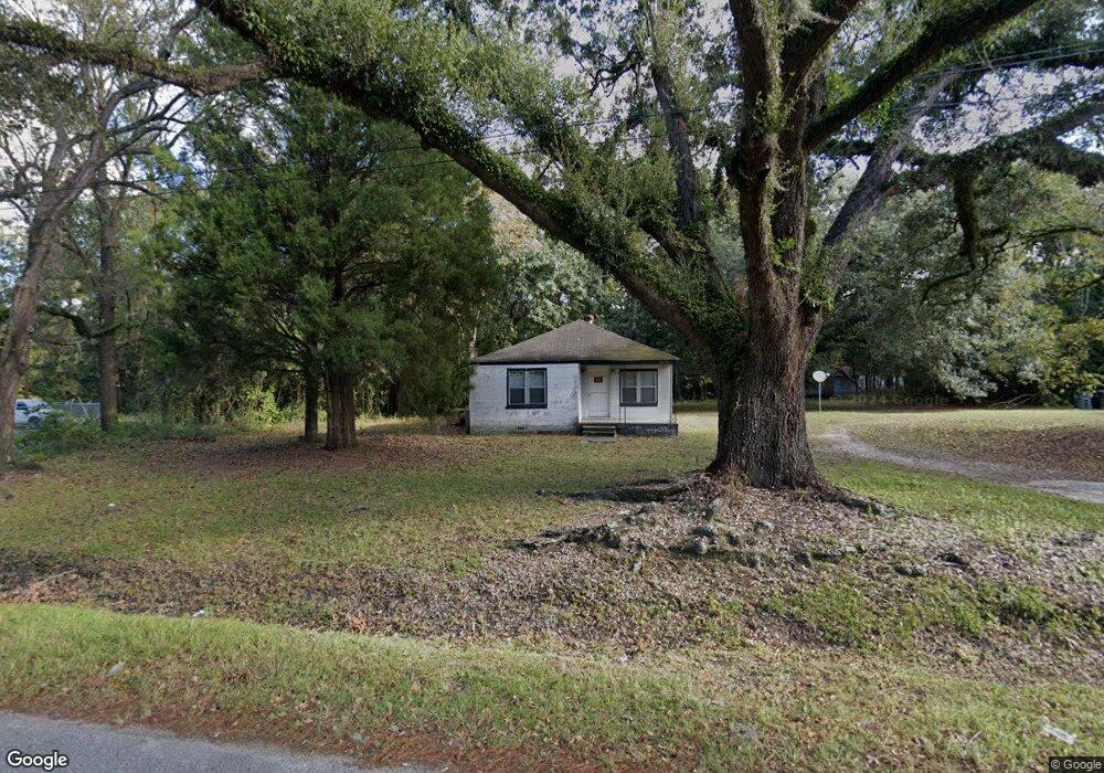
2274 Townsend Rd Charleston, SC 29406
Highland Park NeighborhoodEstimated Value: $123,893 - $232,000
3
Beds
1
Bath
892
Sq Ft
$212/Sq Ft
Est. Value
About This Home
This home is located at 2274 Townsend Rd, Charleston, SC 29406 and is currently estimated at $189,473, approximately $212 per square foot. 2274 Townsend Rd is a home located in Charleston County with nearby schools including Midland Park Primary School, Pinehurst Elementary School, and Morningside Middle.
Ownership History
Date
Name
Owned For
Owner Type
Purchase Details
Closed on
Apr 4, 2024
Sold by
Alston Cedric Dewayne
Bought by
Alston Patricia and Santos Elizabeth Alston
Current Estimated Value
Purchase Details
Closed on
Aug 29, 2023
Sold by
Alston Patricia Ann B
Bought by
Patricia Alston Revocable Trust and Alston
Purchase Details
Closed on
Jul 12, 2021
Sold by
Brown William Eugene
Bought by
Alston Patricia and Santos Elizabeth Alston
Purchase Details
Closed on
Jul 7, 2021
Sold by
Alston Nancy
Bought by
Alston Patricia and Santos Elizabeth Alston
Purchase Details
Closed on
Jun 27, 2003
Sold by
Alston George
Bought by
Alston George and Alston Hezekiah
Create a Home Valuation Report for This Property
The Home Valuation Report is an in-depth analysis detailing your home's value as well as a comparison with similar homes in the area
Home Values in the Area
Average Home Value in this Area
Purchase History
| Date | Buyer | Sale Price | Title Company |
|---|---|---|---|
| Alston Patricia | $1,700 | None Listed On Document | |
| Patricia Alston Revocable Trust | -- | None Listed On Document | |
| Alston Patricia | $5,712 | -- | |
| Alston Patricia | $5,712 | -- | |
| Alston George | -- | -- |
Source: Public Records
Tax History Compared to Growth
Tax History
| Year | Tax Paid | Tax Assessment Tax Assessment Total Assessment is a certain percentage of the fair market value that is determined by local assessors to be the total taxable value of land and additions on the property. | Land | Improvement |
|---|---|---|---|---|
| 2024 | $682 | $1,680 | $0 | $0 |
| 2023 | $682 | $1,680 | $0 | $0 |
| 2022 | $610 | $1,680 | $0 | $0 |
| 2021 | $607 | $1,680 | $0 | $0 |
| 2020 | $603 | $1,680 | $0 | $0 |
| 2019 | $559 | $1,450 | $0 | $0 |
| 2017 | $506 | $1,450 | $0 | $0 |
| 2016 | $495 | $1,450 | $0 | $0 |
| 2015 | $276 | $1,450 | $0 | $0 |
| 2014 | $349 | $0 | $0 | $0 |
| 2011 | -- | $0 | $0 | $0 |
Source: Public Records
Map
Nearby Homes
- 2628 Clara Ln
- 2625 Midland Park Rd
- 2615 Myrtis Ln
- 7042 Midland Dr
- 7021 Midland Dr
- 7038 Kenneth Dr
- 7049 Kenneth Dr
- 7070 N Kenwood Dr
- 2457 Raymond Ave
- 2736 Star Dr
- 2751 Mawood Ave
- 2762 Mawood Ave
- 2455 Raymond Ave
- 6930 Stall Rd
- 2459 Raymond Ave
- 2461 Raymond Ave
- 2580 Fassitt Rd
- 5259 Rivers Ave
- 2416 Falcon Rd
- 2432 Falcon Rd
- 6956 Townsend Rd
- 6950 Townsend Rd
- 6944 Alfonzo Cir
- 2284 Alfonzo Cir
- 2286 Townsend Rd
- 6932 Alfonzo Cir
- 6955 Raymond Ave
- 6954 Raymond Ave
- 6985 Whitcomb Dr
- 6948 Raymond Ave
- 2301 Townsend Rd Unit D
- 6980 Whitcomb Dr
- 6947 Raymond Ave
- 6940 Raymond Ave
- 6981 Whitcomb Dr
- 6977 Whitcomb Dr
- 6934 Raymond Ave
- 2222 Kimbell Rd Unit A
- 6966 Whitcomb Dr
- 2211 Hayne St