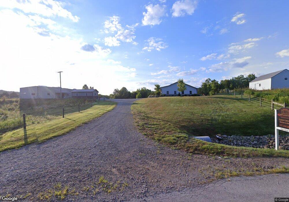
2274 Unity Rd West Union, OH 45693
Estimated Value: $224,000 - $388,000
1
Bed
1
Bath
2,400
Sq Ft
$130/Sq Ft
Est. Value
About This Home
This home is located at 2274 Unity Rd, West Union, OH 45693 and is currently estimated at $310,860, approximately $129 per square foot. 2274 Unity Rd is a home with nearby schools including North Adams Elementary School and North Adams High School.
Ownership History
Date
Name
Owned For
Owner Type
Purchase Details
Closed on
Dec 9, 2025
Sold by
Yutzy Roseanne K and Yutzy Steven A
Bought by
Steven A Stutz Family Trust and Yutzy
Current Estimated Value
Purchase Details
Closed on
Jun 10, 2019
Sold by
Yutzy Aden
Bought by
Yutzy Steven A and Yutzy Roseann K
Home Financials for this Owner
Home Financials are based on the most recent Mortgage that was taken out on this home.
Interest Rate
3.82%
Purchase Details
Closed on
Nov 9, 2010
Sold by
Allender Walter and Allender Estella
Bought by
Yutzy Aden and Yutzy Edna
Purchase Details
Closed on
Sep 3, 1997
Bought by
Allender Walter
Create a Home Valuation Report for This Property
The Home Valuation Report is an in-depth analysis detailing your home's value as well as a comparison with similar homes in the area
Purchase History
| Date | Buyer | Sale Price | Title Company |
|---|---|---|---|
| Steven A Stutz Family Trust | -- | None Listed On Document | |
| Yutzy Steven A | $165,000 | -- | |
| Yutzy Aden | $80,000 | None Available | |
| Allender Walter | $15,000 | -- |
Source: Public Records
Mortgage History
| Date | Status | Borrower | Loan Amount |
|---|---|---|---|
| Previous Owner | Yutzy Steven A | -- |
Source: Public Records
Tax History
| Year | Tax Paid | Tax Assessment Tax Assessment Total Assessment is a certain percentage of the fair market value that is determined by local assessors to be the total taxable value of land and additions on the property. | Land | Improvement |
|---|---|---|---|---|
| 2025 | $2,828 | $82,150 | $11,550 | $70,600 |
| 2024 | $1,414 | $82,150 | $11,550 | $70,600 |
| 2023 | $2,124 | $82,150 | $11,550 | $70,600 |
| 2022 | $2,826 | $76,550 | $8,260 | $68,290 |
| 2021 | $2,819 | $76,550 | $8,260 | $68,290 |
| 2020 | $2,878 | $45,500 | $8,260 | $37,240 |
| 2019 | $1,495 | $45,500 | $8,260 | $37,240 |
| 2018 | $1,404 | $39,310 | $8,260 | $31,050 |
| 2017 | $1,364 | $39,310 | $8,260 | $31,050 |
| 2016 | $1,362 | $39,310 | $8,260 | $31,050 |
| 2015 | $1,521 | $43,370 | $6,480 | $36,890 |
| 2014 | $1,522 | $43,370 | $6,480 | $36,890 |
Source: Public Records
Map
Nearby Homes
- 1148 Robinette Rd
- 831 Tom Brown Rd
- 543 Ginger Ln
- 542 Ginger Ln
- 210 Walt Alsgood Rd
- 4603 Wheat Ridge Rd
- 435 Rollingwoods Dr
- 435 Rolling Woods Dr
- 292 Larry Baynum Rd
- 0 State Route 41 Unit 1830107
- 3287 Chapparal Rd
- 3315 Chapparal Rd
- 19004 State Route 41
- 4400 Chapparal Rd
- 917 Logans Ln
- 0 Paradise Valley Rd Unit 1852764
- 0 Paradise Valley Rd Unit 1873433
- 216 Kurt St
- 215 Chesley St
- Lot 5 Mark Dr
- 2214 Unity Rd
- 1815 Tom Brown Rd
- 2377 Unity Rd
- 2377 Unity Rd
- 2159 Unity Rd
- 232 Grange Hall Rd
- 198 Grange Hall Rd
- 1740 Tom Brown Rd
- 2112 Unity Rd
- 2106 Unity Rd
- 2541 Unity Rd
- 2490 Unity Rd
- 1060 Robinette Rd
- 1520 Thomas Brown Rd
- 483 Grange Hall Rd
- 1476 Tom Brown Rd
- 2734 Unity Rd
- 1476 Tom Brown Rd
- 1428 Tom Brown Rd
- 58 George C Biely Rd
Your Personal Tour Guide
Ask me questions while you tour the home.