2275 Hubbard Masury Rd Hubbard, OH 44425
Estimated Value: $50,816 - $129,000
2
Beds
1
Bath
620
Sq Ft
$148/Sq Ft
Est. Value
About This Home
This home is located at 2275 Hubbard Masury Rd, Hubbard, OH 44425 and is currently estimated at $91,704, approximately $147 per square foot. 2275 Hubbard Masury Rd is a home located in Trumbull County with nearby schools including Hubbard Elementary School, Hubbard Middle School, and Hubbard High School.
Ownership History
Date
Name
Owned For
Owner Type
Purchase Details
Closed on
Nov 20, 2007
Sold by
Furman Gary J
Bought by
Crump Curtis
Current Estimated Value
Purchase Details
Closed on
Sep 22, 1998
Sold by
Thompson John A and Thompson Deborah
Bought by
Furman Gary J
Home Financials for this Owner
Home Financials are based on the most recent Mortgage that was taken out on this home.
Original Mortgage
$23,000
Interest Rate
6.99%
Purchase Details
Closed on
Jan 1, 1990
Bought by
John A Thompson
Create a Home Valuation Report for This Property
The Home Valuation Report is an in-depth analysis detailing your home's value as well as a comparison with similar homes in the area
Home Values in the Area
Average Home Value in this Area
Purchase History
| Date | Buyer | Sale Price | Title Company |
|---|---|---|---|
| Crump Curtis | $12,400 | Attorney | |
| Furman Gary J | $30,000 | -- | |
| John A Thompson | -- | -- |
Source: Public Records
Mortgage History
| Date | Status | Borrower | Loan Amount |
|---|---|---|---|
| Previous Owner | Furman Gary J | $23,000 |
Source: Public Records
Tax History Compared to Growth
Tax History
| Year | Tax Paid | Tax Assessment Tax Assessment Total Assessment is a certain percentage of the fair market value that is determined by local assessors to be the total taxable value of land and additions on the property. | Land | Improvement |
|---|---|---|---|---|
| 2024 | $638 | $10,990 | $2,240 | $8,750 |
| 2023 | $638 | $10,990 | $2,240 | $8,750 |
| 2022 | $600 | $9,210 | $2,030 | $7,180 |
| 2021 | $603 | $9,210 | $2,030 | $7,180 |
| 2020 | $605 | $9,210 | $2,030 | $7,180 |
| 2019 | $316 | $4,550 | $1,890 | $2,660 |
| 2018 | $306 | $4,550 | $1,890 | $2,660 |
| 2017 | $745 | $11,100 | $1,890 | $9,210 |
| 2016 | $292 | $4,550 | $1,890 | $2,660 |
| 2015 | $293 | $4,550 | $1,890 | $2,660 |
| 2014 | $634 | $10,050 | $1,890 | $8,160 |
| 2013 | $274 | $4,340 | $1,890 | $2,450 |
Source: Public Records
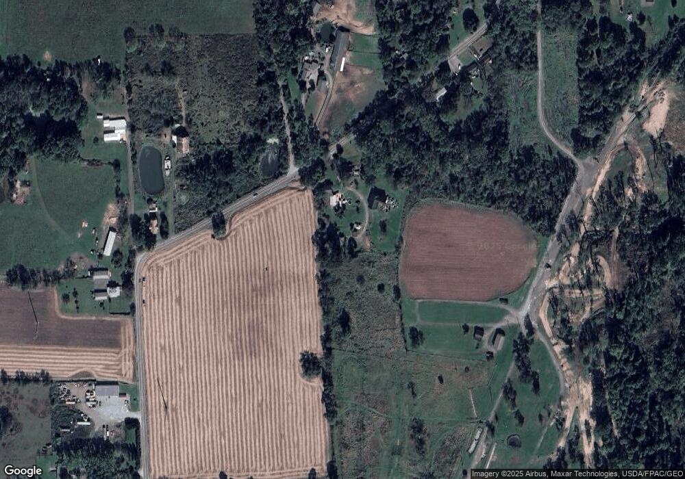
Map
Nearby Homes
- 1911 Hubbard Thomas Rd
- 1952 Hubbard Masury Rd
- 784 Elmwood Dr
- 462 Elizabeth St
- 395 Elizabeth St
- 132 Drummond Ave
- 611 Moore St
- 764 Jones St
- 7111 Pine Grove Dr
- 138 Moore St
- 430 E Park Ave
- 248 Myron St
- 50 Walnut St
- 319 E Liberty St
- 110 School St
- 1354 Stevenson Rd
- 114 Oakdale Ave
- 126 Stewart St
- 7737 Elm St
- 7847 Chestnut St
- 2277 Hubbard Masury Rd
- 2271 Hubbard Masury Rd
- 2259 Hubbard Masury Rd
- 2241 Hubbard Masury Rd
- 2235 Hubbard Masury Rd
- 2278 Hubbard Masury Rd
- 2227 Hubbard Masury Rd
- 2236 Hubbard Masury Rd
- 2221 Hubbard Masury Rd
- 2215 Hubbard Masury Rd
- 2220 Hubbard Masury Rd
- 2196 Hubbard Masury Rd
- 2195 Hubbard Thomas Rd
- 2190 Hubbard Masury Rd
- 2177 Hubbard Thomas Rd
- 2184 Hubbard Thomas Rd
- 2195 Hubbard Masury Rd
- 2188 Hubbard Masury Rd
- 2171 Hubbard Thomas Rd
- 2174 Hubbard Thomas Rd