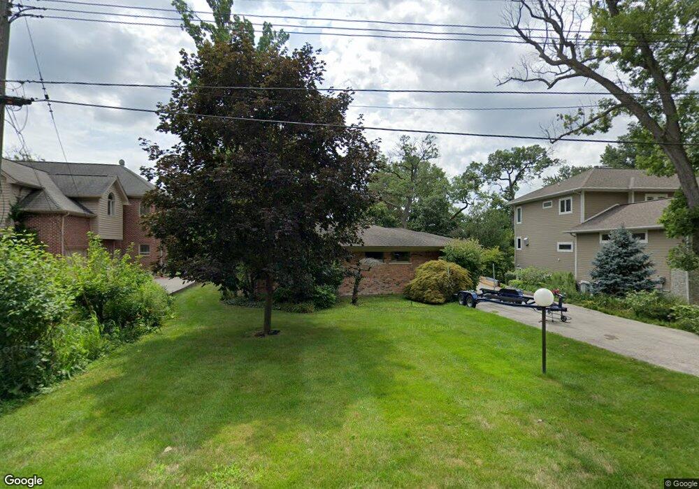
2275 Oakway Dr West Bloomfield, MI 48324
Estimated Value: $830,000 - $1,213,000
3
Beds
4
Baths
2,951
Sq Ft
$319/Sq Ft
Est. Value
About This Home
This home is located at 2275 Oakway Dr, West Bloomfield, MI 48324 and is currently estimated at $941,829, approximately $319 per square foot. 2275 Oakway Dr is a home located in Oakland County with nearby schools including Walt Whitman Elementary School, Pontiac Middle School, and Pontiac High School.
Ownership History
Date
Name
Owned For
Owner Type
Purchase Details
Closed on
Dec 23, 2011
Sold by
Mckay Martin and James H Mckay Revocable Living
Bought by
Thaler Matthew and Bennett Denise A
Current Estimated Value
Home Financials for this Owner
Home Financials are based on the most recent Mortgage that was taken out on this home.
Original Mortgage
$300,000
Outstanding Balance
$204,925
Interest Rate
3.98%
Mortgage Type
New Conventional
Estimated Equity
$736,904
Purchase Details
Closed on
Jun 4, 2010
Sold by
Mckay James H and Mckay Martin
Bought by
Mckay Martin and James H Mckay Revocable Living
Create a Home Valuation Report for This Property
The Home Valuation Report is an in-depth analysis detailing your home's value as well as a comparison with similar homes in the area
Home Values in the Area
Average Home Value in this Area
Purchase History
| Date | Buyer | Sale Price | Title Company |
|---|---|---|---|
| Thaler Matthew | $375,000 | None Available | |
| Mckay Martin | -- | None Available |
Source: Public Records
Mortgage History
| Date | Status | Borrower | Loan Amount |
|---|---|---|---|
| Open | Thaler Matthew | $300,000 |
Source: Public Records
Tax History Compared to Growth
Tax History
| Year | Tax Paid | Tax Assessment Tax Assessment Total Assessment is a certain percentage of the fair market value that is determined by local assessors to be the total taxable value of land and additions on the property. | Land | Improvement |
|---|---|---|---|---|
| 2024 | $4,420 | $421,830 | $0 | $0 |
| 2022 | $4,217 | $377,650 | $72,250 | $305,400 |
| 2021 | $6,933 | $341,130 | $0 | $0 |
| 2020 | $3,882 | $317,150 | $72,250 | $244,900 |
| 2018 | $6,631 | $292,190 | $72,500 | $219,690 |
| 2015 | -- | $239,480 | $0 | $0 |
| 2014 | -- | $214,440 | $0 | $0 |
| 2011 | -- | $198,850 | $0 | $0 |
Source: Public Records
Map
Nearby Homes
- 2121 Uplong St
- 2665 Middlebelt Rd
- 2360 Pineview
- 2300 Pine Lake Rd
- 2954 Long Ridge Ct
- 2372 Pine Lake Rd
- 2622 Pine Ridge Rd
- 1831 Long Pointe Dr
- 3668 Bayou Dr
- 2230 Middlebelt Rd
- 2779 Turtle Lake Dr
- 2216 Middlebelt Rd
- 2759 Turtle Ridge Dr
- 2276 Shore Hill Dr
- 2630 Depew Dr
- 1853 W Bend Dr
- 2785 Turtle Lake Dr
- 2468 Walce Dr
- 2756 Turtle Bluff Dr
- 1887 Harvest Ln