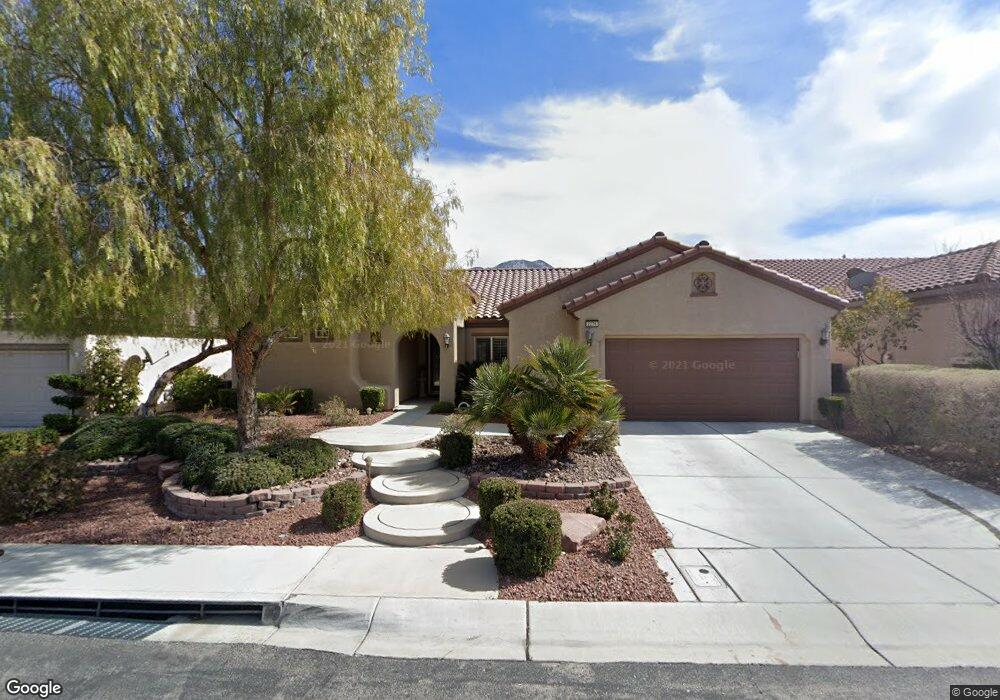
2276 Bensley St Henderson, NV 89044
Sun City Anthem NeighborhoodEstimated Value: $586,515 - $634,000
3
Beds
2
Baths
2,190
Sq Ft
$279/Sq Ft
Est. Value
About This Home
This home is located at 2276 Bensley St, Henderson, NV 89044 and is currently estimated at $610,129, approximately $278 per square foot. 2276 Bensley St is a home located in Clark County with nearby schools including Shirley & Bill Wallin Elementary School, Del E. Webb Middle School, and Liberty High School.
Ownership History
Date
Name
Owned For
Owner Type
Purchase Details
Closed on
Jun 10, 2024
Sold by
Rosenberg Joseph M and Rosenberg Lois H
Bought by
Rosenberg Family Revocable Living Trust and Rosenberg
Current Estimated Value
Purchase Details
Closed on
Mar 10, 2006
Sold by
Del Webb Communities Inc
Bought by
Rosenberg Joseph M and Rosenberg Lois H
Home Financials for this Owner
Home Financials are based on the most recent Mortgage that was taken out on this home.
Original Mortgage
$100,000
Interest Rate
6.19%
Mortgage Type
Fannie Mae Freddie Mac
Create a Home Valuation Report for This Property
The Home Valuation Report is an in-depth analysis detailing your home's value as well as a comparison with similar homes in the area
Home Values in the Area
Average Home Value in this Area
Purchase History
| Date | Buyer | Sale Price | Title Company |
|---|---|---|---|
| Rosenberg Family Revocable Living Trust | -- | None Listed On Document | |
| Rosenberg Joseph M | $398,293 | Lawyers Title Of Nevada |
Source: Public Records
Mortgage History
| Date | Status | Borrower | Loan Amount |
|---|---|---|---|
| Previous Owner | Rosenberg Joseph M | $100,000 |
Source: Public Records
Tax History Compared to Growth
Tax History
| Year | Tax Paid | Tax Assessment Tax Assessment Total Assessment is a certain percentage of the fair market value that is determined by local assessors to be the total taxable value of land and additions on the property. | Land | Improvement |
|---|---|---|---|---|
| 2025 | $3,338 | $152,853 | $50,750 | $102,103 |
| 2024 | $3,242 | $152,853 | $50,750 | $102,103 |
| 2023 | $3,242 | $143,343 | $47,250 | $96,093 |
| 2022 | $3,147 | $127,068 | $39,200 | $87,868 |
| 2021 | $3,056 | $117,062 | $33,950 | $83,112 |
| 2020 | $2,964 | $115,729 | $33,600 | $82,129 |
| 2019 | $2,877 | $112,329 | $31,500 | $80,829 |
| 2018 | $2,794 | $107,626 | $29,750 | $77,876 |
| 2017 | $3,097 | $105,900 | $28,000 | $77,900 |
| 2016 | $2,645 | $102,133 | $22,750 | $79,383 |
| 2015 | $2,638 | $93,816 | $15,750 | $78,066 |
| 2014 | $2,561 | $87,634 | $12,250 | $75,384 |
Source: Public Records
Map
Nearby Homes
- 2255 Bannerwood St
- 2324 Orangeburg Place
- 2142 Sandstone Cliffs Dr
- 2091 Gunnison Place
- 2131 Sandstone Cliffs Dr
- 2312 Perrysburg Dr
- 2148 Silent Echoes Dr
- 2198 Bensley St
- 2188 Bannerwood St
- 2317 Perrysburg Dr
- 2348 Kalkaska Dr
- 2175 Sandstone Cliffs Dr
- 2163 Bannerwood St Unit 30
- 2159 Bensley St
- 2151 Shadow Canyon Dr
- 2404 Anderson Park Dr
- 2240 Cordaville Dr
- 2148 Shadow Canyon Dr
- 2151 Bannerwood St
- 2117 Bliss Corner St
- 2280 Bensley St
- 2272 Bensley St
- 2267 Bannerwood St
- 2263 Bannerwood St
- 2271 Bannerwood St
- 2259 Bannerwood St
- 2284 Bensley St
- 2275 Bensley St
- 2275 Bensley St Unit none
- 2271 Bensley St
- 2275 Bannerwood St
- 2279 Bensley St
- 2268 Bensley St
- 2292 Bensley St
- 2283 Bensley St
- 2267 Bensley St
- 2167 Gunnison Place
- 2163 Lewiston Place
- 2264 Bensley St
- 2162 Gunnison Place