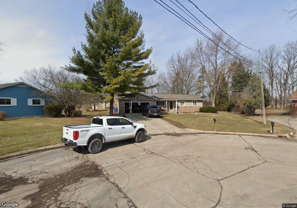
2276 MacScott Ct Swartz Creek, MI 48473
Estimated Value: $225,000 - $242,000
3
Beds
2
Baths
1,378
Sq Ft
$169/Sq Ft
Est. Value
About This Home
This home is located at 2276 MacScott Ct, Swartz Creek, MI 48473 and is currently estimated at $232,592, approximately $168 per square foot. 2276 MacScott Ct is a home located in Genesee County with nearby schools including Elms Road Elementary School, Syring Elementary School, and Dieck Elementary School.
Ownership History
Date
Name
Owned For
Owner Type
Purchase Details
Closed on
Aug 15, 2003
Sold by
Root Dennis J
Bought by
Jewell Kirk W and Jewell Tara L
Current Estimated Value
Home Financials for this Owner
Home Financials are based on the most recent Mortgage that was taken out on this home.
Original Mortgage
$146,000
Outstanding Balance
$71,239
Interest Rate
7.12%
Mortgage Type
Purchase Money Mortgage
Estimated Equity
$161,353
Purchase Details
Closed on
May 19, 2003
Sold by
Harris Ann Talt
Bought by
Root Dennis J
Create a Home Valuation Report for This Property
The Home Valuation Report is an in-depth analysis detailing your home's value as well as a comparison with similar homes in the area
Home Values in the Area
Average Home Value in this Area
Purchase History
| Date | Buyer | Sale Price | Title Company |
|---|---|---|---|
| Jewell Kirk W | $146,900 | Lawyers Title Ins Corp | |
| Root Dennis J | -- | -- |
Source: Public Records
Mortgage History
| Date | Status | Borrower | Loan Amount |
|---|---|---|---|
| Open | Jewell Kirk W | $146,000 |
Source: Public Records
Tax History Compared to Growth
Tax History
| Year | Tax Paid | Tax Assessment Tax Assessment Total Assessment is a certain percentage of the fair market value that is determined by local assessors to be the total taxable value of land and additions on the property. | Land | Improvement |
|---|---|---|---|---|
| 2025 | $1,910 | $97,200 | $0 | $0 |
| 2024 | $534 | $89,500 | $0 | $0 |
| 2023 | $509 | $75,000 | $0 | $0 |
| 2022 | $1,730 | $66,400 | $0 | $0 |
| 2021 | $1,675 | $65,100 | $0 | $0 |
| 2020 | $466 | $63,300 | $0 | $0 |
| 2019 | $458 | $64,400 | $0 | $0 |
| 2018 | $1,912 | $53,100 | $0 | $0 |
| 2017 | $1,872 | $53,100 | $0 | $0 |
| 2016 | $1,424 | $52,900 | $0 | $0 |
| 2015 | $1,134 | $51,700 | $0 | $0 |
| 2014 | $423 | $45,400 | $0 | $0 |
| 2012 | -- | $35,300 | $35,300 | $0 |
Source: Public Records
Map
Nearby Homes
- 7070 Aldredge Dr
- 7062 S Fork Dr
- 7094 Crosswinds Dr
- 6507 Corunna Rd Unit 6493 Corunna Rd.
- 7042 Corunna Rd
- 4076 S Morrish Rd
- 6456 W Court St
- 00 Corunna Rd
- 000 Corunna Rd
- 7091 Saratoga Dr
- 7075 Saratoga Dr
- 1208 Citation Dr
- 7035 Saratoga Dr
- 7184 Saratoga Dr
- 7136 Saratoga Dr
- 7176 Saratoga Dr
- 1366 S Morrish Rd
- 1191 Derby Blvd
- 7030 Saratoga Dr
- 7042 Saratoga Dr
- 2286 MacScott Ct
- 2277 MacScott Ct
- 2277 MacScott Dr
- 7208 S Fork Dr
- 7216 S Fork Dr
- 2296 MacScott Ct
- 7200 S Fork Dr
- 2287 MacScott Ct
- 2297 MacScott Ct
- 7190 S Fork Dr
- 7222 S Fork Dr
- 2306 MacScott Ct
- 7180 S Fork Dr
- 7092 Aldredge Dr
- 7230 S Fork Dr
- 7080 Aldredge Dr
- 7170 S Fork Dr
- 7215 S Fork Dr
- 7112 Aldredge Dr
- 7197 S Fork Dr