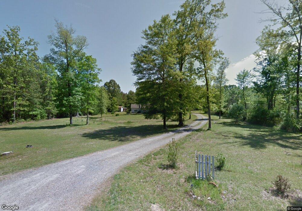
2277 Grant 10 Sheridan, AR 72150
Estimated Value: $253,000 - $298,000
--
Bed
2
Baths
1,920
Sq Ft
$141/Sq Ft
Est. Value
About This Home
This home is located at 2277 Grant 10, Sheridan, AR 72150 and is currently estimated at $270,962, approximately $141 per square foot. 2277 Grant 10 is a home located in Grant County with nearby schools including Sheridan High School.
Ownership History
Date
Name
Owned For
Owner Type
Purchase Details
Closed on
Dec 30, 2024
Sold by
Bagwell Amy and Bagwell Billy Merell
Bought by
Knowles Rita J and Knowles Joseph A
Current Estimated Value
Home Financials for this Owner
Home Financials are based on the most recent Mortgage that was taken out on this home.
Original Mortgage
$203,120
Outstanding Balance
$201,718
Interest Rate
6.84%
Mortgage Type
New Conventional
Estimated Equity
$69,244
Purchase Details
Closed on
Jan 7, 2021
Sold by
Pitre Paula K and Pitre Odelo P
Bought by
Bagwell Amy and Bagwell Billy Merell
Home Financials for this Owner
Home Financials are based on the most recent Mortgage that was taken out on this home.
Original Mortgage
$199,813
Interest Rate
2.71%
Mortgage Type
FHA
Purchase Details
Closed on
May 24, 2002
Bought by
Ballard
Purchase Details
Closed on
Nov 29, 2001
Bought by
Trustees Deed
Purchase Details
Closed on
Nov 6, 2001
Bought by
Bank
Purchase Details
Closed on
Aug 29, 2001
Bought by
Notice Of Default
Create a Home Valuation Report for This Property
The Home Valuation Report is an in-depth analysis detailing your home's value as well as a comparison with similar homes in the area
Home Values in the Area
Average Home Value in this Area
Purchase History
| Date | Buyer | Sale Price | Title Company |
|---|---|---|---|
| Knowles Rita J | $253,900 | West Little Rock Title | |
| Bagwell Amy | $203,500 | West Little Rock Title Co | |
| Ballard | $105,000 | -- | |
| Trustees Deed | -- | -- | |
| Bank | -- | -- | |
| Notice Of Default | -- | -- |
Source: Public Records
Mortgage History
| Date | Status | Borrower | Loan Amount |
|---|---|---|---|
| Open | Knowles Rita J | $203,120 | |
| Previous Owner | Bagwell Amy | $199,813 |
Source: Public Records
Tax History Compared to Growth
Tax History
| Year | Tax Paid | Tax Assessment Tax Assessment Total Assessment is a certain percentage of the fair market value that is determined by local assessors to be the total taxable value of land and additions on the property. | Land | Improvement |
|---|---|---|---|---|
| 2024 | $1,771 | $39,360 | $3,980 | $35,380 |
| 2023 | $1,612 | $39,360 | $3,980 | $35,380 |
| 2022 | $1,662 | $39,360 | $3,980 | $35,380 |
| 2021 | $1,391 | $39,360 | $3,980 | $35,380 |
| 2020 | $1,260 | $32,590 | $5,180 | $27,410 |
| 2019 | $1,203 | $32,590 | $5,180 | $27,410 |
| 2018 | $1,170 | $32,590 | $5,180 | $27,410 |
| 2017 | $1,113 | $32,590 | $5,180 | $27,410 |
| 2015 | -- | $24,500 | $5,180 | $19,320 |
| 2014 | -- | $24,500 | $5,180 | $19,320 |
| 2012 | -- | $22,680 | $5,180 | $17,500 |
Source: Public Records
Map
Nearby Homes
- 000 Grant 10
- 0 Grant County Road 9 (C)
- 0 Grant County Road 9 (B)
- 3386 Grant 9
- 3322 Grant 9
- 379 Grant 167077
- 0 Grant 167079 Rd Unit 25021605
- 284 Grant 167077
- tbd Grant 64
- 0 Grant 43 (F)
- 0 Grant 433
- 0 Grant 43 (B)
- 0 Grant 433 (Tract B)
- 3324 U S Highway 167
- 000 U S Highway 167
- 0 Grant 43 (A)
- TBD Forest Rd
- 138 Grant 17
- 904 Grant 9
- 1005 Kari Dr
- 2277 Grant 10
- 2278 Grant 10
- 2318 Grant 10
- 2388 Grant 10
- 2503 Grant 10
- 1501 Grant 10
- 0 Grant 9 & 10 Unit 18009005
- 0 Grant 9 & 10
- 2370 Grant 10
- Tract A Grant 9 (Tract A) Unit Tract A on survey
- 4821 Grant 9
- 3847 Grant 9
- 4871 Grant 10
- 4800 Grant 9
- 3841 Grant 9
- 0 Grant 702 (Tract A) and (Tract B) Unit 21037338
- 0 Grant 702 (Tract A) and (Tract B)
- 363 Grant 7
- 0 Grant County Road 9 (A)
- Tract F Grant 9 (Tract F) Unit Tract F on Survey
