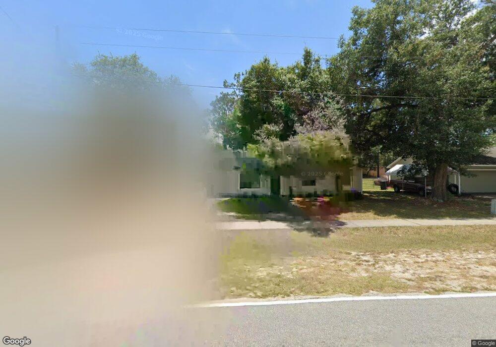
2279 Haulover Blvd Deltona, FL 32738
Estimated Value: $258,000 - $285,000
3
Beds
2
Baths
1,130
Sq Ft
$237/Sq Ft
Est. Value
About This Home
This home is located at 2279 Haulover Blvd, Deltona, FL 32738 and is currently estimated at $268,161, approximately $237 per square foot. 2279 Haulover Blvd is a home located in Volusia County with nearby schools including Friendship Elementary School, Galaxy Middle School, and Pine Ridge High School.
Ownership History
Date
Name
Owned For
Owner Type
Purchase Details
Closed on
Sep 24, 1993
Sold by
Montgomery Stephanie J and Johnson William R
Bought by
Johnson William R and Johnson Stephanie J
Current Estimated Value
Purchase Details
Closed on
Apr 15, 1987
Bought by
Johnson Wm R and Johnson Stephanie J
Purchase Details
Closed on
May 15, 1986
Bought by
Johnson Wm R and Johnson Stephanie J
Purchase Details
Closed on
Jan 15, 1982
Bought by
Johnson Wm R and Johnson Stephanie J
Purchase Details
Closed on
Oct 15, 1972
Bought by
Johnson Wm R and Johnson Stephanie J
Create a Home Valuation Report for This Property
The Home Valuation Report is an in-depth analysis detailing your home's value as well as a comparison with similar homes in the area
Home Values in the Area
Average Home Value in this Area
Purchase History
| Date | Buyer | Sale Price | Title Company |
|---|---|---|---|
| Johnson William R | -- | -- | |
| Johnson Wm R | $52,500 | -- | |
| Johnson Wm R | $20,000 | -- | |
| Johnson Wm R | $100 | -- | |
| Johnson Wm R | $1,200 | -- |
Source: Public Records
Tax History Compared to Growth
Tax History
| Year | Tax Paid | Tax Assessment Tax Assessment Total Assessment is a certain percentage of the fair market value that is determined by local assessors to be the total taxable value of land and additions on the property. | Land | Improvement |
|---|---|---|---|---|
| 2025 | $3,222 | $215,567 | $66,110 | $149,457 |
| 2024 | $3,222 | $216,148 | $66,110 | $150,038 |
| 2023 | $3,222 | $210,090 | $62,388 | $147,702 |
| 2022 | $2,930 | $173,688 | $44,563 | $129,125 |
| 2021 | $2,729 | $135,221 | $32,976 | $102,245 |
| 2020 | $2,509 | $121,078 | $24,064 | $97,014 |
| 2019 | $2,413 | $112,586 | $18,716 | $93,870 |
| 2018 | $2,244 | $100,738 | $11,854 | $88,884 |
| 2017 | $2,057 | $84,305 | $9,376 | $74,929 |
| 2016 | $1,871 | $75,516 | $0 | $0 |
| 2015 | $1,733 | $63,490 | $0 | $0 |
| 2014 | $1,589 | $57,360 | $0 | $0 |
Source: Public Records
Map
Nearby Homes
- 2930 Malcolm Dr
- 2337 Rabenton Rd
- 2861 Blackburn Ave
- 2169 Fireside Rd
- 2163 Fireside Rd
- 2421 Omaha Dr
- 3001 Lake Helen Osteen Rd
- 2920 Surf Dr Unit 33
- 0 Snow Dr
- 3199 Urmey Ave
- 3054 Parma Dr
- 2505 Derby Dr
- 0 Haulover Blvd
- 2860 Surf Dr
- 3009 Parma Dr
- 2990 Parma Dr
- 3189 Saint James Ave
- 2830 Surf Dr
- 2507 Whitehorse St
- 2951 E Waco Dr
- 2269 Haulover Blvd
- 2289 Haulover Blvd
- 2900 Tide Ct
- 2400 Worth Ln
- 2910 Tide Ct
- 2270 Haulover Blvd
- 2280 Haulover Blvd
- 2890 Tide Ct
- 2290 Haulover Blvd
- 2920 Owen Ct
- 2909 Tide Ct
- 2899 Tide Ct
- 2930 Owen Ct
- 2919 Tide Ct
- 2490 Worth Ln
- 2403 Worth Ln
- 3013 Lake Helen Osteen Rd
- 3061 Lake Helen Osteen Rd
- 2929 Owen Ct
- 2850 Malcolm Dr
