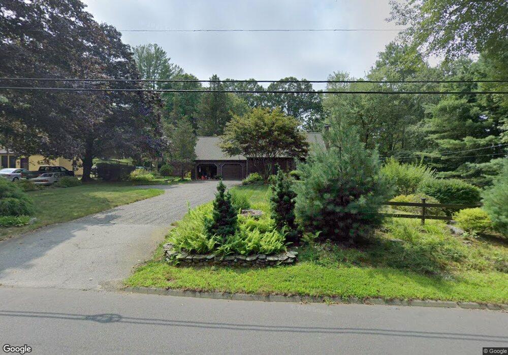
228 Airline Rd Clinton, CT 06413
Estimated Value: $378,000 - $464,000
3
Beds
2
Baths
1,306
Sq Ft
$328/Sq Ft
Est. Value
About This Home
This home is located at 228 Airline Rd, Clinton, CT 06413 and is currently estimated at $428,191, approximately $327 per square foot. 228 Airline Rd is a home located in Middlesex County with nearby schools including Lewin G. Joel Jr. School, The Morgan School, and Our Lady of Mercy Preparatory Academy.
Ownership History
Date
Name
Owned For
Owner Type
Purchase Details
Closed on
Jun 30, 1992
Sold by
Webel Frederick A and Webel Susan D
Bought by
Slater Helen and Slater Donalee
Current Estimated Value
Home Financials for this Owner
Home Financials are based on the most recent Mortgage that was taken out on this home.
Original Mortgage
$80,000
Interest Rate
8.57%
Mortgage Type
Purchase Money Mortgage
Create a Home Valuation Report for This Property
The Home Valuation Report is an in-depth analysis detailing your home's value as well as a comparison with similar homes in the area
Home Values in the Area
Average Home Value in this Area
Purchase History
| Date | Buyer | Sale Price | Title Company |
|---|---|---|---|
| Slater Helen | $162,500 | -- |
Source: Public Records
Mortgage History
| Date | Status | Borrower | Loan Amount |
|---|---|---|---|
| Closed | Slater Helen | $85,000 | |
| Closed | Slater Helen | $80,000 |
Source: Public Records
Tax History Compared to Growth
Tax History
| Year | Tax Paid | Tax Assessment Tax Assessment Total Assessment is a certain percentage of the fair market value that is determined by local assessors to be the total taxable value of land and additions on the property. | Land | Improvement |
|---|---|---|---|---|
| 2025 | $5,337 | $171,400 | $49,600 | $121,800 |
| 2024 | $5,187 | $171,400 | $49,600 | $121,800 |
| 2023 | $5,113 | $171,400 | $49,600 | $121,800 |
| 2022 | $5,113 | $171,400 | $49,600 | $121,800 |
| 2021 | $4,895 | $164,100 | $49,600 | $114,500 |
| 2020 | $5,128 | $164,100 | $49,600 | $114,500 |
| 2019 | $5,128 | $164,100 | $49,600 | $114,500 |
| 2018 | $5,012 | $164,100 | $49,600 | $114,500 |
| 2017 | $4,908 | $164,100 | $49,600 | $114,500 |
| 2016 | $4,454 | $164,100 | $49,600 | $114,500 |
| 2015 | $4,222 | $157,700 | $55,100 | $102,600 |
| 2014 | $4,143 | $157,700 | $55,100 | $102,600 |
Source: Public Records
Map
Nearby Homes
- 131 Cow Hill Rd
- 14 Blaine Ave
- 5 Kings Grant Rd
- 23 Egypt Ln
- 246 Cow Hill Rd
- 21 Stonewall Ln
- 25 Olde Orchard Rd
- 7 Rocky Ledge Dr
- 19 W Shore Dr
- 148 Glenwood Rd
- 36 Silver Birch Ln
- 13 Longview Terrace
- 4 Columbia Rd
- 141 Duck Hole Rd
- 6 Hemlock Hill Rd
- 129 Acorn Rd
- 82 N High St
- 7 Taylor Ridge Rd
- 28 Aylesbury Cir Unit 28
- 26 Ninety Rod Rd
- 230 Airline Rd
- 230 Airline Rd
- 226 Airline Rd
- 220 Airline Rd
- 265 Airline Rd
- 218 Airline Rd
- 232 Airline Rd
- 234 Airline Rd
- 1 Pleasant Hill
- 236 Airline Rd
- 147 Airline Rd
- 145 Airline Rd
- 258 Airline Rd
- 116 Old Nod Rd
- 143 Airline Rd
- 3 Pleasant Hill
- 21 Country Village Ln
- 15 Country Village Ln
- 260 Airline Rd
- 2 Pleasant Hill