Estimated Value: $459,000 - $541,000
--
Bed
2
Baths
2,678
Sq Ft
$192/Sq Ft
Est. Value
About This Home
This home is located at 228 Bolton Rd, Grant, AL 35747 and is currently estimated at $514,248, approximately $192 per square foot. 228 Bolton Rd is a home located in Marshall County with nearby schools including Claysville Jr High School, Kate Duncan Smith DAR Elementary School, and Kate Duncan Smith DAR Middle School.
Ownership History
Date
Name
Owned For
Owner Type
Purchase Details
Closed on
Aug 20, 2020
Sold by
Benson Casandra Dawn and Benson Jason Howard
Bought by
Benson Casandra Dawn and Benson Jason Howard
Current Estimated Value
Purchase Details
Closed on
Apr 20, 2020
Sold by
Bolton Christopher John and Benson Casandra Dawn
Bought by
Benson Casandra Dawn
Purchase Details
Closed on
Jun 19, 2007
Sold by
Bolton John A and Bolton Julie
Bought by
Bolton John A and Bolton Julie
Home Financials for this Owner
Home Financials are based on the most recent Mortgage that was taken out on this home.
Original Mortgage
$299,000
Interest Rate
6.35%
Mortgage Type
New Conventional
Create a Home Valuation Report for This Property
The Home Valuation Report is an in-depth analysis detailing your home's value as well as a comparison with similar homes in the area
Home Values in the Area
Average Home Value in this Area
Purchase History
| Date | Buyer | Sale Price | Title Company |
|---|---|---|---|
| Benson Casandra Dawn | $333,500 | None Available | |
| Benson Casandra Dawn | -- | None Available | |
| Bolton John A | -- | None Available |
Source: Public Records
Mortgage History
| Date | Status | Borrower | Loan Amount |
|---|---|---|---|
| Previous Owner | Bolton John A | $299,000 |
Source: Public Records
Tax History Compared to Growth
Tax History
| Year | Tax Paid | Tax Assessment Tax Assessment Total Assessment is a certain percentage of the fair market value that is determined by local assessors to be the total taxable value of land and additions on the property. | Land | Improvement |
|---|---|---|---|---|
| 2024 | $1,528 | $40,560 | $0 | $0 |
| 2023 | $1,528 | $39,920 | $0 | $0 |
| 2022 | $1,480 | $39,260 | $0 | $0 |
| 2021 | $1,433 | $37,520 | $0 | $0 |
| 2020 | $2,438 | $63,400 | $0 | $0 |
| 2017 | $0 | $29,540 | $0 | $0 |
| 2015 | -- | $32,020 | $0 | $0 |
| 2014 | -- | $32,020 | $0 | $0 |
Source: Public Records
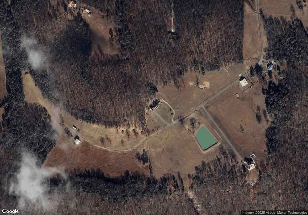
Map
Nearby Homes
- 80ac Johnson Hollow Rd
- 4357 Merrill Mountain Rd
- 801 Johnson Hollow Rd
- 31654 Us Highway 431
- 304A Riverview Dr
- 304 Riverview Dr
- 3.6 acres Highway 431 South S
- 2027 Oak Grove Rd
- 1821 Simpson Point Rd
- 24 11 Forty Rd
- 131 Winter Dr
- .57 Shelby Dr
- 476 Cedar Ridge Dr
- 0 Thurman Rd
- 3 Acres U S 431
- 00 C Ivy Rd SE
- 31.19 ACS U S 431
- 112 Shin Point Rd
- 28543 Us Highway 431 Unit 23
- 179 City Park Rd
- 2801 Merrill Mountain Rd
- 227 Bolton Rd
- 223 Bolton Rd
- 3015 Merrill Mountain Rd
- 2937 Merrill Mountain Rd
- 2909 Merrill Mountain Rd
- 3001 Merrill Mountain Rd
- 2570 Merrill Mountain Rd
- 3645 Merrill Mountain Rd
- 42 Acres Merrill Mountain Rd
- 3083 Merrill Mountain Rd
- 3115 Merrill Mountain Rd
- 2720 Merrill Mountain Rd
- 3154 Merrill Mountain Rd
- 3223 Merrill Mountain Rd
- 2426 Merrill Mountain Rd
- 3210 Merrill Mountain Rd
- 2284 Merrill Mountain Rd
- 3383 Merrill Mountain Rd
- 3413 Merrill Mountain Rd