228 Brookwood Path Dawsonville, GA 30534
Estimated Value: $424,000 - $703,000
3
Beds
3
Baths
1,728
Sq Ft
$325/Sq Ft
Est. Value
About This Home
This home is located at 228 Brookwood Path, Dawsonville, GA 30534 and is currently estimated at $560,915, approximately $324 per square foot. 228 Brookwood Path is a home located in Lumpkin County with nearby schools including Lumpkin County High School and Bay Creek Christian Academy.
Ownership History
Date
Name
Owned For
Owner Type
Purchase Details
Closed on
Dec 8, 2016
Sold by
Hubbard Corey and Hubbard Lori
Bought by
Redd Randall H and Redd Kendra L
Current Estimated Value
Home Financials for this Owner
Home Financials are based on the most recent Mortgage that was taken out on this home.
Original Mortgage
$232,000
Outstanding Balance
$187,624
Interest Rate
3.57%
Mortgage Type
New Conventional
Estimated Equity
$373,291
Purchase Details
Closed on
May 2, 2001
Sold by
Deerleap Properties
Bought by
Hubbard Cory and Hubbard Lori
Create a Home Valuation Report for This Property
The Home Valuation Report is an in-depth analysis detailing your home's value as well as a comparison with similar homes in the area
Home Values in the Area
Average Home Value in this Area
Purchase History
| Date | Buyer | Sale Price | Title Company |
|---|---|---|---|
| Redd Randall H | $290,000 | -- | |
| Hubbard Cory | $32,000 | -- |
Source: Public Records
Mortgage History
| Date | Status | Borrower | Loan Amount |
|---|---|---|---|
| Open | Redd Randall H | $232,000 |
Source: Public Records
Tax History Compared to Growth
Tax History
| Year | Tax Paid | Tax Assessment Tax Assessment Total Assessment is a certain percentage of the fair market value that is determined by local assessors to be the total taxable value of land and additions on the property. | Land | Improvement |
|---|---|---|---|---|
| 2024 | $3,913 | $168,365 | $14,966 | $153,399 |
| 2023 | $3,291 | $159,461 | $14,966 | $144,495 |
| 2022 | $3,363 | $137,841 | $12,473 | $125,368 |
| 2021 | $2,996 | $119,028 | $12,473 | $106,555 |
| 2020 | $3,014 | $116,238 | $11,950 | $104,288 |
| 2019 | $3,041 | $116,238 | $11,950 | $104,288 |
| 2018 | $2,900 | $104,209 | $11,950 | $92,259 |
| 2017 | $2,909 | $102,561 | $11,950 | $90,611 |
| 2016 | $2,382 | $81,661 | $11,950 | $69,711 |
| 2015 | $2,126 | $81,662 | $11,950 | $69,711 |
| 2014 | $2,126 | $82,652 | $11,950 | $70,702 |
| 2013 | -- | $83,643 | $11,950 | $71,692 |
Source: Public Records
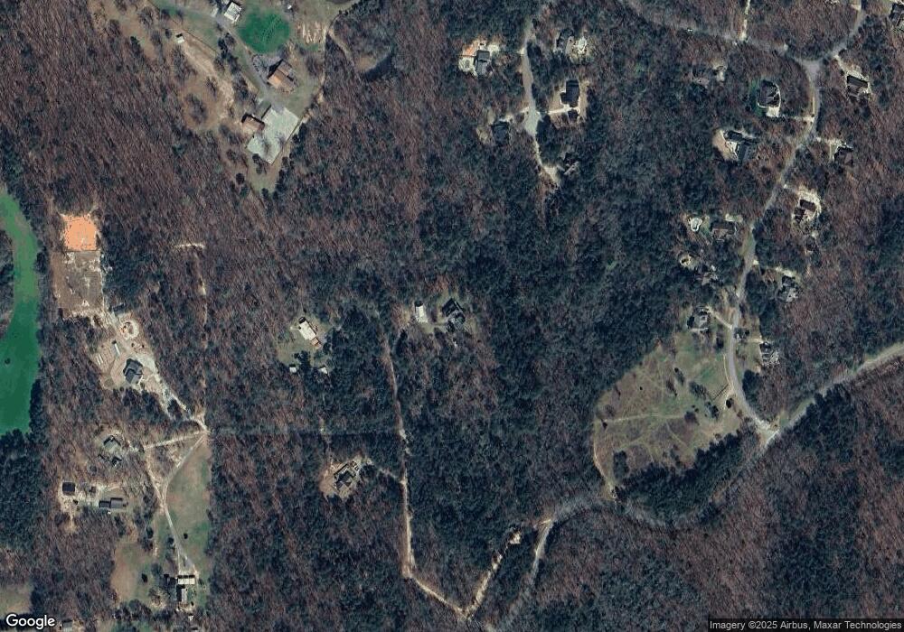
Map
Nearby Homes
- 00 Little Mountain Rd
- 0 Mill Creek Unit 411255
- 657 Rock Chimney Ln
- 322 Miller Dr
- 49 Makers Way
- 1861 Mill Creek Rd
- 6380 Dawsonville Hwy
- 50 Hannahs Ct
- 27 Bryn Ct
- 0 Little Mountain Rd Unit 23939447
- 10 Lee Mashburn Rd
- 3050 Burt Creek Rd
- 0 Rider Rd Unit 10408283
- 0 Rider Rd Unit 7481902
- 617 Gold Bullion Dr W
- 157 Lakota Dr
- 269 Crown Pointe Dr
- 66 Patriot Trail
- 296 Brookwood Path
- 0 Brookwood Path Unit 9054238
- 0 Brookwood Path Unit 6947036
- 0 Brookwood Path Unit 8919298
- 0 Brookwood Path
- 00 Brookwood Path
- 538 Fern Park Dr
- 135 Brookwood Path
- 564 Fern Park Dr
- 0 Barker Ridge Unit 981 8643574
- 0 Barker Ridge Unit 6604186
- 0 Barker Ridge Unit 981
- 00 Greenway Rd
- 83 Fern Park Dr
- 105 Fern Park Dr
- 512 Fern Park Dr
- 151 Fern Park Dr
- 493 Fern Park Dr
- Lot 14 Fern Park Dr
- Lot 23 Fern Park Dr