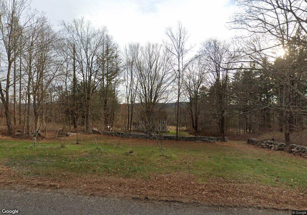
228 Bunker Hill Rd Andover, CT 06232
Estimated Value: $425,616 - $490,000
3
Beds
2
Baths
2,240
Sq Ft
$204/Sq Ft
Est. Value
About This Home
This home is located at 228 Bunker Hill Rd, Andover, CT 06232 and is currently estimated at $457,154, approximately $204 per square foot. 228 Bunker Hill Rd is a home located in Tolland County with nearby schools including Andover Elementary School, RHAM Middle School, and RHAM High School.
Ownership History
Date
Name
Owned For
Owner Type
Purchase Details
Closed on
May 10, 2010
Sold by
Houle Mark and Houle Laurel
Bought by
Houle Nathaniel
Current Estimated Value
Home Financials for this Owner
Home Financials are based on the most recent Mortgage that was taken out on this home.
Original Mortgage
$212,000
Interest Rate
5.03%
Purchase Details
Closed on
Jun 18, 2009
Sold by
Connecticut State Of
Bought by
Houle Mark W and Houle Laurel A
Create a Home Valuation Report for This Property
The Home Valuation Report is an in-depth analysis detailing your home's value as well as a comparison with similar homes in the area
Home Values in the Area
Average Home Value in this Area
Purchase History
| Date | Buyer | Sale Price | Title Company |
|---|---|---|---|
| Houle Nathaniel | $277,500 | -- | |
| Houle Nathaniel | $277,500 | -- | |
| Houle Mark W | $277,500 | -- | |
| Houle Mark W | $277,500 | -- |
Source: Public Records
Mortgage History
| Date | Status | Borrower | Loan Amount |
|---|---|---|---|
| Closed | Houle Mark W | $212,000 |
Source: Public Records
Tax History Compared to Growth
Tax History
| Year | Tax Paid | Tax Assessment Tax Assessment Total Assessment is a certain percentage of the fair market value that is determined by local assessors to be the total taxable value of land and additions on the property. | Land | Improvement |
|---|---|---|---|---|
| 2025 | $5,935 | $187,880 | $40,530 | $147,350 |
| 2024 | $5,911 | $187,880 | $40,530 | $147,350 |
| 2023 | $5,879 | $187,880 | $40,530 | $147,350 |
| 2022 | $5,995 | $187,880 | $40,530 | $147,350 |
| 2021 | $5,904 | $164,000 | $52,400 | $111,600 |
| 2020 | $5,851 | $164,300 | $52,400 | $111,900 |
| 2019 | $5,749 | $164,300 | $52,400 | $111,900 |
| 2018 | $5,578 | $164,300 | $52,400 | $111,900 |
| 2017 | $5,340 | $164,300 | $52,400 | $111,900 |
| 2016 | $5,539 | $180,300 | $52,900 | $127,400 |
| 2015 | $5,539 | $180,300 | $52,900 | $127,400 |
| 2014 | $5,539 | $180,300 | $52,900 | $127,400 |
Source: Public Records
Map
Nearby Homes
- 220 Bunker Hill Rd
- 834 Bunker Hill Rd
- 225 Bunker Hill Rd
- NO# Bunker Hill Rd
- 741 Bunker Hill Rd
- 768 Bunker Hill Rd
- 760 Bunker Hill Rd
- 209 Bunker Hill Rd
- 756 Bunker Hill Rd
- 191 Bunker Hill Rd
- 699 Bunker Hill Rd
- 190 Bunker Hill Rd
- 203 Bunker Hill Rd
- 183 Bunker Hill Rd
- 710 Bunker Hill Rd
- 800 Bunker Hill Rd
- 65 Parker Bridge Rd
- 393 Parker Bridge Rd
- 379 Parker Bridge Rd
- 357 Parker Bridge Rd