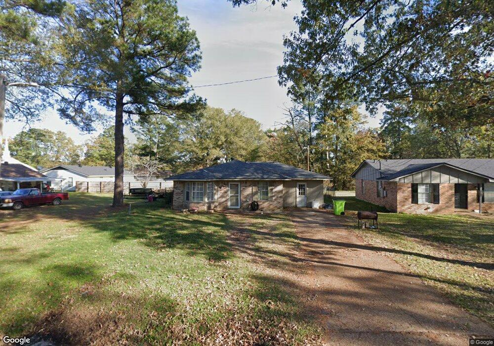
228 Carrier Ave Benton, LA 71006
Estimated Value: $117,000 - $230,000
3
Beds
1
Bath
1,475
Sq Ft
$116/Sq Ft
Est. Value
About This Home
This home is located at 228 Carrier Ave, Benton, LA 71006 and is currently estimated at $171,297, approximately $116 per square foot. 228 Carrier Ave is a home with nearby schools including Benton Elementary School, Benton Middle School, and Benton High School.
Ownership History
Date
Name
Owned For
Owner Type
Purchase Details
Closed on
Dec 13, 2024
Sold by
Mathews Properties Llc
Bought by
Mathews Jason Charles and Mathews Elizabeth L
Current Estimated Value
Home Financials for this Owner
Home Financials are based on the most recent Mortgage that was taken out on this home.
Original Mortgage
$98,250
Outstanding Balance
$97,467
Interest Rate
6.72%
Mortgage Type
New Conventional
Estimated Equity
$73,830
Purchase Details
Closed on
Dec 21, 2010
Sold by
Wells Fargo Bank
Bought by
Matthews Properties Llc
Home Financials for this Owner
Home Financials are based on the most recent Mortgage that was taken out on this home.
Original Mortgage
$36,400
Interest Rate
4.36%
Mortgage Type
Unknown
Purchase Details
Closed on
May 12, 2010
Sold by
Bates Ladana and Bates Carl E
Bought by
Wells Fargo Bank Na
Create a Home Valuation Report for This Property
The Home Valuation Report is an in-depth analysis detailing your home's value as well as a comparison with similar homes in the area
Home Values in the Area
Average Home Value in this Area
Purchase History
| Date | Buyer | Sale Price | Title Company |
|---|---|---|---|
| Mathews Jason Charles | -- | None Listed On Document | |
| Mathews Jason Charles | -- | None Listed On Document | |
| Matthews Properties Llc | $45,500 | None Available | |
| Wells Fargo Bank Na | $78,000 | None Available |
Source: Public Records
Mortgage History
| Date | Status | Borrower | Loan Amount |
|---|---|---|---|
| Open | Mathews Jason Charles | $98,250 | |
| Closed | Mathews Jason Charles | $98,250 | |
| Previous Owner | Matthews Properties Llc | $36,400 |
Source: Public Records
Tax History
| Year | Tax Paid | Tax Assessment Tax Assessment Total Assessment is a certain percentage of the fair market value that is determined by local assessors to be the total taxable value of land and additions on the property. | Land | Improvement |
|---|---|---|---|---|
| 2024 | $1,192 | $8,856 | $600 | $8,256 |
| 2023 | $1,140 | $7,935 | $600 | $7,335 |
| 2022 | $1,135 | $7,935 | $600 | $7,335 |
| 2021 | $1,119 | $7,935 | $600 | $7,335 |
| 2020 | $1,022 | $7,935 | $600 | $7,335 |
| 2019 | $1,055 | $8,100 | $600 | $7,500 |
| 2018 | $1,055 | $8,100 | $600 | $7,500 |
| 2017 | $1,103 | $8,100 | $600 | $7,500 |
| 2016 | $1,103 | $8,100 | $600 | $7,500 |
| 2015 | $1,010 | $7,510 | $600 | $6,910 |
| 2014 | $1,009 | $7,510 | $600 | $6,910 |
Source: Public Records
Map
Nearby Homes
- 0000 Old Plain Dealing Rd
- 00 Old Plain Dealing Rd
- 1228 Old Plain Dealing Rd
- 157 1st St
- 900 5th St
- 0 Lincoln Lots 5 + 6 Unit 21049903
- 0 Lincoln Lots 14 15 + 16 Unit 21049972
- 0 Pine
- 510 Lee St
- 4950 Benton Rd
- 326 Montgomery Ln
- 814 Lee St
- 155 Lola Cir
- 106 Mildred St
- 110 Seger Cir
- 1001 Dale Dr
- 204 Silver Leaf Dr
- 147 Silver Leaf Dr
- 1211 Lee St
- 102 Old Bellevue Rd
Your Personal Tour Guide
Ask me questions while you tour the home.