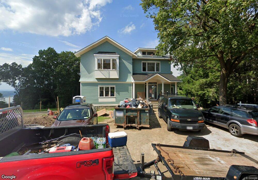
228 Clinton Ave Dobbs Ferry, NY 10522
Estimated Value: $1,798,000 - $2,526,134
5
Beds
5
Baths
3,800
Sq Ft
$586/Sq Ft
Est. Value
About This Home
This home is located at 228 Clinton Ave, Dobbs Ferry, NY 10522 and is currently estimated at $2,225,534, approximately $585 per square foot. 228 Clinton Ave is a home located in Westchester County with nearby schools including Springhurst Elementary School, Dobbs Ferry High School, and The Masters School.
Ownership History
Date
Name
Owned For
Owner Type
Purchase Details
Closed on
May 29, 2020
Sold by
228 Clinton Avenue Llc
Bought by
Rosenblatt Richard and Rosenblatt Jeanne
Current Estimated Value
Home Financials for this Owner
Home Financials are based on the most recent Mortgage that was taken out on this home.
Original Mortgage
$1,500,000
Outstanding Balance
$1,329,635
Interest Rate
3.2%
Mortgage Type
New Conventional
Estimated Equity
$895,899
Purchase Details
Closed on
Mar 5, 2013
Sold by
Barnett Harret
Bought by
228 Clinton Avenue Llc
Create a Home Valuation Report for This Property
The Home Valuation Report is an in-depth analysis detailing your home's value as well as a comparison with similar homes in the area
Home Values in the Area
Average Home Value in this Area
Purchase History
| Date | Buyer | Sale Price | Title Company |
|---|---|---|---|
| Rosenblatt Richard | $195,000 | All New York Title Agcy Inc | |
| 228 Clinton Avenue Llc | $420,000 | Keppler Title Agency |
Source: Public Records
Mortgage History
| Date | Status | Borrower | Loan Amount |
|---|---|---|---|
| Open | Rosenblatt Richard | $1,500,000 |
Source: Public Records
Tax History Compared to Growth
Tax History
| Year | Tax Paid | Tax Assessment Tax Assessment Total Assessment is a certain percentage of the fair market value that is determined by local assessors to be the total taxable value of land and additions on the property. | Land | Improvement |
|---|---|---|---|---|
| 2024 | $42,645 | $1,933,500 | $578,900 | $1,354,600 |
| 2023 | $62,698 | $2,075,600 | $526,200 | $1,549,400 |
| 2022 | $39,796 | $1,985,400 | $526,200 | $1,459,200 |
| 2021 | $452,684 | $1,804,900 | $526,200 | $1,278,700 |
| 2020 | $55,831 | $1,669,500 | $553,900 | $1,115,600 |
| 2019 | $37,128 | $1,669,500 | $553,900 | $1,115,600 |
| 2018 | $22,206 | $1,120,300 | $553,900 | $566,400 |
| 2017 | $0 | $556,400 | $556,400 | $0 |
| 2016 | $452,684 | $556,400 | $556,400 | $0 |
| 2015 | -- | $4,950 | $4,950 | $0 |
| 2014 | -- | $4,950 | $4,950 | $0 |
| 2013 | -- | $4,950 | $4,950 | $0 |
Source: Public Records
Map
Nearby Homes
- 177 Clinton Ave
- 72 Magnolia Dr
- 78 Oliphant Ave
- 18 Eldredge Place
- 7 Ravine Dr
- 33 Livingston Ave
- 132 Edgars Ln
- 11 Fairlawn Ave
- 737 N Broadway Unit 2D
- 40 Floral Dr
- 63 Grandview Ave
- 65 Circle Dr
- 14 Manor House Dr Unit G29
- 17 Manor House Dr Unit K13
- 101 Beacon Hill Dr Unit 13
- 110 Round Hill Rd Unit 77
- 118 Round Hill Rd
- 13 English Ln Unit B
- 565 Broadway Unit 4A
- 565 Broadway Unit 1A
- 238 Clinton Ave
- 242 Clinton Ave
- 59 Appleton Place
- 248 Clinton Ave
- 218 Clinton Ave
- 55 Appleton Place
- 225 Clinton Ave
- 142 Bellair Dr
- 146 Bellair Dr
- 252 Clinton Ave
- 130 Bellair Dr
- 51 Appleton Place
- 200 Clinton Ave
- 231 Clinton Ave
- 120 Bellair Dr
- 256 Clinton Ave
- 194 Clinton Ave
- 114 Bellair Dr
- 141 Bellair Dr
- 342 Palisade Ave