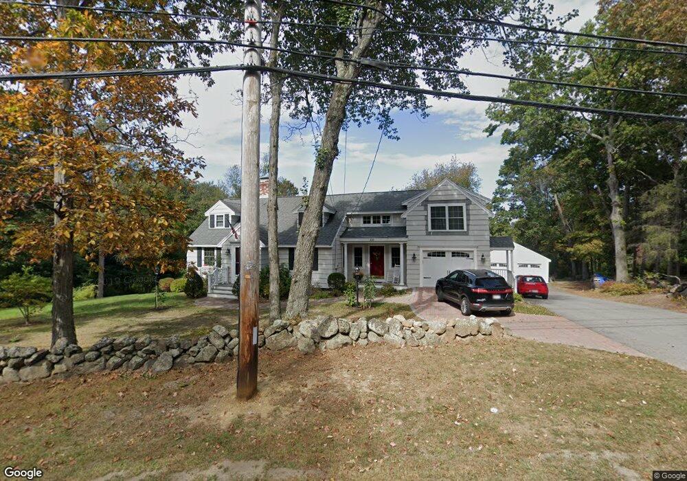
228 Dale St North Andover, MA 01845
Estimated Value: $907,704 - $1,161,000
4
Beds
3
Baths
3,426
Sq Ft
$302/Sq Ft
Est. Value
About This Home
This home is located at 228 Dale St, North Andover, MA 01845 and is currently estimated at $1,035,676, approximately $302 per square foot. 228 Dale St is a home located in Essex County with nearby schools including Franklin Elementary School, North Andover Middle School, and North Andover High School.
Ownership History
Date
Name
Owned For
Owner Type
Purchase Details
Closed on
Jul 18, 2022
Sold by
Morgan Edward J and Morgan Jacqueline M
Bought by
Morgan Ft
Current Estimated Value
Purchase Details
Closed on
Sep 26, 1986
Bought by
Morgan Edward J and Morgan Jacqueline M
Create a Home Valuation Report for This Property
The Home Valuation Report is an in-depth analysis detailing your home's value as well as a comparison with similar homes in the area
Home Values in the Area
Average Home Value in this Area
Purchase History
| Date | Buyer | Sale Price | Title Company |
|---|---|---|---|
| Morgan Ft | -- | None Available | |
| Morgan Edward J | $175,000 | -- |
Source: Public Records
Mortgage History
| Date | Status | Borrower | Loan Amount |
|---|---|---|---|
| Previous Owner | Morgan Edward J | $120,000 | |
| Previous Owner | Morgan Edward J | $138,000 | |
| Previous Owner | Morgan Edward J | $50,000 |
Source: Public Records
Tax History Compared to Growth
Tax History
| Year | Tax Paid | Tax Assessment Tax Assessment Total Assessment is a certain percentage of the fair market value that is determined by local assessors to be the total taxable value of land and additions on the property. | Land | Improvement |
|---|---|---|---|---|
| 2025 | $8,727 | $775,000 | $419,800 | $355,200 |
| 2024 | $8,473 | $764,000 | $398,000 | $366,000 |
| 2023 | $7,968 | $651,000 | $336,100 | $314,900 |
| 2022 | $7,895 | $583,500 | $305,600 | $277,900 |
| 2021 | $7,867 | $555,200 | $277,300 | $277,900 |
| 2020 | $7,248 | $527,500 | $277,300 | $250,200 |
| 2019 | $7,074 | $527,500 | $277,300 | $250,200 |
| 2018 | $7,665 | $527,500 | $277,300 | $250,200 |
| 2017 | $7,046 | $493,400 | $217,200 | $276,200 |
| 2016 | $6,987 | $489,600 | $215,900 | $273,700 |
| 2015 | $6,769 | $470,400 | $212,400 | $258,000 |
Source: Public Records
Map
Nearby Homes
- 378 Salem St
- 75 Thistle Rd
- 45 Thistle Rd
- 495 Johnson St
- 479 Stevens St
- 80 Sandra Ln
- 447 Stevens St
- 3 Great Pond Rd
- 65 Saile Way
- 174 Chestnut St Unit 14
- 141 Cortland Dr Unit 141
- 141 Cortland Dr
- 116 Mill Pond
- 115 Mill Pond
- 112 Mill Pond
- 121 Cortland Dr
- 124 Quail Run Rd
- 136 Quail Run Rd
- 98 Mill Pond
- 76 Hillside Rd
- 234 Dale St
- 242 Dale St
- 220 Dale St
- 218 Dale St
- 218 Dale St Unit 220
- 244 Dale St
- 259 Dale St
- 10 Bear Hill Rd
- 275 Dale St
- 0 Confidential Way Unit 72274761
- 999 0000
- 9999 Confidential Address
- 0 Confidential Way Unit 71313543
- 0 Confidential Way Unit 71334794
- 0 Confidential Way Unit 71383010
- 0 Confidential Way Unit 71430307
- 129-131 N Ramp Rd
- 0 Confidential Way Unit 71271555
- 0 Confidential Way Unit 70226247
- lot 3N-A Berry St