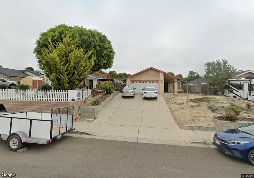
228 E Price St Unit D Nipomo, CA 93444
Estimated Value: $278,000 - $450,000
3
Beds
1
Bath
800
Sq Ft
$472/Sq Ft
Est. Value
About This Home
This home is located at 228 E Price St Unit D, Nipomo, CA 93444 and is currently estimated at $377,788, approximately $472 per square foot. 228 E Price St Unit D is a home located in San Luis Obispo County with nearby schools including Nipomo Elementary School, Mesa Middle School, and Nipomo High School.
Ownership History
Date
Name
Owned For
Owner Type
Purchase Details
Closed on
Dec 20, 2025
Sold by
Ksa Coastal Llc
Bought by
Alexander Deconde 1986 Trust and Keith Thomas Deconde Irrevocable Trust
Current Estimated Value
Purchase Details
Closed on
Dec 31, 2012
Sold by
Deconde Alexander Christopher
Bought by
Ksa Coastal Llc
Purchase Details
Closed on
Dec 28, 2012
Sold by
Sbd Coastal Llc
Bought by
Deconde Alexander and Deconde Alexander Christopher
Purchase Details
Closed on
Nov 28, 2012
Sold by
Deconde Alexander and Deconde Alexander Christopher
Bought by
Sbd Coastal Llc
Create a Home Valuation Report for This Property
The Home Valuation Report is an in-depth analysis detailing your home's value as well as a comparison with similar homes in the area
Home Values in the Area
Average Home Value in this Area
Purchase History
We collect this data history from publicly available records. To have your information removed, we recommend requesting removal directly through your county’s website.
| Date | Buyer | Sale Price | Title Company |
|---|---|---|---|
| Alexander Deconde 1986 Trust | $2,500,000 | None Listed On Document | |
| Ksa Coastal Llc | -- | None Available | |
| Deconde Alexander Christopher | -- | None Available | |
| Deconde Alexander | -- | None Available | |
| Sbd Coastal Llc | -- | None Available |
Source: Public Records
Tax History
| Year | Tax Paid | Tax Assessment Tax Assessment Total Assessment is a certain percentage of the fair market value that is determined by local assessors to be the total taxable value of land and additions on the property. | Land | Improvement |
|---|---|---|---|---|
| 2025 | $837 | $81,398 | $32,557 | $48,841 |
| 2024 | $828 | $79,803 | $31,919 | $47,884 |
| 2023 | $828 | $78,240 | $31,294 | $46,946 |
| 2022 | $815 | $76,707 | $30,681 | $46,026 |
| 2021 | $814 | $75,204 | $30,080 | $45,124 |
| 2020 | $804 | $74,434 | $29,772 | $44,662 |
| 2019 | $800 | $72,976 | $29,189 | $43,787 |
| 2018 | $790 | $71,546 | $28,617 | $42,929 |
| 2017 | $775 | $70,144 | $28,056 | $42,088 |
| 2016 | $731 | $68,769 | $27,506 | $41,263 |
| 2015 | $721 | $67,737 | $27,093 | $40,644 |
| 2014 | $694 | $66,411 | $26,563 | $39,848 |
Source: Public Records
Map
Nearby Homes
- 285 E Tefft St
- 247 E Branch St
- 182 E Chestnut St
- 150 E Chestnut St
- 0 S Burton St
- 215 Rancho Rd
- 205 W Tefft St
- 267 W Tefft St
- 400 N Oakglen Ave
- 449 W Tefft St Unit 41
- 160 San Antonio Ln
- 544 S Oakglen Ave
- 525 Grande Ave
- 571 S Oakglen Ave
- 584 S Oakglen Ave
- 545 Grande St
- 549 Hill St
- 181 Jerome Ct
- 511 Avenida Montecito Verde
- 680 Hill St
- 228 E Price St Unit B
- 228 E Price St Unit A
- 208 E Price St
- 214 E Price St
- 202 E Price St
- 220 E Price St
- 226 E Price St
- 544 E Price St
- 209 E Bennett St
- 215 E Bennett St
- 232 E Price St
- 211 E Price St
- 203 E Bennett St
- 215 E Price St
- 221 E Bennett St
- 217 E Price St
- 227 E Bennett St
- 221 E Price St
- 238 E Price St
- 233 E Bennett St
Your Personal Tour Guide
Ask me questions while you tour the home.