228 Foster Ln Lancaster, VA 22503
Estimated Value: $468,000 - $1,265,000
2
Beds
1
Bath
910
Sq Ft
$830/Sq Ft
Est. Value
About This Home
This home is located at 228 Foster Ln, Lancaster, VA 22503 and is currently estimated at $755,102, approximately $829 per square foot. 228 Foster Ln is a home located in Lancaster County with nearby schools including Lancaster Primary School, Lancaster Middle School, and Lancaster High School.
Ownership History
Date
Name
Owned For
Owner Type
Purchase Details
Closed on
Feb 20, 2019
Sold by
Farley James C and Farley Lynn L
Bought by
Meiser Ramsey David and Meiser Anne Jennings
Current Estimated Value
Home Financials for this Owner
Home Financials are based on the most recent Mortgage that was taken out on this home.
Original Mortgage
$484,351
Outstanding Balance
$424,085
Interest Rate
4.3%
Mortgage Type
New Conventional
Estimated Equity
$331,017
Create a Home Valuation Report for This Property
The Home Valuation Report is an in-depth analysis detailing your home's value as well as a comparison with similar homes in the area
Home Values in the Area
Average Home Value in this Area
Purchase History
| Date | Buyer | Sale Price | Title Company |
|---|---|---|---|
| Meiser Ramsey David | $837,500 | Attorney |
Source: Public Records
Mortgage History
| Date | Status | Borrower | Loan Amount |
|---|---|---|---|
| Open | Meiser Ramsey David | $484,351 |
Source: Public Records
Tax History Compared to Growth
Tax History
| Year | Tax Paid | Tax Assessment Tax Assessment Total Assessment is a certain percentage of the fair market value that is determined by local assessors to be the total taxable value of land and additions on the property. | Land | Improvement |
|---|---|---|---|---|
| 2024 | $2,501 | $454,800 | $281,200 | $173,600 |
| 2023 | $1,760 | $279,400 | $141,200 | $138,200 |
| 2022 | $1,760 | $279,400 | $141,200 | $138,200 |
| 2021 | $1,760 | $279,400 | $141,200 | $138,200 |
| 2020 | $1,760 | $279,400 | $141,200 | $138,200 |
| 2019 | $1,760 | $279,400 | $141,200 | $138,200 |
| 2018 | $2,503 | $424,300 | $297,400 | $126,900 |
| 2017 | $2,503 | $424,300 | $297,400 | $126,900 |
| 2016 | -- | $424,300 | $297,400 | $126,900 |
| 2014 | -- | $0 | $0 | $0 |
| 2013 | -- | $0 | $0 | $0 |
Source: Public Records
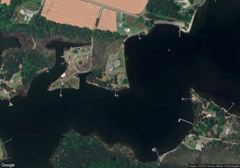
Map
Nearby Homes
- TBD Wood Rd
- 162 Youcomico Dr
- 0 Laurel Dr
- 000 Laurel Dr
- 761 Chownings Ferry Rd
- 2012 Millenbeck Rd
- 1 Bull Creek Dr
- 1020 Queenstown Rd
- 145 Millenbeck Rd
- 67 Lewis Ln
- 218 Pond Rd
- Lot 01 Deep Harbor Ln
- Lot74&75 River Rd
- 00 Cove Colony Rd
- TBD Cove Colony Rd
- 418 Courtney Rd
- Lot 6 Foxfield Ln
- 411 Cedar Pointe Dr
- 18 Courtney Rd
- 4 River Village Dr
- 127 Foster Ln
- 127 Foster Ln
- 64 Foster Ln
- 253 Ratcliffe Ln
- 229 Ratcliffe Ln
- 187 Ratcliffe Ln
- 00 Bertrand Place
- 371 Creekwater Dr
- 350 Creekwater Dr
- 259 Wood Rd
- 260 Wood Rd
- 118 Youcomico Dr
- 72 Youcomico Dr
- 13126 River Rd
- 483 Creekwater Dr
- 4 Youcomico Dr
- 18 Youcomico Dr
- 6 Youcomico Dr
- 12 Youcomico Dr
- 188 Youcomico Dr