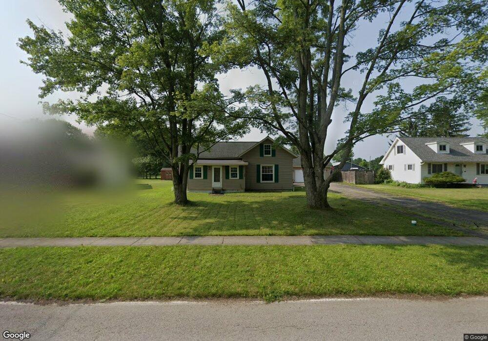
228 Glendale St Lagrange, OH 44050
Estimated Value: $149,000 - $172,458
3
Beds
1
Bath
1,204
Sq Ft
$136/Sq Ft
Est. Value
About This Home
This home is located at 228 Glendale St, Lagrange, OH 44050 and is currently estimated at $163,615, approximately $135 per square foot. 228 Glendale St is a home located in Lorain County with nearby schools including Keystone Elementary School, Keystone Middle School, and Keystone High School.
Ownership History
Date
Name
Owned For
Owner Type
Purchase Details
Closed on
Mar 21, 2001
Sold by
Lasure Donald H and Lasure Denise C
Bought by
Hassel Nicholas M
Current Estimated Value
Home Financials for this Owner
Home Financials are based on the most recent Mortgage that was taken out on this home.
Original Mortgage
$83,000
Interest Rate
7.03%
Create a Home Valuation Report for This Property
The Home Valuation Report is an in-depth analysis detailing your home's value as well as a comparison with similar homes in the area
Home Values in the Area
Average Home Value in this Area
Purchase History
| Date | Buyer | Sale Price | Title Company |
|---|---|---|---|
| Hassel Nicholas M | $128,000 | Lorain County Title Co Inc |
Source: Public Records
Mortgage History
| Date | Status | Borrower | Loan Amount |
|---|---|---|---|
| Previous Owner | Hassel Nicholas M | $83,000 |
Source: Public Records
Tax History Compared to Growth
Tax History
| Year | Tax Paid | Tax Assessment Tax Assessment Total Assessment is a certain percentage of the fair market value that is determined by local assessors to be the total taxable value of land and additions on the property. | Land | Improvement |
|---|---|---|---|---|
| 2024 | $1,843 | $43,491 | $9,429 | $34,062 |
| 2023 | $2,270 | $44,730 | $10,108 | $34,622 |
| 2022 | $2,255 | $44,730 | $10,108 | $34,622 |
| 2021 | $2,256 | $44,730 | $10,110 | $34,620 |
| 2020 | $2,058 | $36,370 | $8,220 | $28,150 |
| 2019 | $2,047 | $36,370 | $8,220 | $28,150 |
| 2018 | $1,975 | $36,370 | $8,220 | $28,150 |
| 2017 | $2,304 | $39,710 | $6,270 | $33,440 |
| 2016 | $2,288 | $39,710 | $6,270 | $33,440 |
| 2015 | $2,285 | $39,710 | $6,270 | $33,440 |
| 2014 | $1,777 | $34,830 | $5,500 | $29,330 |
| 2013 | $1,723 | $34,990 | $5,500 | $29,490 |
Source: Public Records
Map
Nearby Homes
- 110 Railroad St
- 302 N Center St
- 194 Railroad St
- 433 N Center St
- 171 Keywood Blvd
- 0 Dill Ct Unit 5072837
- 516 Appomattox Ct
- 128 Harvest Ct
- 548 William St
- 607 Rundle St
- 614 Rundle St
- 630 Rundle St
- 756 N Center St
- 808 Buckingham Dr
- 40725 Biggs Rd
- 800 Buckingham Dr
- 822 Robinson Dr
- 829 Robinson Dr
- 831 Robinson Dr
- 19045 Whitehead Rd
- 220 Glendale St
- 230 Glendale St
- 201 Pleasant St
- 205 Pleasant St
- 225 Glendale St
- 250 Glendale St
- 205 Glendale St
- 275 Glendale St
- 207 Pleasant St
- 209 Pleasant St
- 117 Pleasant St
- 279 Glendale St
- 211 Pleasant St
- 280 Glendale St
- 205 S Center St
- 202 Pleasant St
- 213 Pleasant St
- 206 Pleasant St
- 288 Glendale St
- 217 Pleasant St