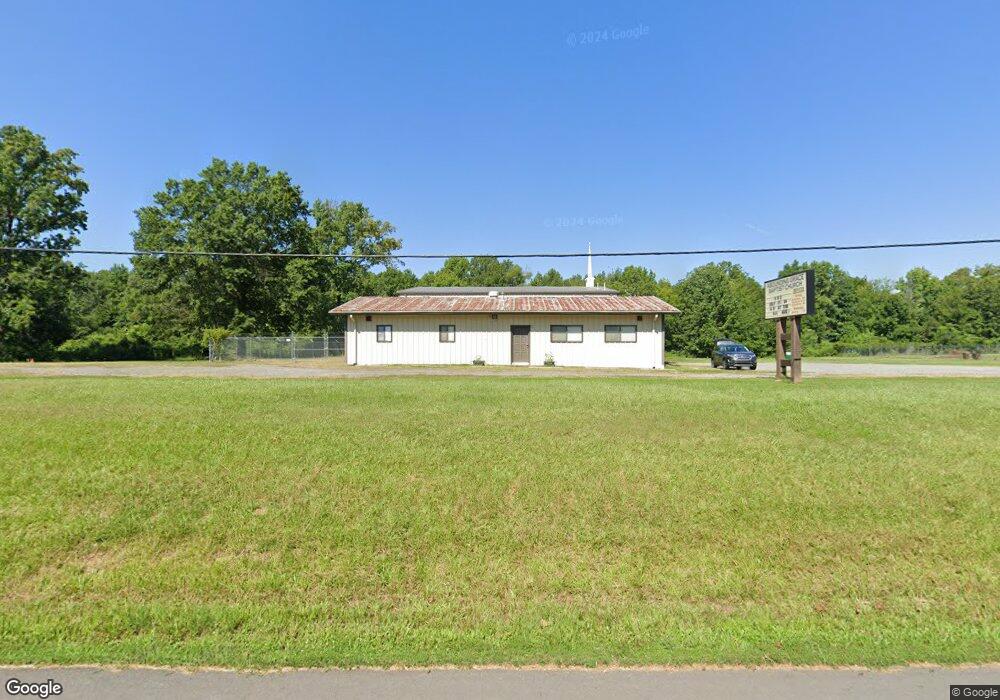
228 Highway 365 Conway, AR 72032
Estimated Value: $556,440
--
Bed
2
Baths
6,600
Sq Ft
$84/Sq Ft
Est. Value
About This Home
This home is located at 228 Highway 365, Conway, AR 72032 and is currently estimated at $556,440, approximately $84 per square foot. 228 Highway 365 is a home located in Faulkner County with nearby schools including Carolyn Lewis Elementary School, Conway Junior High School, and Carl Stuart Middle School.
Ownership History
Date
Name
Owned For
Owner Type
Purchase Details
Closed on
Sep 1, 2020
Sold by
Simon Gary W and Simon Michelle L
Bought by
Abounding Grace Baptist Church
Current Estimated Value
Home Financials for this Owner
Home Financials are based on the most recent Mortgage that was taken out on this home.
Original Mortgage
$331,500
Interest Rate
2.9%
Mortgage Type
Commercial
Purchase Details
Closed on
Aug 23, 2004
Bought by
Redempt# 199069
Purchase Details
Closed on
Jul 7, 2004
Bought by
Simon
Purchase Details
Closed on
Feb 24, 2000
Bought by
Jones Plumbing
Purchase Details
Closed on
May 27, 1994
Bought by
Cindy Brannon
Create a Home Valuation Report for This Property
The Home Valuation Report is an in-depth analysis detailing your home's value as well as a comparison with similar homes in the area
Home Values in the Area
Average Home Value in this Area
Purchase History
| Date | Buyer | Sale Price | Title Company |
|---|---|---|---|
| Abounding Grace Baptist Church | $390,000 | None Available | |
| Redempt# 199069 | -- | -- | |
| Simon | $132,100 | -- | |
| Jones Plumbing | $150,000 | -- | |
| Cindy Brannon | -- | -- |
Source: Public Records
Mortgage History
| Date | Status | Borrower | Loan Amount |
|---|---|---|---|
| Closed | Abounding Grace Baptist Church | $331,500 |
Source: Public Records
Tax History Compared to Growth
Tax History
| Year | Tax Paid | Tax Assessment Tax Assessment Total Assessment is a certain percentage of the fair market value that is determined by local assessors to be the total taxable value of land and additions on the property. | Land | Improvement |
|---|---|---|---|---|
| 2025 | -- | -- | -- | -- |
| 2024 | $135 | $0 | $0 | $0 |
| 2023 | $135 | $0 | $0 | $0 |
| 2022 | $135 | $0 | $0 | $0 |
| 2021 | $1,439 | $0 | $0 | $0 |
| 2020 | $1,439 | $29,930 | $4,720 | $25,210 |
| 2019 | $1,439 | $29,930 | $4,720 | $25,210 |
| 2018 | $1,439 | $29,930 | $4,720 | $25,210 |
| 2017 | $1,439 | $29,930 | $4,720 | $25,210 |
| 2016 | $1,439 | $29,930 | $4,720 | $25,210 |
| 2015 | $1,477 | $31,840 | $4,730 | $27,110 |
| 2014 | $1,527 | $31,840 | $4,730 | $27,110 |
Source: Public Records
Map
Nearby Homes
- 60 Wilhelmina Cove
- 63 Wilhelmina Cove Rd
- 260 Sturgis Rd
- 38 Windwood Loop
- 237 Sturgis Rd
- 6 Round Mountain Rd
- 5 Round Mountain Rd
- lot 7 Shady Point Dr
- 30 Round Mountain Rd
- 43 Lawrence Landing Rd
- 380 Sturgis Rd
- 12 Dunbar Rd
- 000 Bream Nest Rd
- 256 Caney Creek Rd
- 25 Fred Ln
- 104 Lawrence Landing Rd
- 414A Sturgis Rd
- 5 Thomas Ln
- 114 Lawrence Landing Rd
- 00 Kaps Landing Rd