228 John Avery Rd Calhoun, LA 71225
Estimated Value: $174,000 - $222,000
3
Beds
2
Baths
2,454
Sq Ft
$84/Sq Ft
Est. Value
About This Home
This home is located at 228 John Avery Rd, Calhoun, LA 71225 and is currently estimated at $206,080, approximately $83 per square foot. 228 John Avery Rd is a home located in Ouachita Parish with nearby schools including Calhoun Elementary School, Central Elementary School, and Calhoun Middle School.
Ownership History
Date
Name
Owned For
Owner Type
Purchase Details
Closed on
Aug 7, 2006
Sold by
Chapman Richard Allen and Chapman Dixie Lynn
Bought by
Grant Richard Dale
Current Estimated Value
Home Financials for this Owner
Home Financials are based on the most recent Mortgage that was taken out on this home.
Original Mortgage
$115,000
Outstanding Balance
$67,225
Interest Rate
6.66%
Mortgage Type
Unknown
Estimated Equity
$138,855
Create a Home Valuation Report for This Property
The Home Valuation Report is an in-depth analysis detailing your home's value as well as a comparison with similar homes in the area
Purchase History
| Date | Buyer | Sale Price | Title Company |
|---|---|---|---|
| Grant Richard Dale | $115,000 | None Available |
Source: Public Records
Mortgage History
| Date | Status | Borrower | Loan Amount |
|---|---|---|---|
| Open | Grant Richard Dale | $115,000 |
Source: Public Records
Tax History
| Year | Tax Paid | Tax Assessment Tax Assessment Total Assessment is a certain percentage of the fair market value that is determined by local assessors to be the total taxable value of land and additions on the property. | Land | Improvement |
|---|---|---|---|---|
| 2025 | $1,048 | $11,500 | $1,840 | $9,660 |
| 2024 | $1,048 | $11,500 | $1,840 | $9,660 |
| 2023 | $375 | $11,500 | $1,840 | $9,660 |
| 2022 | $1,020 | $11,500 | $1,840 | $9,660 |
| 2021 | $1,033 | $11,500 | $1,840 | $9,660 |
| 2020 | $1,033 | $11,500 | $1,840 | $9,660 |
| 2019 | $1,030 | $11,500 | $1,840 | $9,660 |
| 2018 | $358 | $11,500 | $1,840 | $9,660 |
| 2017 | $1,030 | $11,500 | $1,840 | $9,660 |
| 2016 | $1,030 | $11,500 | $1,840 | $9,660 |
| 2015 | $357 | $11,500 | $1,840 | $9,660 |
| 2014 | $357 | $11,500 | $1,840 | $9,660 |
| 2013 | $356 | $11,500 | $1,840 | $9,660 |
Source: Public Records
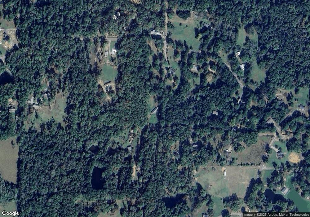
Map
Nearby Homes
- 000 J T Griggs Rd Unit 454 J T Griggs Road
- 00 J T Griggs Rd Unit 454 J T Griggs Road
- 454 J T Griggs Rd
- 0 J T Griggs Rd Unit 454 J T Griggs Road
- 370 J T Griggs Rd
- 159 Chapel Ln
- 103 J T Griggs Rd
- 205 Chapel Hill Place
- 606 Hodge Watson Rd
- 000 Strozier Rd
- 145 Preston Rd
- 144 Patricks Cove
- 224 Mountain Rd
- 171 Chimney Hill Rd
- 101 Greenbriar Dr
- 381 Three Lakes Rd
- 106 Mohawk Cir
- 0 Camp Rd Unit 206113
- 131 Three Lakes Rd
- 110 Fox Run Unit 110 Fox run
- 255 John Avery Rd
- 185 John Avery Rd
- 1382 Slocum Rd
- 1400 Slocum Rd
- 1292 Slocum Rd
- 243 John Avery Rd
- 1448 Slocum Rd
- 1317 Slocum Rd
- 521 J T Griggs Rd
- 1389 Slocum Rd
- 1289 Slocum Rd
- 1427 Slocum Rd
- 1401 Slocum Rd
- 168 Gus Ledbetter Rd
- 451 J T Griggs Rd
- 1204 Slocum Rd
- 1222 Slocum Rd
- 575 J T Griggs Rd
- 1469 Slocum Rd
- 153 Lake Forest Dr
Your Personal Tour Guide
Ask me questions while you tour the home.