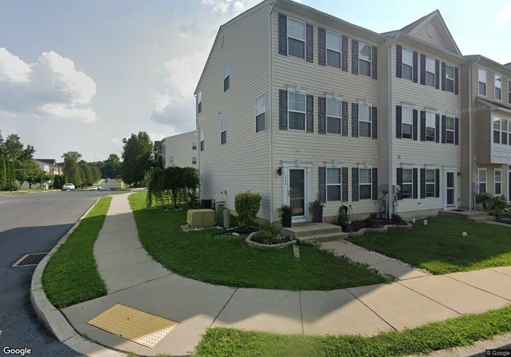
228 Kentshire Dr Lancaster, PA 17603
Meadia Heights NeighborhoodEstimated Value: $282,000 - $298,000
3
Beds
3
Baths
1,400
Sq Ft
$206/Sq Ft
Est. Value
About This Home
This home is located at 228 Kentshire Dr, Lancaster, PA 17603 and is currently estimated at $287,769, approximately $205 per square foot. 228 Kentshire Dr is a home located in Lancaster County with nearby schools including Elizabeth R Martin Elementary School, Wheatland Middle School, and McCaskey High School.
Ownership History
Date
Name
Owned For
Owner Type
Purchase Details
Closed on
Feb 20, 2009
Sold by
Us Home Corporation
Bought by
Rivera Margarita
Current Estimated Value
Home Financials for this Owner
Home Financials are based on the most recent Mortgage that was taken out on this home.
Original Mortgage
$140,364
Outstanding Balance
$88,917
Interest Rate
5.14%
Mortgage Type
FHA
Estimated Equity
$198,852
Create a Home Valuation Report for This Property
The Home Valuation Report is an in-depth analysis detailing your home's value as well as a comparison with similar homes in the area
Home Values in the Area
Average Home Value in this Area
Purchase History
| Date | Buyer | Sale Price | Title Company |
|---|---|---|---|
| Rivera Margarita | $142,990 | None Available |
Source: Public Records
Mortgage History
| Date | Status | Borrower | Loan Amount |
|---|---|---|---|
| Open | Rivera Margarita | $140,364 |
Source: Public Records
Tax History Compared to Growth
Tax History
| Year | Tax Paid | Tax Assessment Tax Assessment Total Assessment is a certain percentage of the fair market value that is determined by local assessors to be the total taxable value of land and additions on the property. | Land | Improvement |
|---|---|---|---|---|
| 2025 | $3,939 | $136,600 | $27,200 | $109,400 |
| 2024 | $3,939 | $136,600 | $27,200 | $109,400 |
| 2023 | $3,849 | $136,600 | $27,200 | $109,400 |
| 2022 | $3,619 | $136,600 | $27,200 | $109,400 |
| 2021 | $3,510 | $136,600 | $27,200 | $109,400 |
| 2020 | $3,510 | $136,600 | $27,200 | $109,400 |
| 2019 | $3,435 | $136,600 | $27,200 | $109,400 |
| 2018 | $2,476 | $136,600 | $27,200 | $109,400 |
| 2017 | $3,541 | $108,300 | $16,900 | $91,400 |
| 2016 | $3,476 | $108,300 | $16,900 | $91,400 |
| 2015 | $469 | $108,300 | $16,900 | $91,400 |
| 2014 | $2,462 | $108,300 | $16,900 | $91,400 |
Source: Public Records
Map
Nearby Homes
- 204 Pennshire Dr
- 202 Pennshire Dr
- 986 Sterling Place
- 884 Sterling Place
- 11 Clarendon Dr
- 825 S Pearl St
- 1014 Willow Street Pike
- 1014 Willow Street Pike Unit 8
- 1635 Wabank Rd
- 121 Hillard
- 118 Hillard
- 110 Hillard
- 112 Hayes & Conestoga Aves
- 840 Hilton Dr
- 122 Hayes Ave
- 848 Garnet Ave
- 927 Rolridge Ave
- 1052 Union St
- 56 Greenwood Ave
- 1233 Fremont St
- 226 Kentshire Dr
- 224 Kentshire Dr
- 222 Kentshire Dr
- 230 Kentshire Dr
- 220 Kentshire Dr
- 416 Dickens Dr
- 232 Kentshire Dr
- 234 Kentshire Dr
- 414 Dickens Dr
- 414 Dickens Dr Unit 234
- 236 Kentshire Dr
- 412 Dickens Dr
- 417 Dickens Dr
- 216 Kentshire Dr
- 238 Kentshire Dr
- 415 Dickens Dr
- 410 Dickens Dr
- 214 Kentshire Dr
- 413 Dickens Dr
- 413 Dickens Dr Unit 1180