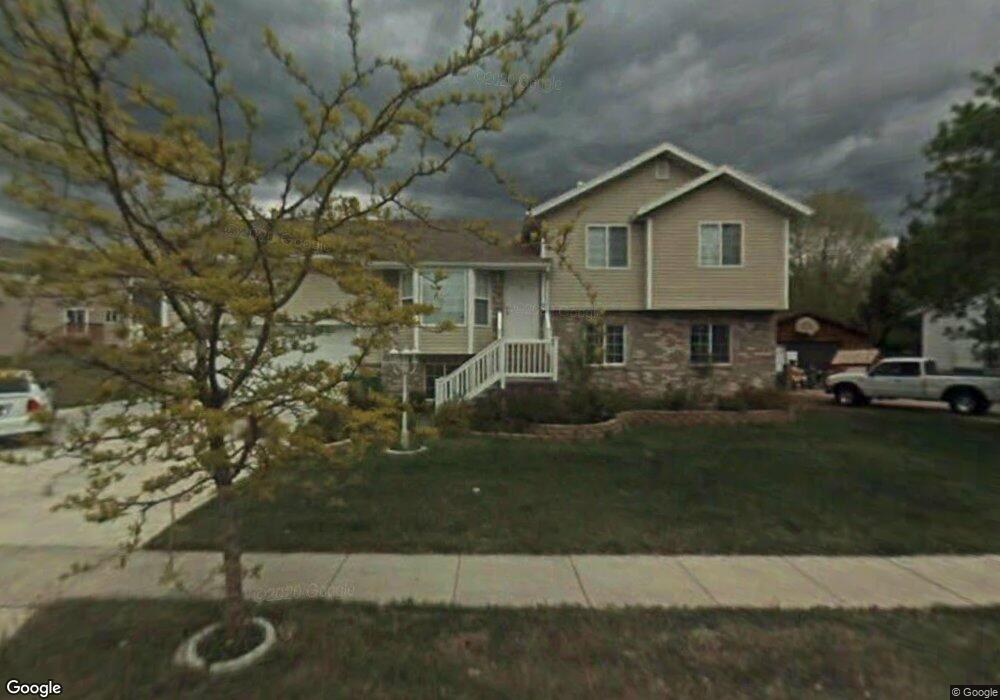
228 King St Layton, UT 84041
Estimated Value: $435,000 - $509,000
3
Beds
1
Bath
2,039
Sq Ft
$234/Sq Ft
Est. Value
About This Home
This home is located at 228 King St, Layton, UT 84041 and is currently estimated at $477,169, approximately $234 per square foot. 228 King St is a home located in Davis County with nearby schools including Layton Elementary School, Fairfield Junior High School, and Layton High School.
Ownership History
Date
Name
Owned For
Owner Type
Purchase Details
Closed on
Jul 16, 2002
Sold by
Scenic Development Inc
Bought by
Marquardt Christopher M and Marquardt Analisa S
Current Estimated Value
Home Financials for this Owner
Home Financials are based on the most recent Mortgage that was taken out on this home.
Original Mortgage
$147,900
Outstanding Balance
$60,171
Interest Rate
6.69%
Mortgage Type
VA
Estimated Equity
$416,998
Create a Home Valuation Report for This Property
The Home Valuation Report is an in-depth analysis detailing your home's value as well as a comparison with similar homes in the area
Home Values in the Area
Average Home Value in this Area
Purchase History
| Date | Buyer | Sale Price | Title Company |
|---|---|---|---|
| Marquardt Christopher M | -- | Bonneville Title Company Inc |
Source: Public Records
Mortgage History
| Date | Status | Borrower | Loan Amount |
|---|---|---|---|
| Open | Marquardt Christopher M | $147,900 |
Source: Public Records
Tax History
| Year | Tax Paid | Tax Assessment Tax Assessment Total Assessment is a certain percentage of the fair market value that is determined by local assessors to be the total taxable value of land and additions on the property. | Land | Improvement |
|---|---|---|---|---|
| 2025 | $2,243 | $235,400 | $114,173 | $121,227 |
| 2024 | $2,174 | $229,899 | $125,611 | $104,288 |
| 2023 | $2,039 | $209,000 | $69,117 | $139,882 |
| 2022 | $2,163 | $398,000 | $141,206 | $256,794 |
| 2021 | $2,054 | $310,000 | $116,514 | $193,486 |
| 2020 | $1,858 | $269,000 | $98,253 | $170,747 |
| 2019 | $1,826 | $259,000 | $100,366 | $158,634 |
| 2018 | $1,650 | $235,000 | $88,078 | $146,922 |
| 2016 | $1,458 | $107,085 | $34,829 | $72,256 |
| 2015 | $1,449 | $101,035 | $34,829 | $66,206 |
| 2014 | $1,306 | $93,119 | $34,829 | $58,290 |
| 2013 | -- | $94,818 | $28,952 | $65,866 |
Source: Public Records
Map
Nearby Homes
- 630 W 100 N
- 270 N 630 W
- 771 W Gentile St
- 418 W Gentile St
- 361 W 50 N
- 526 King St Unit 2
- 24 Grover St
- 355 W Gentile St
- 339 W 25 N Unit 6
- 933 W Gentile St
- 383 S 950 W
- 1382 W 250 N
- 34 E 525 N
- 1113 W Angel Hill Ct
- 1677 N 1600 W Unit 134
- 189 S Main St Unit 76
- 189 S Main St Unit 21
- 298 Amber Ln
- 316 Amber Ln
- 1115 W 550 S
Your Personal Tour Guide
Ask me questions while you tour the home.