228 Locust Dale Rd Front Royal, VA 22630
Estimated Value: $623,000 - $891,123
4
Beds
5
Baths
2,931
Sq Ft
$269/Sq Ft
Est. Value
About This Home
This home is located at 228 Locust Dale Rd, Front Royal, VA 22630 and is currently estimated at $787,531, approximately $268 per square foot. 228 Locust Dale Rd is a home located in Warren County with nearby schools including Hilda J. Barbour Elementary School, Warren County High School, and Mountain Laurel Montessori School.
Ownership History
Date
Name
Owned For
Owner Type
Purchase Details
Closed on
Nov 21, 2024
Sold by
Pamela Kanal Black Llc
Bought by
Black Pamela Kanal and Black Corey Brandon
Current Estimated Value
Home Financials for this Owner
Home Financials are based on the most recent Mortgage that was taken out on this home.
Original Mortgage
$1,700,000
Outstanding Balance
$1,686,372
Interest Rate
7.25%
Mortgage Type
Construction
Estimated Equity
-$898,841
Purchase Details
Closed on
May 2, 2018
Sold by
Black Pamela Kanal
Bought by
Pamela Kanal Black Llc
Purchase Details
Closed on
Mar 1, 2018
Sold by
Kanal Nirmal
Bought by
Kanal Nirmal
Create a Home Valuation Report for This Property
The Home Valuation Report is an in-depth analysis detailing your home's value as well as a comparison with similar homes in the area
Home Values in the Area
Average Home Value in this Area
Purchase History
| Date | Buyer | Sale Price | Title Company |
|---|---|---|---|
| Black Pamela Kanal | -- | None Listed On Document | |
| Black Pamela Kanal | -- | None Listed On Document | |
| Pamela Kanal Black Llc | -- | None Available | |
| Kanal Nirmal | -- | None Available |
Source: Public Records
Mortgage History
| Date | Status | Borrower | Loan Amount |
|---|---|---|---|
| Open | Black Pamela Kanal | $1,700,000 | |
| Closed | Black Pamela Kanal | $1,700,000 |
Source: Public Records
Tax History Compared to Growth
Tax History
| Year | Tax Paid | Tax Assessment Tax Assessment Total Assessment is a certain percentage of the fair market value that is determined by local assessors to be the total taxable value of land and additions on the property. | Land | Improvement |
|---|---|---|---|---|
| 2025 | $3,948 | $824,300 | $250,500 | $573,800 |
| 2024 | $3,555 | $670,800 | $217,300 | $453,500 |
| 2023 | $3,287 | $670,800 | $217,300 | $453,500 |
| 2022 | $3,508 | $535,600 | $206,800 | $328,800 |
| 2021 | $696 | $535,600 | $206,800 | $328,800 |
| 2020 | $3,508 | $535,600 | $206,800 | $328,800 |
| 2019 | $3,508 | $535,600 | $206,800 | $328,800 |
| 2018 | $3,559 | $539,200 | $206,800 | $332,400 |
| 2017 | $3,505 | $539,200 | $206,800 | $332,400 |
| 2016 | $3,343 | $539,200 | $206,800 | $332,400 |
| 2015 | -- | $539,200 | $206,800 | $332,400 |
| 2014 | -- | $575,900 | $246,000 | $329,900 |
Source: Public Records
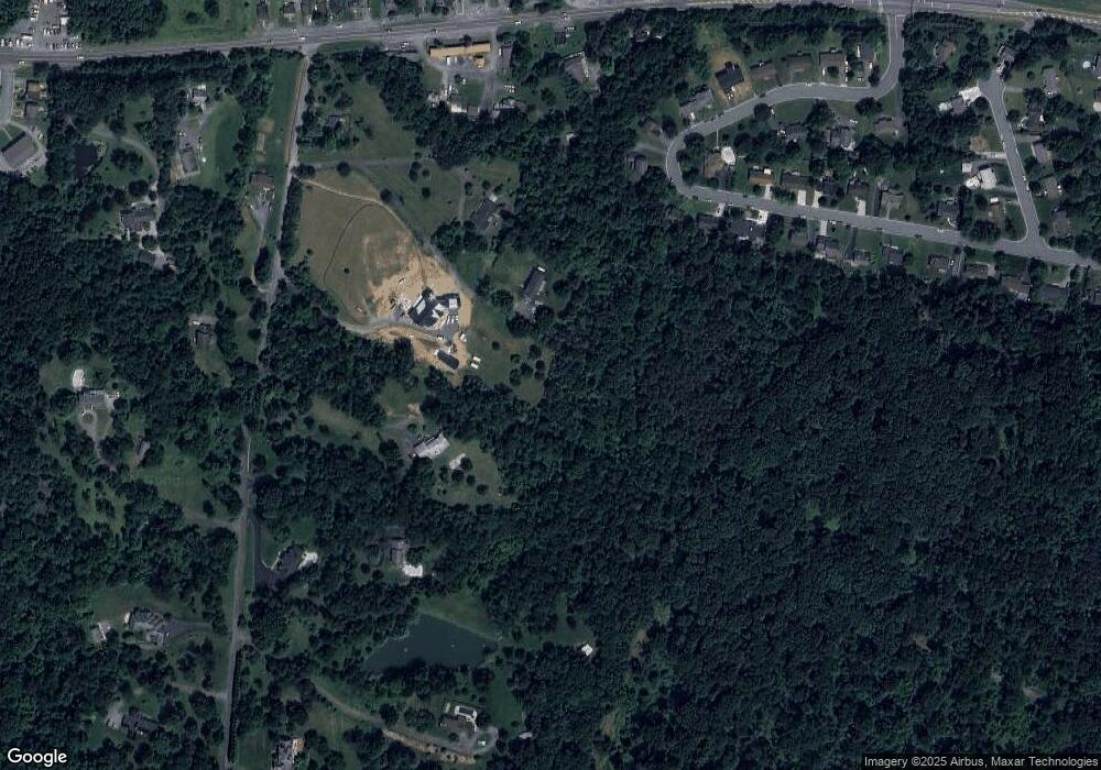
Map
Nearby Homes
- 1603 W Commonwealth Dr
- 1461 Linden St
- 31 Westminster Dr
- 1422 Canterbury Rd
- 12 Hillvue St
- 152 Richmond Rd
- 0 Hillandale Rd Unit VAWR2010962
- 31 Hillandale Rd
- 186 Hillandale Rd
- 989 S Marshall St
- 1421 Pickett Ct
- 12 Morain St
- 1144 Happy Ridge Dr
- 1143 Happy Ridge Dr
- 1130 Happy Ridge Dr
- 512 Short St
- Lot 3F Braxton Rd
- 349 Ritenour St
- 0 Wapping Farm #Lot 6 Rd Unit VAWR2012042
- 1047 Goodview Dr
- 220 Locust Dale Rd
- 208 Locust Dale Rd
- 240 Locust Dale Rd
- 1437 John Marshall Hwy
- 1435 John Marshall Hwy
- 120 Locust Dale Rd
- 1449 John Marshall Hwy
- 1639 W Commonwealth Dr
- 121 Locust Dale Rd
- 1659 W Commonwealth Dr
- 123 Locust Dale Rd
- 1663 W Commonwealth Dr
- 1433 John Marshall Hwy
- 1443 John Marshall Hwy Unit 3
- 1443 John Marshall Hwy Unit 5
- 1443 John Marshall Hwy
- 1443 John Marshall Hwy Unit 2
- 1443 John Marshall Hwy Unit 6
- 1451 John Marshall Hwy
- 1637 W Commonwealth Dr