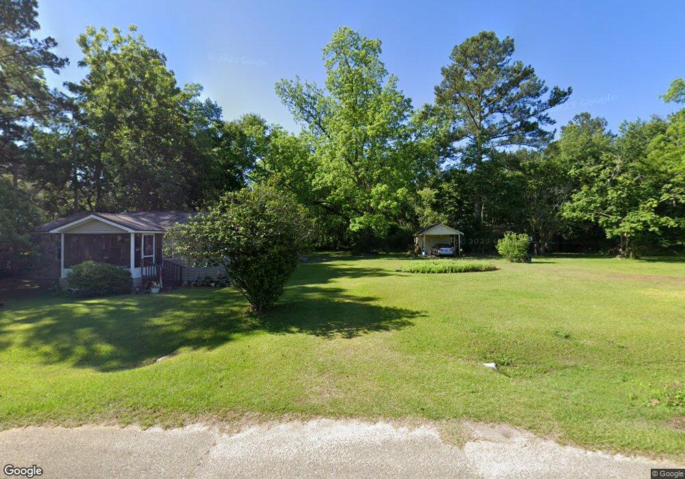
228 Lunsford St Coolidge, GA 31738
Estimated Value: $95,171 - $117,000
--
Bed
1
Bath
1,416
Sq Ft
$75/Sq Ft
Est. Value
About This Home
This home is located at 228 Lunsford St, Coolidge, GA 31738 and is currently estimated at $106,543, approximately $75 per square foot. 228 Lunsford St is a home located in Thomas County with nearby schools including Hand in Hand Primary School, Cross Creek Elementary School, and Garrison-Pilcher Elementary School.
Ownership History
Date
Name
Owned For
Owner Type
Purchase Details
Closed on
Aug 8, 2019
Sold by
Hughes Linda S
Bought by
Shiver Shonya H
Current Estimated Value
Purchase Details
Closed on
Feb 11, 2019
Sold by
Hughes Linda S
Bought by
Barnes Frank Addison
Purchase Details
Closed on
Dec 31, 2003
Sold by
Hughes Linda S
Bought by
Hughes Linda S
Purchase Details
Closed on
Jul 1, 2003
Sold by
Hughes Alvin R
Bought by
Hughes Linda S
Purchase Details
Closed on
Apr 20, 1992
Sold by
Hughes A B
Bought by
Hughes Alvin R
Purchase Details
Closed on
Jun 6, 1955
Sold by
Hughes A B
Bought by
Hughes A B
Create a Home Valuation Report for This Property
The Home Valuation Report is an in-depth analysis detailing your home's value as well as a comparison with similar homes in the area
Home Values in the Area
Average Home Value in this Area
Purchase History
| Date | Buyer | Sale Price | Title Company |
|---|---|---|---|
| Shiver Shonya H | -- | -- | |
| Barnes Frank Addison | $7,000 | -- | |
| Hughes Linda S | -- | -- | |
| Hughes Linda S | -- | -- | |
| Hughes Alvin R | -- | -- | |
| Hughes A B | -- | -- |
Source: Public Records
Tax History Compared to Growth
Tax History
| Year | Tax Paid | Tax Assessment Tax Assessment Total Assessment is a certain percentage of the fair market value that is determined by local assessors to be the total taxable value of land and additions on the property. | Land | Improvement |
|---|---|---|---|---|
| 2024 | $503 | $26,066 | $7,084 | $18,982 |
| 2023 | $449 | $23,936 | $5,667 | $18,269 |
| 2022 | $450 | $21,903 | $5,667 | $16,236 |
| 2021 | $438 | $19,556 | $4,928 | $14,628 |
| 2020 | $442 | $19,273 | $4,928 | $14,345 |
| 2019 | $438 | $18,954 | $4,928 | $14,026 |
| 2018 | $516 | $19,320 | $4,928 | $14,392 |
| 2017 | $516 | $19,525 | $4,928 | $14,597 |
| 2016 | $485 | $19,988 | $4,928 | $15,060 |
| 2015 | $568 | $22,774 | $4,928 | $17,846 |
| 2014 | -- | $22,518 | $4,928 | $17,590 |
| 2013 | -- | $0 | $0 | $0 |
Source: Public Records
Map
Nearby Homes
- 186 Lunsford St
- 168 Lunsford St
- 205 Lunsford St
- 133 Lunsford St
- 28 Davis St
- 244 Lunsford St
- 18 Airline Rd
- 108 Lunsford St
- 97 Lunsford St
- 0000 Airline Road (23 Acres)
- 1594 Merrillville Rd
- 0 Airline Rd
- 20 Bibb
- 1539 Merrillville Rd
- 350 Lunsford St
- 0 Dykes Rd
- 136 Dykes Rd
- 357 Lunsford St
- 1319 Merrillville Rd
- 214 Airline Rd