228 Michael Ln Moncks Corner, SC 29461
Estimated Value: $628,000 - $707,904
3
Beds
2
Baths
2,905
Sq Ft
$232/Sq Ft
Est. Value
About This Home
This home is located at 228 Michael Ln, Moncks Corner, SC 29461 and is currently estimated at $674,226, approximately $232 per square foot. 228 Michael Ln is a home located in Berkeley County with nearby schools including Whitesville Elementary School, Berkeley Middle School, and Berkeley High School.
Ownership History
Date
Name
Owned For
Owner Type
Purchase Details
Closed on
Mar 5, 2021
Sold by
Linton James
Bought by
Mack Patricia L
Current Estimated Value
Purchase Details
Closed on
Apr 23, 2020
Sold by
King Billy C and King Kimberly M
Bought by
Linton James W and Mack Patricia L
Home Financials for this Owner
Home Financials are based on the most recent Mortgage that was taken out on this home.
Original Mortgage
$384,000
Interest Rate
3.2%
Mortgage Type
New Conventional
Purchase Details
Closed on
Jan 18, 2018
Sold by
King Billy C
Bought by
High Point Ventures Llc
Purchase Details
Closed on
Jun 10, 2013
Sold by
King Billy C
Bought by
King Billy C and King Kimberly M
Create a Home Valuation Report for This Property
The Home Valuation Report is an in-depth analysis detailing your home's value as well as a comparison with similar homes in the area
Purchase History
| Date | Buyer | Sale Price | Title Company |
|---|---|---|---|
| Mack Patricia L | -- | Southeastern Title Co Llc | |
| Linton James W | $480,000 | Southeastern Title Company | |
| High Point Ventures Llc | $175,786 | None Available | |
| King Ii Billy C | -- | None Available | |
| King Billy C | -- | -- |
Source: Public Records
Mortgage History
| Date | Status | Borrower | Loan Amount |
|---|---|---|---|
| Previous Owner | Linton James W | $384,000 |
Source: Public Records
Tax History
| Year | Tax Paid | Tax Assessment Tax Assessment Total Assessment is a certain percentage of the fair market value that is determined by local assessors to be the total taxable value of land and additions on the property. | Land | Improvement |
|---|---|---|---|---|
| 2025 | $2,283 | $552,575 | $140,767 | $411,808 |
| 2024 | $2,204 | $22,103 | $5,631 | $16,472 |
| 2023 | $2,204 | $22,103 | $5,631 | $16,472 |
| 2022 | $2,215 | $19,220 | $4,504 | $14,716 |
| 2021 | $7,824 | $14,700 | $2,280 | $12,420 |
| 2020 | $1,843 | $14,700 | $2,280 | $12,420 |
| 2019 | $6,073 | $14,700 | $2,280 | $12,420 |
| 2018 | $1,703 | $13,048 | $1,760 | $11,288 |
| 2017 | $1,554 | $13,048 | $1,760 | $11,288 |
| 2016 | $1,594 | $13,050 | $1,760 | $11,290 |
| 2015 | $1,461 | $13,050 | $1,760 | $11,290 |
| 2014 | $4,972 | $19,410 | $2,640 | $16,770 |
| 2013 | -- | $19,410 | $2,640 | $16,770 |
Source: Public Records
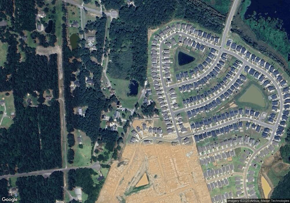
Map
Nearby Homes
- 453 Eagleview Dr
- 455 Eagleview Dr
- 468 Eagleview Dr
- 428 Eagleview Dr
- 728 Sportsman Rd
- 117 Forest Springs Rd
- 200 Foxbank Plantation Blvd
- 335 Hillman Trail Dr
- 677 Black Pine Rd
- 519 Eagleview Dr
- 687 Black Pine Rd
- 575 Pendleton Dr
- 240 Groomsville Rd
- 131 Canterhill Ln
- 356 Herty Park Dr Unit 77
- 622 Pendleton Dr
- 352 Herty Park Dr
- 865 Recess Point Dr 25 Dr
- 861 Recess Point Dr
- 129 Ancestry Ln
- 454 Eagleview Dr
- 456 Eagleview Dr
- 452 Eagleview Dr
- 458 Eagleview Dr
- 460 Eagleview Dr
- 450 Eagleview Dr
- 462 Eagleview Dr
- 448 Eagleview Dr
- 464 Eagleview Dr
- 6 Eagleview Dr
- 7 Eagleview Dr
- 5 Eagleview Dr
- 2 Eagleview Dr
- 1 Eagleview Dr
- 446 Eagleview Dr
- 466 Eagleview Dr
- 229 Michael Ln
- 223 Michael Ln
- 444 Eagleview Dr
- 459 Eagleview Dr
Your Personal Tour Guide
Ask me questions while you tour the home.