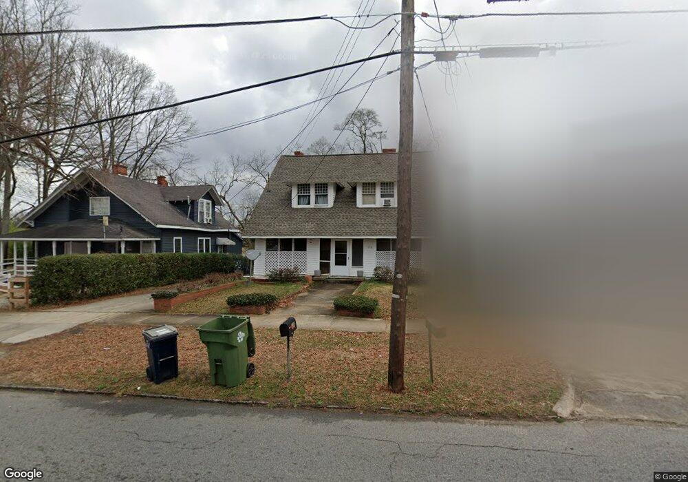
228 N 13th St Griffin, GA 30223
Spalding County NeighborhoodEstimated Value: $115,000 - $184,000
4
Beds
2
Baths
1,547
Sq Ft
$94/Sq Ft
Est. Value
About This Home
This home is located at 228 N 13th St, Griffin, GA 30223 and is currently estimated at $145,570, approximately $94 per square foot. 228 N 13th St is a home located in Spalding County with nearby schools including Atkinson Elementary School, Cowan Road Middle School, and Griffin High School.
Ownership History
Date
Name
Owned For
Owner Type
Purchase Details
Closed on
Jan 3, 2023
Sold by
Marsh Rupert H
Bought by
The Houston Grp Llc
Current Estimated Value
Purchase Details
Closed on
May 31, 1984
Sold by
Toland Tom and Toland Jean A
Bought by
Marsh Rupert H and Marsh Janet M
Purchase Details
Closed on
Sep 1, 1966
Sold by
Anderson Louise B
Bought by
Toland Tom and Toland Jean A
Purchase Details
Closed on
Apr 11, 1963
Bought by
Anderson Louise B
Create a Home Valuation Report for This Property
The Home Valuation Report is an in-depth analysis detailing your home's value as well as a comparison with similar homes in the area
Home Values in the Area
Average Home Value in this Area
Purchase History
| Date | Buyer | Sale Price | Title Company |
|---|---|---|---|
| The Houston Grp Llc | $36,101 | -- | |
| Marsh Rupert H | $41,000 | -- | |
| Toland Tom | $8,300 | -- | |
| Anderson Louise B | $12,100 | -- |
Source: Public Records
Tax History
| Year | Tax Paid | Tax Assessment Tax Assessment Total Assessment is a certain percentage of the fair market value that is determined by local assessors to be the total taxable value of land and additions on the property. | Land | Improvement |
|---|---|---|---|---|
| 2025 | $1,388 | $36,352 | $4,480 | $31,872 |
| 2024 | $1,358 | $36,352 | $4,480 | $31,872 |
| 2023 | $1,388 | $23,344 | $4,480 | $18,864 |
| 2022 | $273 | $19,908 | $2,800 | $17,108 |
| 2021 | $193 | $16,470 | $2,800 | $13,670 |
| 2020 | $193 | $16,470 | $2,800 | $13,670 |
| 2019 | $174 | $15,576 | $2,800 | $12,776 |
| 2018 | $191 | $16,020 | $2,800 | $13,220 |
| 2017 | $186 | $16,020 | $2,800 | $13,220 |
| 2016 | $188 | $16,020 | $2,800 | $13,220 |
| 2015 | $191 | $16,020 | $2,800 | $13,220 |
| 2014 | $197 | $16,020 | $2,800 | $13,220 |
Source: Public Records
Map
Nearby Homes
- 711 W Broad St
- 332 N 14th St
- 116 N 14th St
- 830 Ray St
- 282.37 AC W Ellis Rd
- 200 AC W Ellis Rd
- 30 AC W Ellis Rd
- 525 W Quilly St
- 363 N 16th St
- 1025 W Broad St
- 417 N 16th St
- 915 W Poplar St
- 9TH S 9th St
- 1032 W Solomon St
- 224 W Tinsley St
- 441 W Cherry St
- 215 W Chappell St
- 418 N 9th St
- 312 Louise Ln Unit B
- 209 W Tinsley St
Your Personal Tour Guide
Ask me questions while you tour the home.