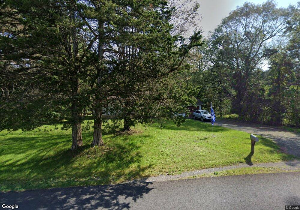
228 Queens Hwy Kerhonkson, NY 12446
Rochester NeighborhoodEstimated Value: $329,219 - $571,000
3
Beds
1
Bath
1,124
Sq Ft
$368/Sq Ft
Est. Value
About This Home
This home is located at 228 Queens Hwy, Kerhonkson, NY 12446 and is currently estimated at $414,055, approximately $368 per square foot. 228 Queens Hwy is a home located in Ulster County with nearby schools including Rondout Valley High School.
Ownership History
Date
Name
Owned For
Owner Type
Purchase Details
Closed on
Jun 13, 2006
Sold by
S B K Land Corp
Bought by
Dunn Donald H and Trone Kerstin M
Current Estimated Value
Purchase Details
Closed on
May 26, 2000
Sold by
Depuy George
Bought by
Jennings Elizabeth M and Jennings Bruce E
Home Financials for this Owner
Home Financials are based on the most recent Mortgage that was taken out on this home.
Original Mortgage
$84,956
Interest Rate
8.59%
Mortgage Type
FHA
Purchase Details
Closed on
Jun 9, 1998
Purchase Details
Closed on
Jun 4, 1998
Create a Home Valuation Report for This Property
The Home Valuation Report is an in-depth analysis detailing your home's value as well as a comparison with similar homes in the area
Home Values in the Area
Average Home Value in this Area
Purchase History
| Date | Buyer | Sale Price | Title Company |
|---|---|---|---|
| Dunn Donald H | $8,500 | None Available | |
| Jennings Elizabeth M | $85,000 | -- | |
| -- | -- | -- | |
| -- | -- | -- |
Source: Public Records
Mortgage History
| Date | Status | Borrower | Loan Amount |
|---|---|---|---|
| Previous Owner | Jennings Elizabeth M | $84,956 |
Source: Public Records
Tax History Compared to Growth
Tax History
| Year | Tax Paid | Tax Assessment Tax Assessment Total Assessment is a certain percentage of the fair market value that is determined by local assessors to be the total taxable value of land and additions on the property. | Land | Improvement |
|---|---|---|---|---|
| 2024 | $4,571 | $178,500 | $35,000 | $143,500 |
| 2023 | $4,532 | $178,500 | $35,000 | $143,500 |
| 2022 | $4,146 | $178,500 | $35,000 | $143,500 |
| 2021 | $4,146 | $178,500 | $35,000 | $143,500 |
| 2020 | $3,736 | $178,500 | $35,000 | $143,500 |
| 2019 | $3,607 | $170,000 | $35,000 | $135,000 |
| 2018 | $3,699 | $161,500 | $32,500 | $129,000 |
| 2017 | $3,579 | $161,500 | $32,500 | $129,000 |
| 2016 | $3,568 | $161,500 | $32,500 | $129,000 |
| 2015 | -- | $161,500 | $32,500 | $129,000 |
| 2014 | -- | $161,500 | $32,500 | $129,000 |
Source: Public Records
Map
Nearby Homes
- 45 Millbrook Ln
- 3 Rock Mountain Estates
- 11 Rock Mountain Estate
- 270 Mettacahonts Rd
- 363 Mettacahonts Rd Unit 5
- 116 Krum Rd
- 9 Hamilton Dr
- 19 Boice Mill Rd
- Tbd Boodle Hole Rd
- 17 Boice Mill Rd
- 87 Boice Mill Rd
- 161 Boice Mill Rd
- TBD Boice Mill Rd
- 30 & 40 Fawn Ln
- TBD Route 209
- 464 Mill Hook Rd
- 64 Dug Rd
- 34 Stonykill & Granite Rd
- 78 Beehive Rd
- 22 Samsonville Rd Unit 3