228 Ray Webb Ln Harrodsburg, KY 40330
Estimated Value: $213,000 - $305,000
2
Beds
2
Baths
1,012
Sq Ft
$261/Sq Ft
Est. Value
About This Home
This home is located at 228 Ray Webb Ln, Harrodsburg, KY 40330 and is currently estimated at $264,018, approximately $260 per square foot. 228 Ray Webb Ln is a home located in Mercer County with nearby schools including Mercer County Elementary School, Mercer County Intermediate School, and King Middle School.
Ownership History
Date
Name
Owned For
Owner Type
Purchase Details
Closed on
Oct 14, 2025
Sold by
Shuman Steve and Shuman Jeanette Lynn
Bought by
Mccarty Steven and Mccarty Alison
Current Estimated Value
Home Financials for this Owner
Home Financials are based on the most recent Mortgage that was taken out on this home.
Original Mortgage
$132,000
Outstanding Balance
$132,000
Interest Rate
6.5%
Mortgage Type
Construction
Estimated Equity
$132,018
Purchase Details
Closed on
Jun 20, 2017
Sold by
Webb Louise and Smith Jamie Lynn
Bought by
Shuman Steve
Create a Home Valuation Report for This Property
The Home Valuation Report is an in-depth analysis detailing your home's value as well as a comparison with similar homes in the area
Home Values in the Area
Average Home Value in this Area
Purchase History
| Date | Buyer | Sale Price | Title Company |
|---|---|---|---|
| Mccarty Steven | $165,000 | None Listed On Document | |
| Shuman Steve | $165,000 | None Available |
Source: Public Records
Mortgage History
| Date | Status | Borrower | Loan Amount |
|---|---|---|---|
| Open | Mccarty Steven | $132,000 |
Source: Public Records
Tax History Compared to Growth
Tax History
| Year | Tax Paid | Tax Assessment Tax Assessment Total Assessment is a certain percentage of the fair market value that is determined by local assessors to be the total taxable value of land and additions on the property. | Land | Improvement |
|---|---|---|---|---|
| 2024 | $1,385 | $115,857 | $11,812 | $104,045 |
| 2023 | $1,397 | $115,857 | $0 | $0 |
| 2022 | $1,369 | $115,857 | $0 | $0 |
| 2021 | $1,122 | $94,406 | $0 | $0 |
| 2020 | $1,118 | $94,406 | $11,812 | $82,594 |
| 2019 | $1,135 | $94,406 | $11,812 | $82,594 |
| 2018 | $1,109 | $94,406 | $0 | $0 |
| 2017 | $645 | $94,406 | $0 | $0 |
| 2016 | $651 | $95,336 | $0 | $0 |
| 2015 | $643 | $95,336 | $8,596 | $86,740 |
| 2014 | $643 | $95,336 | $8,596 | $86,740 |
| 2010 | -- | $95,336 | $8,596 | $86,740 |
Source: Public Records
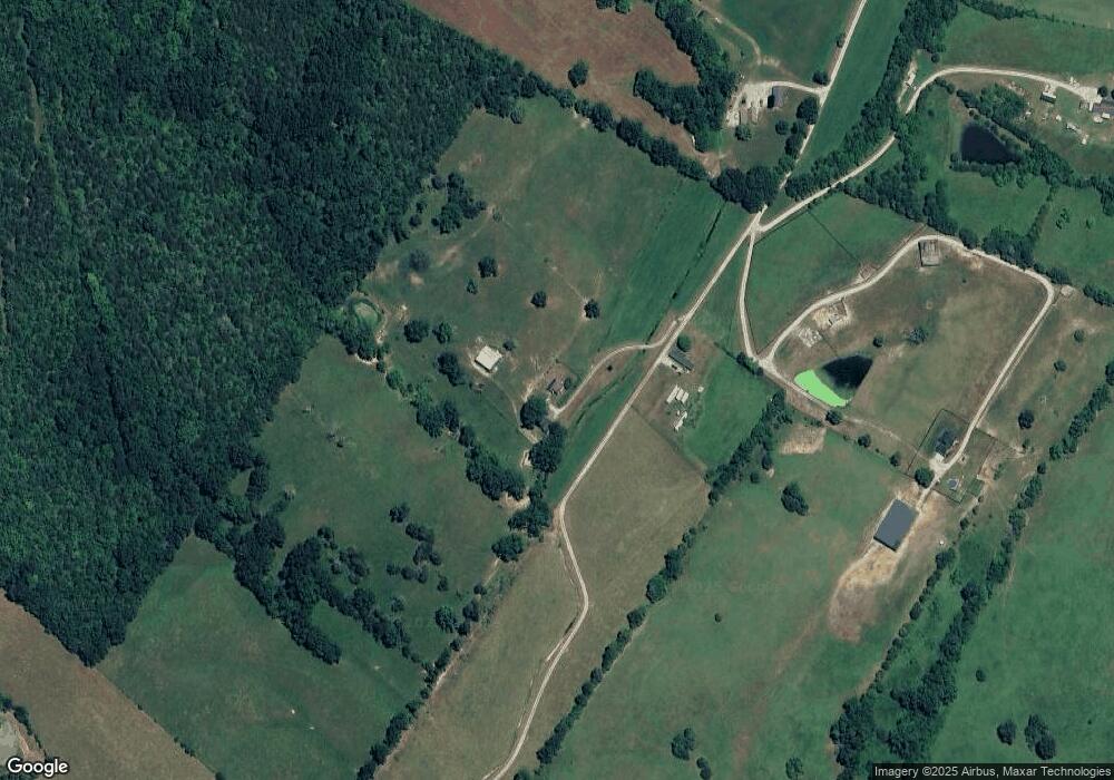
Map
Nearby Homes
- 5980 Bohon Rd
- 196 Hopewell Rd
- 4112 Cornishville Rd
- 1256 Jackson Pike
- 1047 Jackson Pike
- 346 Parsons Ln
- 306 Parsons Ln
- 599 Brewers Mill Rd
- 1518 Oakland Ln
- 380 Parsons Ln
- 1111 Jackson Pike
- 399 Harlow Ln
- 1898 Bohon Rd
- 9915 Cornishville Rd
- 9922 Cornishville Rd
- 860 Central Pike
- 564 Oakland Ln
- 161 Central Pike
- 315 Devine Rd
- 0 Bushtown Rd Unit 25505644