228 Redtail Rd Polson, MT 59860
Estimated Value: $899,000 - $981,089
3
Beds
3
Baths
2,361
Sq Ft
$400/Sq Ft
Est. Value
About This Home
This home is located at 228 Redtail Rd, Polson, MT 59860 and is currently estimated at $945,272, approximately $400 per square foot. 228 Redtail Rd is a home located in Lake County with nearby schools including Cherry Valley School, Linderman Elementary School, and Polson Middle School (7-8).
Ownership History
Date
Name
Owned For
Owner Type
Purchase Details
Closed on
Jul 16, 2015
Sold by
Gillette Steven R and Gillette Shona C
Bought by
The Jamie Seguino Trust
Current Estimated Value
Purchase Details
Closed on
Mar 22, 2007
Sold by
Gillette Steven R and Gillette Shona C
Bought by
Gilleette Steven R and Gilleette Shona C
Purchase Details
Closed on
Oct 17, 2006
Sold by
Ron Platke Construction Inc
Bought by
Gillette Stevem R and Gillette Shona C
Purchase Details
Closed on
Aug 22, 2005
Sold by
Northwest Holdings Llc
Bought by
Ron Platke Construction Inc
Home Financials for this Owner
Home Financials are based on the most recent Mortgage that was taken out on this home.
Original Mortgage
$141,122
Interest Rate
5.56%
Mortgage Type
Purchase Money Mortgage
Create a Home Valuation Report for This Property
The Home Valuation Report is an in-depth analysis detailing your home's value as well as a comparison with similar homes in the area
Home Values in the Area
Average Home Value in this Area
Purchase History
| Date | Buyer | Sale Price | Title Company |
|---|---|---|---|
| The Jamie Seguino Trust | -- | None Available | |
| Gilleette Steven R | -- | None Available | |
| Gillette Stevem R | -- | None Available | |
| Ron Platke Construction Inc | -- | None Available |
Source: Public Records
Mortgage History
| Date | Status | Borrower | Loan Amount |
|---|---|---|---|
| Previous Owner | Ron Platke Construction Inc | $141,122 |
Source: Public Records
Tax History
| Year | Tax Paid | Tax Assessment Tax Assessment Total Assessment is a certain percentage of the fair market value that is determined by local assessors to be the total taxable value of land and additions on the property. | Land | Improvement |
|---|---|---|---|---|
| 2025 | $5,621 | $977,600 | $0 | $0 |
| 2024 | $5,521 | $679,600 | $0 | $0 |
| 2023 | $5,133 | $679,600 | $0 | $0 |
| 2022 | $4,113 | $458,209 | $0 | $0 |
| 2021 | $771 | $80,939 | $0 | $0 |
| 2020 | $795 | $83,326 | $0 | $0 |
| 2019 | $806 | $83,326 | $0 | $0 |
| 2018 | $866 | $90,538 | $0 | $0 |
| 2017 | $876 | $90,538 | $0 | $0 |
| 2016 | $1,237 | $132,080 | $0 | $0 |
| 2015 | $1,189 | $132,080 | $0 | $0 |
| 2014 | $1,354 | $93,941 | $0 | $0 |
Source: Public Records
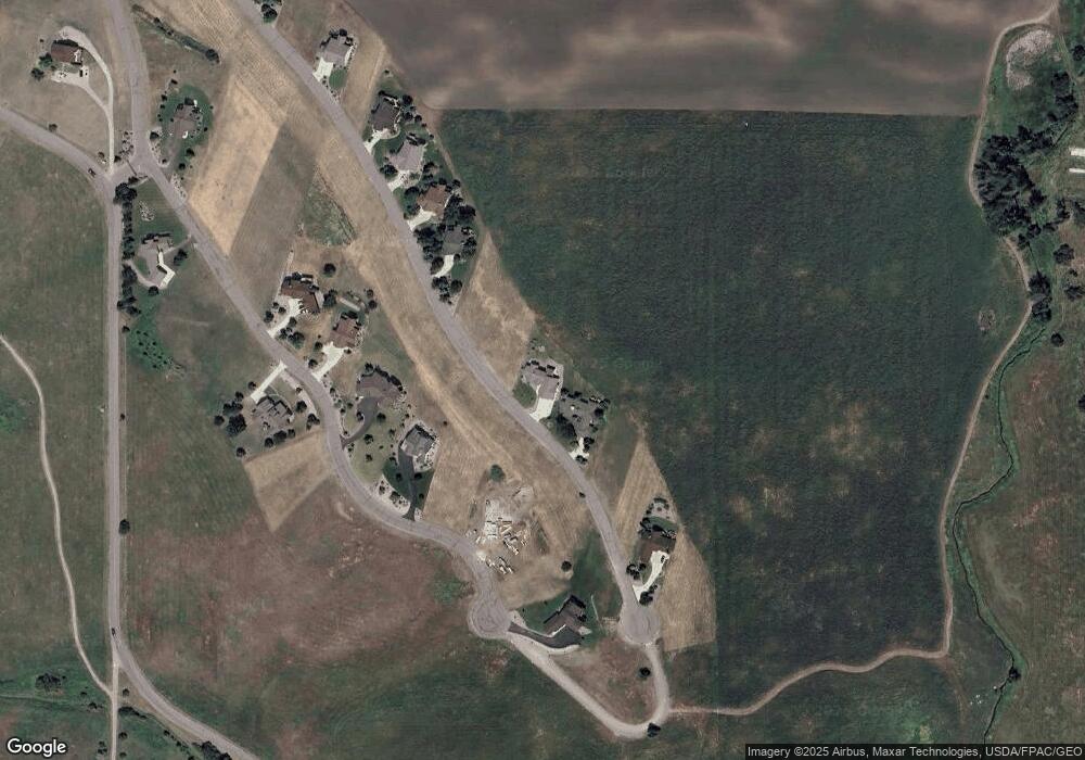
Map
Nearby Homes
- 116 Red Tail Rd
- 227 Pheasant Ridge
- 213 Pheasant Ridge
- 114 Red Tail Rd
- 212 Pheasant Ridge Ln
- 372 Hawk Dr
- 102 Marias St
- 108 Marias St
- 100 Reliance Landing
- Lot 5 Hawk Dr
- LOT 34 Tundra Swan Way
- 105 Gallatin St
- 189 Pheasant Ridge
- 36171 Acre View Dr
- 107 Kari Ln
- 312 Kari Ln
- 403 White Fox Run
- Nhn Montana Landing
- 120 Heritage Ln
- Lot 23 Timberwolf Estates
- 228 Red Tail Rd
- 110 Red Tail Rd
- 105 Red Tail Rd
- 117 Red Tail Rd
- 103 Red Tail Rd
- 230 Red Tail Rd
- 0 Red Tail Rd Unit 329635
- 232 Red Tail Rd Unit (Lot 116)
- 232 Red Tail Rd
- 222 Pheasant Ridge
- 220 Pheasant Ridge Rd
- 220 Pheasant Ridge Ln
- 220 Pheasant Ridge Unit (Lot 208)
- 220 Pheasant Ridge
- 224 Pheasant Ridge
- 224 Pheasant Ridge Unit (Lot 210)
- 0 Pheasant Ridge Unit 283257
- 234 Red Tail Rd Unit (Lot 117)
- 218 Pheasant Ridge Unit (Lot 207)
- 218 Pheasant Ridge
Your Personal Tour Guide
Ask me questions while you tour the home.