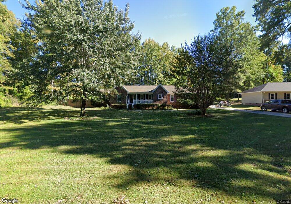
228 Robin Cir Archdale, NC 27263
Estimated Value: $311,302 - $328,000
--
Bed
2
Baths
2,088
Sq Ft
$153/Sq Ft
Est. Value
About This Home
This home is located at 228 Robin Cir, Archdale, NC 27263 and is currently estimated at $318,576, approximately $152 per square foot. 228 Robin Cir is a home located in Randolph County with nearby schools including Trindale Elementary School, Wheatmore Middle School, and Wheatmore High School.
Ownership History
Date
Name
Owned For
Owner Type
Purchase Details
Closed on
Apr 30, 2007
Sold by
Auman Barbara
Bought by
Auman Lee Scott and Auman Terri Lynn
Current Estimated Value
Home Financials for this Owner
Home Financials are based on the most recent Mortgage that was taken out on this home.
Original Mortgage
$166,500
Outstanding Balance
$100,889
Interest Rate
6.1%
Mortgage Type
Purchase Money Mortgage
Estimated Equity
$217,687
Purchase Details
Closed on
Jun 28, 2006
Sold by
Oliver Carl Michael and Oliver Carolyn R
Bought by
Auman Barbara N and Auman Lee Scott
Home Financials for this Owner
Home Financials are based on the most recent Mortgage that was taken out on this home.
Original Mortgage
$165,000
Interest Rate
6.55%
Mortgage Type
Purchase Money Mortgage
Purchase Details
Closed on
Mar 28, 1991
Bought by
Auman Lee Scott Auman Terri Lynn
Create a Home Valuation Report for This Property
The Home Valuation Report is an in-depth analysis detailing your home's value as well as a comparison with similar homes in the area
Home Values in the Area
Average Home Value in this Area
Purchase History
| Date | Buyer | Sale Price | Title Company |
|---|---|---|---|
| Auman Lee Scott | $185,000 | None Available | |
| Auman Barbara N | $185,000 | None Available | |
| Auman Lee Scott Auman Terri Lynn | $94,500 | -- |
Source: Public Records
Mortgage History
| Date | Status | Borrower | Loan Amount |
|---|---|---|---|
| Open | Auman Lee Scott | $166,500 | |
| Previous Owner | Auman Barbara N | $165,000 |
Source: Public Records
Tax History Compared to Growth
Tax History
| Year | Tax Paid | Tax Assessment Tax Assessment Total Assessment is a certain percentage of the fair market value that is determined by local assessors to be the total taxable value of land and additions on the property. | Land | Improvement |
|---|---|---|---|---|
| 2024 | $2,512 | $243,810 | $56,860 | $186,950 |
| 2023 | $2,512 | $243,810 | $56,860 | $186,950 |
| 2022 | $1,913 | $161,460 | $25,680 | $135,780 |
| 2021 | $1,913 | $161,460 | $25,680 | $135,780 |
| 2020 | $1,870 | $161,460 | $25,680 | $135,780 |
| 2019 | $1,870 | $161,460 | $25,680 | $135,780 |
| 2018 | $1,765 | $148,570 | $23,680 | $124,890 |
| 2016 | $1,729 | $148,565 | $23,680 | $124,885 |
| 2015 | $1,733 | $148,565 | $23,680 | $124,885 |
| 2014 | $1,733 | $148,565 | $23,680 | $124,885 |
Source: Public Records
Map
Nearby Homes
- 101 Blair Dr
- 0 Interstate Dr
- 5110 Country Ln
- 0-A Us Highway 311
- 118 Rand Blvd
- 5045 Lake Darr Rd
- 5327 Grey Oaks Rd
- 4996 Darr Rd
- 3827 Wood Ave
- 0-C Us Highway 311
- 0 Sprucewood Ct
- 4717 Deaton Rd
- 110 Deerfield Place
- 108 Sprucewood Ct
- 1206 Byron Ln
- 305 Trey Ln
- 204 Aldridge Ln
- 9622 Us Highway 311
- 512 Dale St
- 5513 Carrington Ct
- 226 Robin Cir
- 224 Robin Cir
- 215 Robin Cir
- 217 Robin Cir
- 219 Robin Cir
- 232 Robin Cir
- 221 Robin Cir
- 222 Robin Cir
- 120 Winchester Ct
- 118 Winchester Ct
- 122 Winchester Ct
- 220 Robin Cir
- 234 Robin Cir
- 124 Winchester Ct
- 116 Winchester Ct
- 126 Winchester Ct
- 486 Robin Ln
- 488 Robin Ln
- 484 Robin Ln
- 236 Robin Cir