228 Rock Spring Rd Owens Cross Roads, AL 35763
Estimated Value: $575,000 - $833,000
5
Beds
5
Baths
4,590
Sq Ft
$148/Sq Ft
Est. Value
About This Home
This home is located at 228 Rock Spring Rd, Owens Cross Roads, AL 35763 and is currently estimated at $681,548, approximately $148 per square foot. 228 Rock Spring Rd is a home located in Madison County with nearby schools including Owens Cross Roads Elementary School and New Hope High School.
Ownership History
Date
Name
Owned For
Owner Type
Purchase Details
Closed on
Jul 15, 2010
Sold by
Atkins Timothy G and Atkins Lindy B
Bought by
Atkins Timothy G and Atkins Lindy B
Current Estimated Value
Home Financials for this Owner
Home Financials are based on the most recent Mortgage that was taken out on this home.
Original Mortgage
$288,000
Interest Rate
3.87%
Mortgage Type
Adjustable Rate Mortgage/ARM
Create a Home Valuation Report for This Property
The Home Valuation Report is an in-depth analysis detailing your home's value as well as a comparison with similar homes in the area
Home Values in the Area
Average Home Value in this Area
Purchase History
| Date | Buyer | Sale Price | Title Company |
|---|---|---|---|
| Atkins Timothy G | -- | -- |
Source: Public Records
Mortgage History
| Date | Status | Borrower | Loan Amount |
|---|---|---|---|
| Closed | Atkins Timothy G | $288,000 |
Source: Public Records
Tax History Compared to Growth
Tax History
| Year | Tax Paid | Tax Assessment Tax Assessment Total Assessment is a certain percentage of the fair market value that is determined by local assessors to be the total taxable value of land and additions on the property. | Land | Improvement |
|---|---|---|---|---|
| 2024 | $1,682 | $47,900 | $5,960 | $41,940 |
| 2023 | $1,682 | $46,640 | $5,960 | $40,680 |
| 2022 | $1,456 | $41,560 | $4,380 | $37,180 |
| 2021 | $1,343 | $38,460 | $4,380 | $34,080 |
| 2020 | $1,275 | $36,600 | $4,380 | $32,220 |
| 2019 | $1,230 | $35,360 | $4,380 | $30,980 |
| 2018 | $1,192 | $34,300 | $0 | $0 |
| 2017 | $1,192 | $34,300 | $0 | $0 |
| 2016 | $1,192 | $34,300 | $0 | $0 |
| 2015 | $1,192 | $34,300 | $0 | $0 |
| 2014 | $1,158 | $33,360 | $0 | $0 |
Source: Public Records
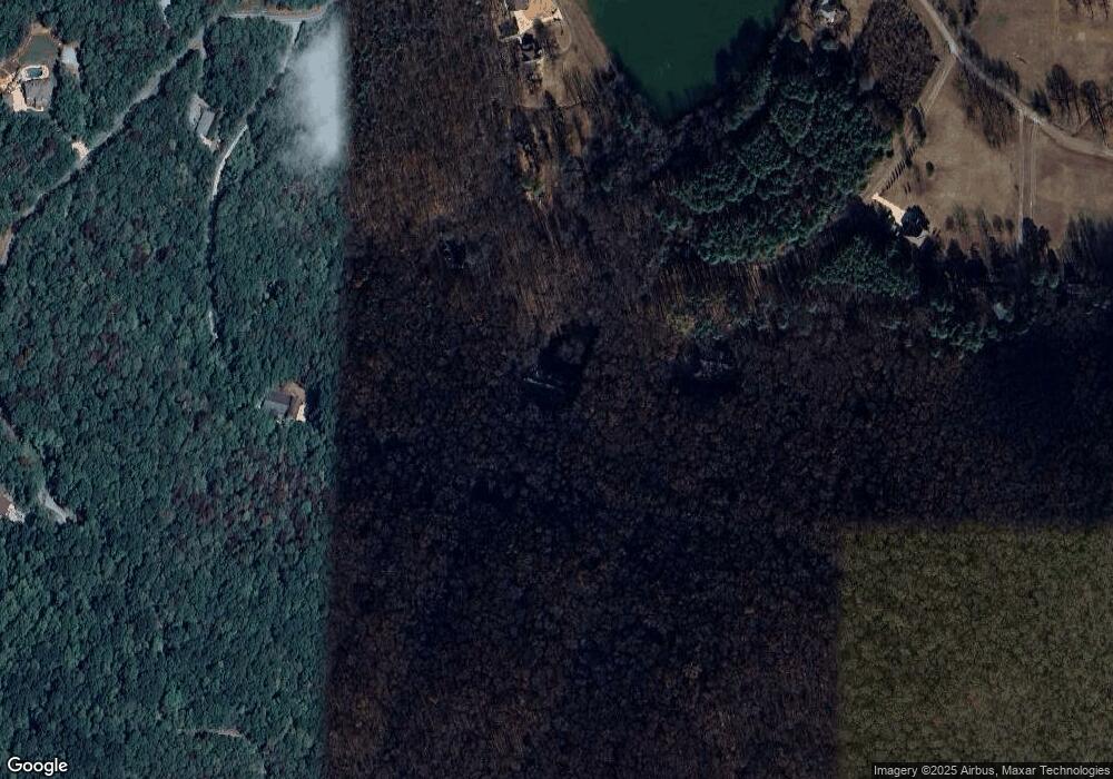
Map
Nearby Homes
- 475 S Green Mountain Rd
- 6.5 Acres Rock Spring Rd
- 21.44 Acres Rock Spring Rd
- 768 Knotty Walls Rd SE
- 10 acres Knotty Walls Rd
- 9947 Sequoyah Dr
- 9901 Sequoyah Cove SE
- 9903 Sequoyah Cove SE
- Cali Plan at Sequoyah Cove
- Lakeside Plan at Sequoyah Cove
- Freeport Plan at Sequoyah Cove
- Kerry Plan at Sequoyah Cove
- Aldridge Plan at Sequoyah Cove
- 10001 Anders Way
- 713 Rock Spring Rd
- 9947 Sequoyah Cove Dr SE
- 15063 Wade Point Dr SE
- 15069 Wade Point Dr SE
- 8510 Rolling Oaks Dr SE
- 2274 Sequoyah Cove Dr SE
- 224 Rock Spring Rd
- 134 Rock Spring Rd
- 232 Rock Spring Rd
- 240 Rock Spring Rd
- 497 S Green Mountain Rd
- 435 S Green Mountain Rd
- 178 Rock Spring Rd
- 226 Rock Springs Rd
- 0 S Green Mountain Rd S Unit 1139025
- 361 S Green Mountain Rd
- 260 Rock Spring Rd
- 500 S Green Mountain Rd
- 13 Acres Green Mountain Rd
- 532 S Green Mountain Rd
- 138 Rock Spring Rd
- 377 S Green Mountain Rd
- 530 S Green Mountain Rd
- 351 S Green Mountain Rd
- 282 Rock Spring Rd
- 133 Rock Spring Rd