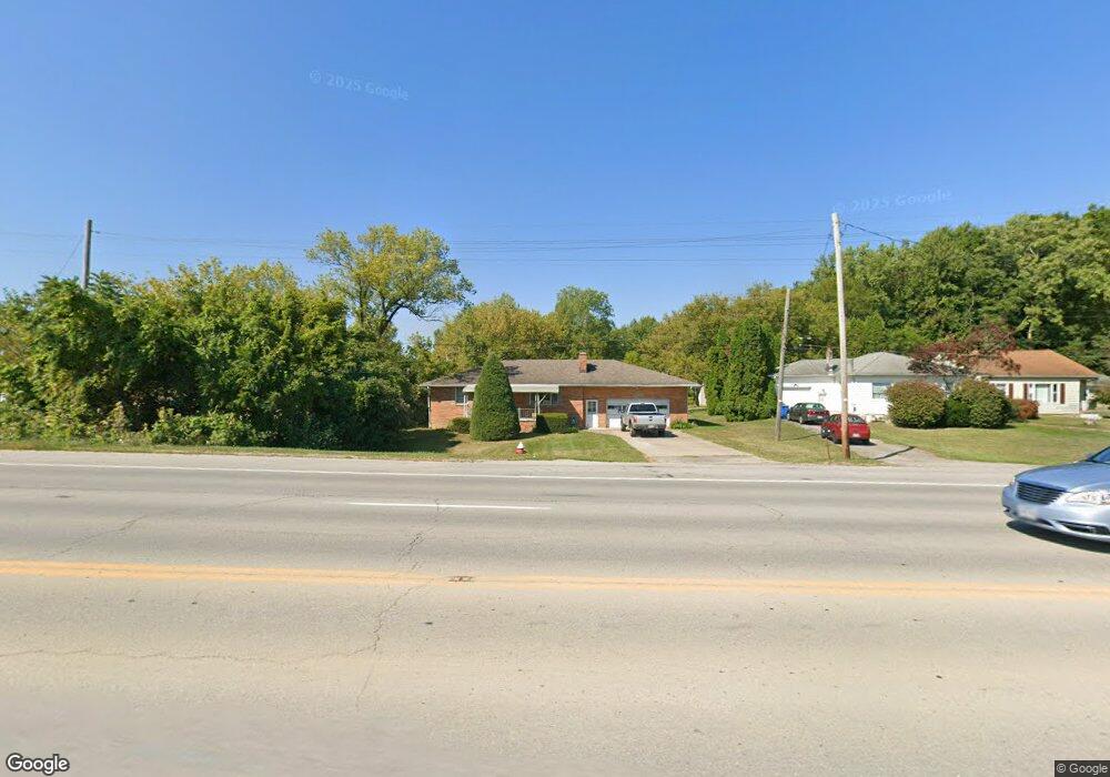
228 S Leavitt Rd Amherst, OH 44001
Estimated Value: $211,000 - $252,000
2
Beds
1
Bath
1,152
Sq Ft
$201/Sq Ft
Est. Value
About This Home
This home is located at 228 S Leavitt Rd, Amherst, OH 44001 and is currently estimated at $231,373, approximately $200 per square foot. 228 S Leavitt Rd is a home located in Lorain County with nearby schools including Powers Elementary School, Walter G. Nord Middle School, and Amherst Junior High School.
Ownership History
Date
Name
Owned For
Owner Type
Purchase Details
Closed on
Jul 14, 2000
Sold by
Zelnik Phyllis M and James Dominic
Bought by
Sokol David J
Current Estimated Value
Home Financials for this Owner
Home Financials are based on the most recent Mortgage that was taken out on this home.
Original Mortgage
$96,000
Outstanding Balance
$35,130
Interest Rate
8.55%
Estimated Equity
$196,243
Create a Home Valuation Report for This Property
The Home Valuation Report is an in-depth analysis detailing your home's value as well as a comparison with similar homes in the area
Home Values in the Area
Average Home Value in this Area
Purchase History
| Date | Buyer | Sale Price | Title Company |
|---|---|---|---|
| Sokol David J | $113,000 | Guardian Title |
Source: Public Records
Mortgage History
| Date | Status | Borrower | Loan Amount |
|---|---|---|---|
| Open | Sokol David J | $96,000 |
Source: Public Records
Tax History Compared to Growth
Tax History
| Year | Tax Paid | Tax Assessment Tax Assessment Total Assessment is a certain percentage of the fair market value that is determined by local assessors to be the total taxable value of land and additions on the property. | Land | Improvement |
|---|---|---|---|---|
| 2024 | $3,616 | $89,541 | $22,502 | $67,039 |
| 2023 | $2,640 | $55,083 | $16,842 | $38,241 |
| 2022 | $2,531 | $55,083 | $16,842 | $38,241 |
| 2021 | $2,537 | $55,083 | $16,842 | $38,241 |
| 2020 | $2,488 | $47,940 | $14,660 | $33,280 |
| 2019 | $2,438 | $47,940 | $14,660 | $33,280 |
| 2018 | $2,506 | $47,940 | $14,660 | $33,280 |
| 2017 | $2,562 | $47,050 | $14,940 | $32,110 |
| 2016 | $2,583 | $47,050 | $14,940 | $32,110 |
| 2015 | $2,568 | $47,050 | $14,940 | $32,110 |
| 2014 | $2,412 | $43,980 | $13,970 | $30,010 |
| 2013 | $2,420 | $43,980 | $13,970 | $30,010 |
Source: Public Records
Map
Nearby Homes
- 1140 Woodside Dr
- 891 Park Ave
- 179 Jackson St
- 653 Brennan Dr
- 7475 S Dewey Rd
- 0 Middle Ridge Rd Unit 5102632
- 0 Middle Ridge Rd Unit 5160578
- 135 Ridgeland Dr
- 825 Cleveland Ave
- 105 N Woodhill Dr
- 2176 Myla Way
- 923 Longitude Ln
- 812 Bearing Ct
- 7325 Hidden Glen Dr
- 574 Fieldstone Dr
- 45200 Middle Ridge Rd
- V/L Middle Ridge Rd
- 726 Sunrise Dr
- 6394 Balsam Dr
- 752 Trails End Dr
- 226 S Leavitt Rd
- 224 S Leavitt Rd
- 220 S Leavitt Rd
- 3 Rice Industrial Pkwy
- 11 Rice Industrial Pkwy
- 10 Rice Industrial Pkwy
- 2 Rice Industrial Pkwy
- 7 Rice Industrial Pkwy
- 10 s/l Rice Industrial Pkwy
- 2 4 Rice Industrial Pkwy
- 10 11 Rice Industrial Pkwy
- 11 s/l Rice Industrial Pkwy
- 3 s/l Rice Industrial Pkwy
- 7 9 Rice Industrial Pkwy
- 214 S Leavitt Rd
- 208 S Leavitt Rd
- 1170 Park Ave
- 1130 Park Ave
- 1150 Park Ave
- 1120 Park Ave