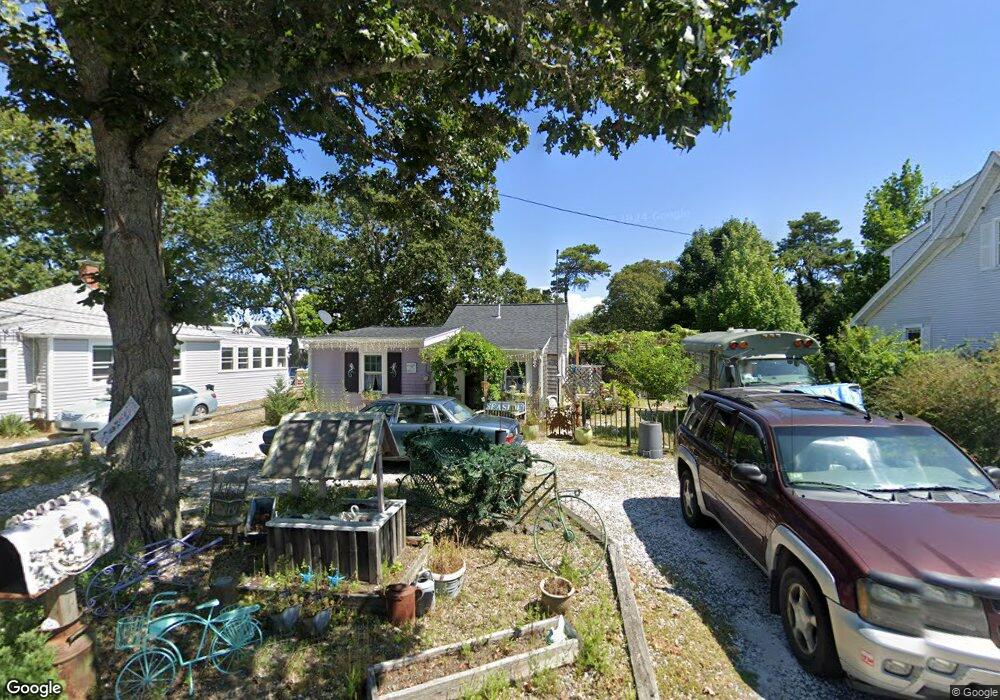
228 Sea St Dennis Port, MA 02639
Dennis Port NeighborhoodEstimated Value: $452,000 - $479,709
2
Beds
1
Bath
800
Sq Ft
$581/Sq Ft
Est. Value
About This Home
This home is located at 228 Sea St, Dennis Port, MA 02639 and is currently estimated at $465,177, approximately $581 per square foot. 228 Sea St is a home with nearby schools including Dennis-Yarmouth Regional High School and St. Pius X. School.
Ownership History
Date
Name
Owned For
Owner Type
Purchase Details
Closed on
Aug 13, 2004
Sold by
Lucey James J and Lucey Mary Margaret
Bought by
Shea Meredith E
Current Estimated Value
Home Financials for this Owner
Home Financials are based on the most recent Mortgage that was taken out on this home.
Original Mortgage
$181,600
Outstanding Balance
$91,008
Interest Rate
6.16%
Mortgage Type
Purchase Money Mortgage
Estimated Equity
$374,169
Purchase Details
Closed on
Apr 3, 1999
Sold by
Landi C Sonny
Bought by
Lucey James J and Lucey Mary M
Home Financials for this Owner
Home Financials are based on the most recent Mortgage that was taken out on this home.
Original Mortgage
$55,000
Interest Rate
6.78%
Mortgage Type
Purchase Money Mortgage
Create a Home Valuation Report for This Property
The Home Valuation Report is an in-depth analysis detailing your home's value as well as a comparison with similar homes in the area
Home Values in the Area
Average Home Value in this Area
Purchase History
| Date | Buyer | Sale Price | Title Company |
|---|---|---|---|
| Shea Meredith E | $227,000 | -- | |
| Lucey James J | $82,000 | -- |
Source: Public Records
Mortgage History
| Date | Status | Borrower | Loan Amount |
|---|---|---|---|
| Open | Shea Meredith E | $181,600 | |
| Previous Owner | Lucey James J | $308,000 | |
| Previous Owner | Lucey James J | $36,000 | |
| Previous Owner | Lucey James J | $55,000 |
Source: Public Records
Tax History Compared to Growth
Tax History
| Year | Tax Paid | Tax Assessment Tax Assessment Total Assessment is a certain percentage of the fair market value that is determined by local assessors to be the total taxable value of land and additions on the property. | Land | Improvement |
|---|---|---|---|---|
| 2025 | $1,640 | $378,700 | $187,800 | $190,900 |
| 2024 | $1,522 | $346,700 | $180,600 | $166,100 |
| 2023 | $1,473 | $315,400 | $164,200 | $151,200 |
| 2022 | $1,432 | $255,700 | $147,900 | $107,800 |
| 2021 | $1,375 | $228,100 | $145,000 | $83,100 |
| 2020 | $1,262 | $206,900 | $133,800 | $73,100 |
| 2019 | $1,209 | $196,000 | $131,200 | $64,800 |
| 2018 | $1,232 | $194,300 | $135,300 | $59,000 |
| 2017 | $1,119 | $181,900 | $124,900 | $57,000 |
| 2016 | $1,162 | $177,900 | $130,100 | $47,800 |
| 2015 | $1,139 | $177,900 | $130,100 | $47,800 |
| 2014 | $978 | $154,000 | $114,500 | $39,500 |
Source: Public Records
Map
Nearby Homes
- 12 Cross St
- 159 Center St Unit 22
- 26 Manning Rd
- 12 Candlewood Ln Unit 2-9
- 221 Upper County Rd Unit 2A
- 221 Upper County Rd Unit 2A
- 73 Division St
- 9 Country Ln
- 47 Telegraph Rd Unit 1
- 166 Upper County Rd Unit 1-4
- 102 Sea St
- 148 Belmont Rd
- 72 Bassett Ln
- 141 Division St
- 268 Main St
- 141 Division St
- 22 Ferncliff Rd
- 11 Ocean Park W
- 402 Old Wharf Rd
- 228 Sea St
- 230 Sea St
- 226 Sea St
- 226 Sea St
- 143 Depot St Unit Q
- 143 Depot St Unit N
- 143 Depot St Unit M
- 143 Depot St Unit L
- 143 Depot St Unit K
- 143 Depot St Unit J
- 143 Depot St Unit H
- 143 Depot St Unit G
- 143 Depot St Unit E
- 143 Depot St Unit D
- 143 Depot St Unit C
- 143 Depot St Unit A
- 143 Depot St Unit U-A
- 143 Depot St Unit F
- 143 Depot St
- 225 Sea St