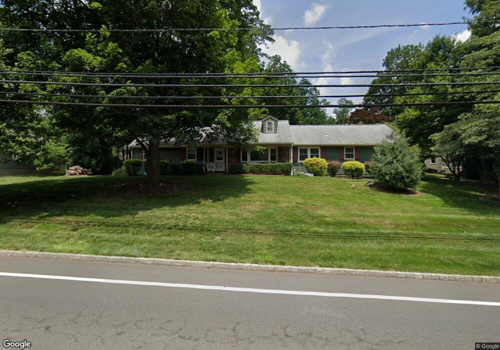
228 Stirling Rd Watchung, NJ 07069
Estimated Value: $654,000 - $740,000
--
Bed
--
Bath
1,647
Sq Ft
$424/Sq Ft
Est. Value
About This Home
This home is located at 228 Stirling Rd, Watchung, NJ 07069 and is currently estimated at $698,528, approximately $424 per square foot. 228 Stirling Rd is a home located in Somerset County with nearby schools including Bayberry Elementary School, Valley View School, and Watchung Hills Regional High School.
Ownership History
Date
Name
Owned For
Owner Type
Purchase Details
Closed on
Dec 6, 2011
Sold by
Tronco Mary
Bought by
Onuska Michael and Roden Melissa
Current Estimated Value
Home Financials for this Owner
Home Financials are based on the most recent Mortgage that was taken out on this home.
Original Mortgage
$356,250
Outstanding Balance
$243,699
Interest Rate
4.01%
Mortgage Type
New Conventional
Estimated Equity
$454,829
Purchase Details
Closed on
Nov 20, 2002
Sold by
Qumar Llc
Bought by
Tronco Gasper and Tronco Mary
Home Financials for this Owner
Home Financials are based on the most recent Mortgage that was taken out on this home.
Original Mortgage
$50,000
Interest Rate
6.07%
Purchase Details
Closed on
Jul 31, 1991
Sold by
Rokob Frank and Rokob Orsolya
Bought by
Quail Bernard W and Quail Marilyn M
Create a Home Valuation Report for This Property
The Home Valuation Report is an in-depth analysis detailing your home's value as well as a comparison with similar homes in the area
Home Values in the Area
Average Home Value in this Area
Purchase History
| Date | Buyer | Sale Price | Title Company |
|---|---|---|---|
| Onuska Michael | $375,000 | Multiple | |
| Tronco Gasper | $365,000 | -- | |
| Quail Bernard W | $206,000 | -- |
Source: Public Records
Mortgage History
| Date | Status | Borrower | Loan Amount |
|---|---|---|---|
| Open | Onuska Michael | $356,250 | |
| Previous Owner | Tronco Gasper | $50,000 |
Source: Public Records
Tax History Compared to Growth
Tax History
| Year | Tax Paid | Tax Assessment Tax Assessment Total Assessment is a certain percentage of the fair market value that is determined by local assessors to be the total taxable value of land and additions on the property. | Land | Improvement |
|---|---|---|---|---|
| 2025 | $9,680 | $526,800 | $260,500 | $266,300 |
| 2024 | $9,680 | $484,500 | $238,700 | $245,800 |
| 2023 | $9,311 | $456,200 | $223,000 | $233,200 |
| 2022 | $9,282 | $441,800 | $216,500 | $225,300 |
| 2021 | $8,514 | $422,100 | $210,200 | $211,900 |
| 2020 | $8,829 | $414,900 | $206,100 | $208,800 |
| 2019 | $8,514 | $410,300 | $206,100 | $204,200 |
| 2018 | $8,087 | $406,200 | $205,000 | $201,200 |
| 2017 | $7,742 | $391,200 | $174,500 | $216,700 |
| 2016 | $8,153 | $389,900 | $174,500 | $215,400 |
| 2015 | $7,940 | $374,900 | $166,100 | $208,800 |
| 2014 | $7,681 | $366,800 | $164,500 | $202,300 |
Source: Public Records
Map
Nearby Homes
- 22 Lakeview Terrace
- 34 Schmidt Cir
- 35 Schmidt Cir
- 15 Glenview Dr
- 43 Sunlit Dr
- 90 Chelsea
- 729 Mountain Blvd
- 40 High Oaks Dr
- 14 Stiles Rd
- 35 Woodledge Rd
- 183 Johnston Dr
- 758 Somerset St Unit 2
- 20 Maple Ave
- 17 Old Church Rd
- 3 Majors Rd
- 311 Jefferson Ave
- 22 Livingston Ave
- 610 Somerset St
- 3 Upper Warren Way
- 33 Gates Ave
- 236 Stirling Rd
- 231 Stirling Rd
- 105 Brookdale Rd
- 210 Stirling Rd
- 237 Stirling Rd
- 246 Stirling Rd
- 245 Stirling Rd
- 200 Stirling Rd
- 99 Brookdale Rd
- 91 Brookdale Rd
- 11 Cedar Rd
- 256 Stirling Rd
- 249 Stirling Rd
- 25 Cedar Rd
- 110 Brookdale Rd
- 205 Stirling Rd
- 106 Brookdale Rd
- 100 Brookdale Rd
- 87 Brookdale Rd
- 29 Cedar Rd