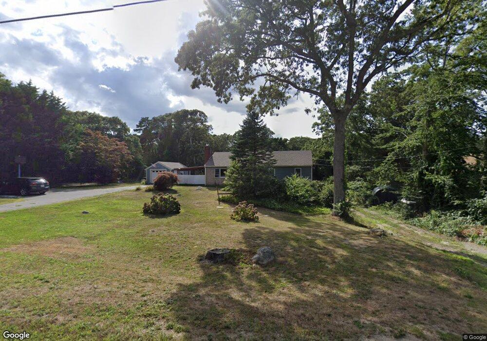
228 Underpass Rd Brewster, MA 02631
Estimated Value: $675,884 - $759,000
About This Home
This home is located at 228 Underpass Rd, Brewster, MA 02631 and is currently estimated at $712,221, approximately $595 per square foot. 228 Underpass Rd is a home located in Barnstable County with nearby schools including Stony Brook Elementary School, Eddy Elementary School, and Nauset Regional Middle School.
Ownership History
We collect this data history from publicly available records. To have your information removed, we recommend requesting removal directly through your county’s website.
Purchase Details
Home Financials for this Owner
Home Financials are based on the most recent Mortgage that was taken out on this home.Purchase Details
Home Financials for this Owner
Home Financials are based on the most recent Mortgage that was taken out on this home.Home Values in the Area
Average Home Value in this Area
Purchase History
We collect this data history from publicly available records. To have your information removed, we recommend requesting removal directly through your county’s website.
| Date | Buyer | Sale Price | Title Company |
|---|---|---|---|
| -- | None Available | ||
| -- | None Available | ||
| $115,000 | -- | ||
| $115,000 | -- |
Mortgage History
We collect this data history from publicly available records. To have your information removed, we recommend requesting removal directly through your county’s website.
| Date | Status | Borrower | Loan Amount |
|---|---|---|---|
| Open | $205,000 | ||
| Closed | $205,000 | ||
| Previous Owner | $10,387 | ||
| Previous Owner | $92,000 |
Tax History
We collect this data history from publicly available records. To have your information removed, we recommend requesting removal directly through your county’s website.
| Year | Tax Paid | Tax Assessment Tax Assessment Total Assessment is a certain percentage of the fair market value that is determined by local assessors to be the total taxable value of land and additions on the property. | Land | Improvement |
|---|---|---|---|---|
| 2025 | $3,787 | $550,500 | $276,500 | $274,000 |
| 2024 | $3,568 | $524,000 | $260,900 | $263,100 |
| 2023 | $3,094 | $442,600 | $207,000 | $235,600 |
| 2022 | $2,928 | $373,000 | $172,400 | $200,600 |
| 2021 | $2,748 | $320,300 | $149,900 | $170,400 |
| 2020 | $2,707 | $314,000 | $149,900 | $164,100 |
| 2019 | $2,752 | $320,700 | $162,300 | $158,400 |
| 2018 | $2,618 | $317,000 | $162,300 | $154,700 |
| 2017 | $2,494 | $297,300 | $162,300 | $135,000 |
| 2016 | $2,477 | $293,800 | $159,200 | $134,600 |
| 2015 | $2,231 | $270,100 | $138,700 | $131,400 |
Map
- 81 Woodview Dr
- 81 Woodview Dr Unit 81
- 21 Chestnut Cir
- 210 Billington Ln Unit 210
- 27 Billington Ln Unit 27
- 120 Chilton Ln Unit 120
- 47 Flying Dragon Rd
- 11 Chilton Ln
- 11 Chilton Ln Unit 11
- 77 Chilton Ln Unit 77
- 38 Bittersweet Dr
- 2019 Main St
- 20 Bantry Ln
- 81 Fletcher Ln Unit I
- 81 Fletcher Ln Unit I
- 102 Fletcher Ln Unit N
- 102 Fletcher Ln Unit H
- 102 Fletcher Ln Unit H
- 102 Fletcher Ln Unit N
- 0 Old Chatham Rd
- 238 N Underpass
- 238 Underpass Rd
- 250 Underpass Rd
- 252 Underpass Rd
- 252 Underpass Rd Unit 250UP
- 252 Underpass Rd Unit 252UP
- 235 Underpass Rd
- 239 Underpass Rd
- 260 Underpass Rd
- 217 Underpass Rd
- 280-282 Underpass Rd
- 0 Independence Way L:7
- 0 Independence Way
- 1 Independence Way
- 198 Underpass Rd
- 9 Sara Ann Ln
- 23 Independence Way
- 43 Independence Way
- 10-16 Independence Way
- 32 Sara Ann Ln
Ask me questions while you tour the home.