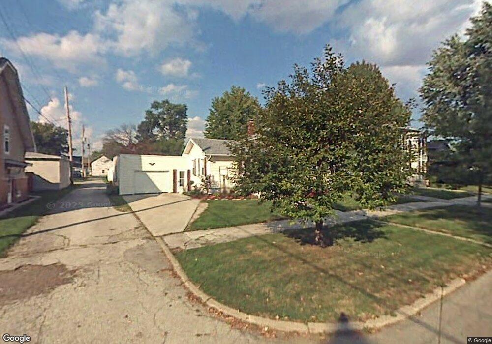
228 W High St Fostoria, OH 44830
Estimated Value: $28,000 - $142,000
4
Beds
2
Baths
2,422
Sq Ft
$35/Sq Ft
Est. Value
About This Home
This home is located at 228 W High St, Fostoria, OH 44830 and is currently estimated at $85,000, approximately $35 per square foot. 228 W High St is a home located in Seneca County with nearby schools including Fostoria Intermediate Elementary School and Fostoria Junior/Senior High School.
Ownership History
Date
Name
Owned For
Owner Type
Purchase Details
Closed on
Aug 18, 2020
Sold by
Seneca County Land Reutilization Corp
Bought by
Mcgraw Adriane and Stepp Joshua L
Current Estimated Value
Purchase Details
Closed on
Aug 22, 2017
Sold by
Lehmann Richard B and Lehmann Rosa
Bought by
Seneca County Land Reutilization Corpora
Purchase Details
Closed on
Apr 7, 2003
Sold by
Shoub Alice A
Bought by
Lehmann Richard B
Purchase Details
Closed on
Sep 6, 2001
Sold by
Shoub Donald A
Bought by
Shoub Alice A
Purchase Details
Closed on
Jul 20, 1994
Sold by
Shoub Donald A
Bought by
Shoub Donald A
Create a Home Valuation Report for This Property
The Home Valuation Report is an in-depth analysis detailing your home's value as well as a comparison with similar homes in the area
Home Values in the Area
Average Home Value in this Area
Purchase History
| Date | Buyer | Sale Price | Title Company |
|---|---|---|---|
| Mcgraw Adriane | -- | Assured Title | |
| Seneca County Land Reutilization Corpora | -- | Attorney | |
| Lehmann Richard B | $91,500 | -- | |
| Shoub Alice A | -- | -- | |
| Shoub Donald A | -- | -- |
Source: Public Records
Tax History Compared to Growth
Tax History
| Year | Tax Paid | Tax Assessment Tax Assessment Total Assessment is a certain percentage of the fair market value that is determined by local assessors to be the total taxable value of land and additions on the property. | Land | Improvement |
|---|---|---|---|---|
| 2024 | $284 | $5,510 | $5,510 | $0 |
| 2023 | $284 | $5,510 | $5,510 | $0 |
| 2022 | $275 | $4,750 | $4,750 | $0 |
| 2021 | $281 | $4,750 | $4,750 | $0 |
| 2020 | $73 | $4,753 | $4,753 | $0 |
| 2019 | $0 | $4,589 | $4,589 | $0 |
| 2018 | $0 | $4,876 | $4,589 | $287 |
| 2017 | $3,338 | $5,160 | $4,589 | $571 |
| 2016 | $302 | $5,643 | $4,785 | $858 |
| 2015 | $2,923 | $5,643 | $4,785 | $858 |
| 2014 | $2,512 | $5,643 | $4,785 | $858 |
| 2013 | $2,107 | $6,059 | $5,201 | $858 |
Source: Public Records
Map
Nearby Homes
- 520 N Union St
- 723 N Union St
- 211 Summit St
- 203 N Union St
- 509 College Ave
- 633 Maple St
- 540 N Poplar St
- 931 N Union St
- 603 N Vine St
- 348 W South St
- 321 Mcdougal St
- 892 N Countyline St
- 351 W South St
- 0 W South Route 12
- 900 N Countyline St
- 435 Park Ave
- 207 W Culbertson St
- 901 Central Ave
- 412 E Center St
- 442 Union Ct