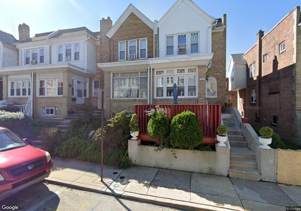
228 Wembly Rd Upper Darby, PA 19082
Estimated Value: $181,000 - $219,000
3
Beds
1
Bath
1,415
Sq Ft
$139/Sq Ft
Est. Value
About This Home
This home is located at 228 Wembly Rd, Upper Darby, PA 19082 and is currently estimated at $196,749, approximately $139 per square foot. 228 Wembly Rd is a home located in Delaware County with nearby schools including Bywood Elementary School, Upper Darby Kdg Center, and Upper Darby High School.
Ownership History
Date
Name
Owned For
Owner Type
Purchase Details
Closed on
Nov 20, 1995
Sold by
Maguire Charles Joseph
Bought by
Foster Crystall M
Current Estimated Value
Home Financials for this Owner
Home Financials are based on the most recent Mortgage that was taken out on this home.
Original Mortgage
$55,971
Outstanding Balance
$766
Interest Rate
7.37%
Mortgage Type
FHA
Estimated Equity
$195,983
Create a Home Valuation Report for This Property
The Home Valuation Report is an in-depth analysis detailing your home's value as well as a comparison with similar homes in the area
Home Values in the Area
Average Home Value in this Area
Purchase History
| Date | Buyer | Sale Price | Title Company |
|---|---|---|---|
| Foster Crystall M | $56,000 | T A Title Insurance Company |
Source: Public Records
Mortgage History
| Date | Status | Borrower | Loan Amount |
|---|---|---|---|
| Open | Foster Crystall M | $55,971 |
Source: Public Records
Tax History
| Year | Tax Paid | Tax Assessment Tax Assessment Total Assessment is a certain percentage of the fair market value that is determined by local assessors to be the total taxable value of land and additions on the property. | Land | Improvement |
|---|---|---|---|---|
| 2025 | $3,676 | $86,910 | $21,780 | $65,130 |
| 2024 | $3,676 | $86,910 | $21,780 | $65,130 |
| 2023 | $3,641 | $86,910 | $21,780 | $65,130 |
| 2022 | $3,543 | $86,910 | $21,780 | $65,130 |
| 2021 | $4,777 | $86,910 | $21,780 | $65,130 |
| 2020 | $3,536 | $54,660 | $16,940 | $37,720 |
| 2019 | $3,474 | $54,660 | $16,940 | $37,720 |
| 2018 | $3,434 | $54,660 | $0 | $0 |
| 2017 | $3,344 | $54,660 | $0 | $0 |
| 2016 | $306 | $54,660 | $0 | $0 |
| 2015 | $306 | $54,660 | $0 | $0 |
| 2014 | $306 | $54,660 | $0 | $0 |
Source: Public Records
Map
Nearby Homes
- 312 Wiltshire Rd
- 321 Hampden Rd
- 411 Millbank Rd
- 345 Copley Rd
- 424 Woodcliffe Rd
- 418 Littlecroft Rd Unit 6A
- 337 Copley Rd
- 232 Copley Rd
- 210 Copley Rd
- 212 Copley Rd
- 418 Hampden Rd
- 138 Richfield Rd
- 233 Barrington Rd
- 417 Copley Rd
- 513 Woodcliffe Rd
- 432 Grace Rd
- 519 Littlecroft Rd
- 234 Long Ln
- 232 Long Ln
- 247 Heather Rd
- 230 Wembly Rd
- 308 Maypole Rd
- 226 Wembly Rd
- 310 Maypole Rd
- 312 Maypole Rd
- 330 Maypole Rd
- 334 Maypole Rd
- 336 Maypole Rd
- 338 Maypole Rd
- 275 Wembly Rd
- 340 Maypole Rd
- 314 Richfield Rd
- 273 Wembly Rd
- 534 Hampden Rd
- 532 Hampden Rd
- 255 Richfield Rd
- 271 Wembly Rd
- 334 Richfield Rd
- 254 Maypole Rd
- 332 Maypole Rd
Your Personal Tour Guide
Ask me questions while you tour the home.