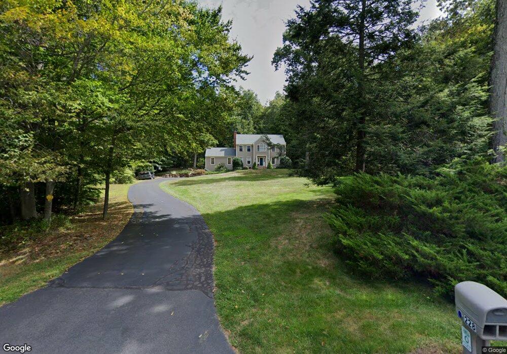
228 Wolf Pit Dr Southbury, CT 06488
Estimated Value: $690,000 - $749,000
4
Beds
3
Baths
2,676
Sq Ft
$270/Sq Ft
Est. Value
About This Home
This home is located at 228 Wolf Pit Dr, Southbury, CT 06488 and is currently estimated at $721,803, approximately $269 per square foot. 228 Wolf Pit Dr is a home located in New Haven County with nearby schools including Long Meadow Elementary School, Memorial Middle School, and Pomperaug Regional High School.
Ownership History
Date
Name
Owned For
Owner Type
Purchase Details
Closed on
Jun 30, 1997
Sold by
Pancza Donald and Pancza Maureen
Bought by
Frering Keith and Frering Pat
Current Estimated Value
Purchase Details
Closed on
Apr 20, 1995
Sold by
C & M Homes
Bought by
Maureen Pancza Donald and Maureen Pncza
Purchase Details
Closed on
Sep 20, 1994
Sold by
Field Dev
Bought by
C & M Homes
Create a Home Valuation Report for This Property
The Home Valuation Report is an in-depth analysis detailing your home's value as well as a comparison with similar homes in the area
Home Values in the Area
Average Home Value in this Area
Purchase History
| Date | Buyer | Sale Price | Title Company |
|---|---|---|---|
| Frering Keith | $294,000 | -- | |
| Maureen Pancza Donald | $277,500 | -- | |
| C & M Homes | $145,000 | -- |
Source: Public Records
Mortgage History
| Date | Status | Borrower | Loan Amount |
|---|---|---|---|
| Open | C & M Homes | $314,400 | |
| Closed | C & M Homes | $50,000 |
Source: Public Records
Tax History Compared to Growth
Tax History
| Year | Tax Paid | Tax Assessment Tax Assessment Total Assessment is a certain percentage of the fair market value that is determined by local assessors to be the total taxable value of land and additions on the property. | Land | Improvement |
|---|---|---|---|---|
| 2025 | $8,924 | $368,780 | $96,610 | $272,170 |
| 2024 | $8,703 | $368,780 | $96,610 | $272,170 |
| 2023 | $8,298 | $368,780 | $96,610 | $272,170 |
| 2022 | $7,854 | $274,220 | $100,460 | $173,760 |
| 2021 | $8,035 | $274,220 | $100,460 | $173,760 |
| 2020 | $8,035 | $274,220 | $100,460 | $173,760 |
| 2019 | $7,980 | $274,220 | $100,460 | $173,760 |
| 2018 | $7,952 | $274,220 | $100,460 | $173,760 |
| 2017 | $8,416 | $287,250 | $116,730 | $170,520 |
| 2016 | $8,273 | $287,250 | $116,730 | $170,520 |
| 2015 | $8,158 | $287,250 | $116,730 | $170,520 |
| 2014 | $7,928 | $287,250 | $116,730 | $170,520 |
Source: Public Records
Map
Nearby Homes
- 146 Lantern Park Ln S
- 101 Church Rd Unit 3
- 324 Luther Dr
- 20 Lantern Park Ln S
- 11 Far View Commons Unit 11
- 64 Short Rock Rd
- 101 Settlers Hill Rd
- 919 Strongtown Rd
- 369 Strongtown Rd
- 280 Jeremy Swamp Rd
- 61 Pope Rd
- 59 Pope Rd
- 57, 59, 61 and Parce Pope Rd
- 216 Hulls Hill Rd
- 57 Pope Rd
- 913 Jeremy Swamp Rd
- 163 Hickory Ln
- 70 Diamond Match Rd
- 33 Old Field Hill Rd Unit 9
- 20 Oakcrest Rd