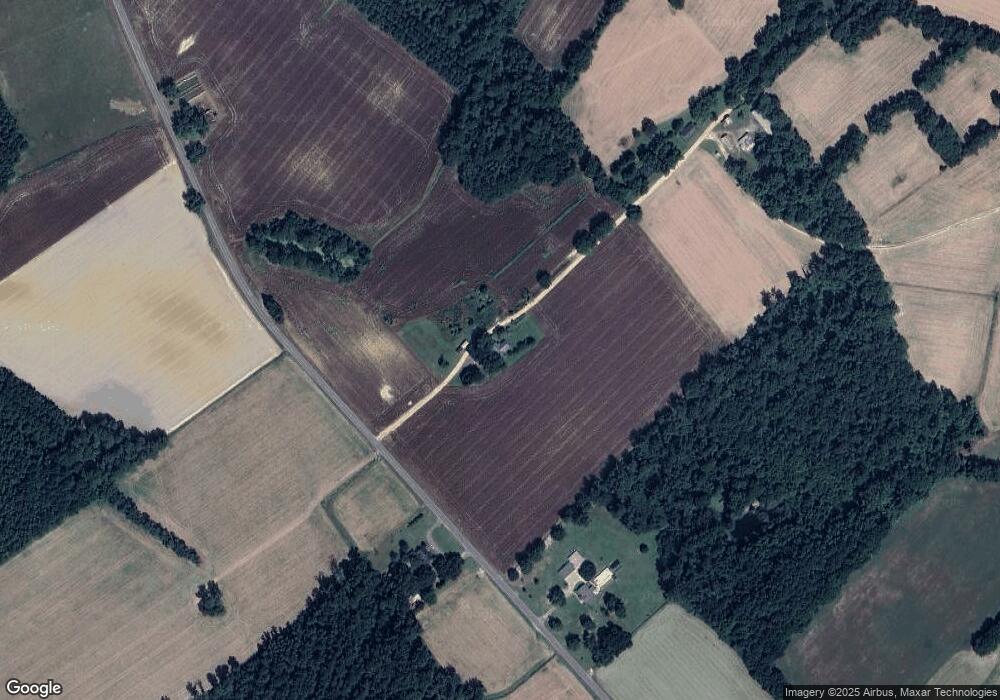
2280 Clint Dr Fork, SC 29543
Estimated Value: $115,000 - $221,000
Studio
--
Bath
--
Sq Ft
1.08
Acres
About This Home
This home is located at 2280 Clint Dr, Fork, SC 29543 and is currently estimated at $160,336. 2280 Clint Dr is a home located in Dillon County with nearby schools including Lake View Elementary School and Lake View High School.
Ownership History
Date
Name
Owned For
Owner Type
Purchase Details
Closed on
Aug 4, 2023
Sold by
Huggins Paula S
Bought by
Jackson Hardy
Current Estimated Value
Home Financials for this Owner
Home Financials are based on the most recent Mortgage that was taken out on this home.
Original Mortgage
$88,888
Outstanding Balance
$86,630
Interest Rate
6.67%
Mortgage Type
New Conventional
Estimated Equity
$73,706
Purchase Details
Closed on
Jun 19, 2018
Sold by
Jillian Mcpherson
Bought by
Huggins Paula S
Purchase Details
Closed on
Jan 31, 1998
Sold by
Huggins M K Est
Bought by
Huggins Gregory D
Create a Home Valuation Report for This Property
The Home Valuation Report is an in-depth analysis detailing your home's value as well as a comparison with similar homes in the area
Purchase History
| Date | Buyer | Sale Price | Title Company |
|---|---|---|---|
| Jackson Hardy | $85,000 | None Listed On Document | |
| Huggins Paula S | $32,000 | -- | |
| Huggins Gregory D | -- | -- |
Source: Public Records
Mortgage History
| Date | Status | Borrower | Loan Amount |
|---|---|---|---|
| Open | Jackson Hardy | $88,888 |
Source: Public Records
Tax History
| Year | Tax Paid | Tax Assessment Tax Assessment Total Assessment is a certain percentage of the fair market value that is determined by local assessors to be the total taxable value of land and additions on the property. | Land | Improvement |
|---|---|---|---|---|
| 2025 | $548 | $3,360 | $190 | $3,170 |
| 2023 | $507 | $3,360 | $190 | $3,170 |
| 2022 | $1,646 | $5,040 | $280 | $4,760 |
| 2021 | $413 | $2,940 | $180 | $2,760 |
| 2020 | $480 | $2,940 | $180 | $2,760 |
| 2019 | $433 | $2,940 | $180 | $2,760 |
| 2018 | $433 | $2,940 | $180 | $2,760 |
| 2016 | $417 | $2,940 | $180 | $2,760 |
| 2015 | $417 | $2,940 | $180 | $2,760 |
| 2014 | -- | $2,940 | $180 | $2,760 |
| 2013 | -- | $2,940 | $180 | $2,760 |
Source: Public Records
Map
Nearby Homes
- 0 Old River Rd Unit Tract B
- 0 Old River Rd Unit Tract A
- 1130 Buck Swamp Rd
- 1550 Rone Place
- 000 Schofield Place
- 0 Tbd Barfield Rd Unit LotWP002 21520542
- 0 Tbd Barfield Rd Unit LotWP004 21520544
- 0 Tbd Barfield Rd Unit LotWP005
- 0 Highway 41 Unit LotWP001 14913177
- 1740 Grain Bin Rd
- 0 Winnie Rd
- TBD Elista Rd
- 6137 Old Mullins Hwy
- 4382 Watermill Rd
- 5050 Country Club Ct
- TBD S Main St
- 1210 John St
- Lot 9 Tooge Hayes Rd
- Lot 7 Tooge Hayes Rd
- Lot 4 Tooge Hayes Rd
- 2158 Clint Dr
- 2005 Gleason Place
- 2001 Gleason Place
- 0 Clint Dr
- 0 Old River Road Tract B
- 1556 Old River Rd
- 2245 Clint Dr
- 2000 Holmes Ct
- 1818 1st Loop Rd
- 1821 1st Loop Rd
- 1926 1st Loop Rd
- 1391 Old River Rd
- 0 Old River Rd
- 1744 Old River Rd
- 1807 Old River Rd
- 1741 Old River Rd
- 1751 Old River Rd
- 1817 Old River Rd
- 1768 Old River Rd
- 1763 Old River Rd
