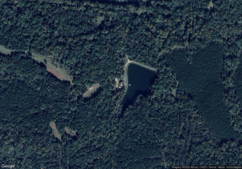
2280 Maxeys Rd Union Point, GA 30669
Estimated Value: $101,000 - $1,640,000
3
Beds
3
Baths
3,227
Sq Ft
$287/Sq Ft
Est. Value
About This Home
This home is located at 2280 Maxeys Rd, Union Point, GA 30669 and is currently estimated at $925,034, approximately $286 per square foot. 2280 Maxeys Rd is a home located in Greene County with nearby schools including Greene County High School.
Ownership History
Date
Name
Owned For
Owner Type
Purchase Details
Closed on
Jan 1, 2013
Sold by
Cedar Post Lodge Llc
Bought by
Stringer Angela
Current Estimated Value
Purchase Details
Closed on
Aug 27, 2012
Sold by
Stringer Gregory B
Bought by
Cedar Post Lodge Llc
Purchase Details
Closed on
May 11, 2010
Sold by
Mccommons Robert M
Bought by
Cowherd W Kayle and Cowherd Jamie Allison
Purchase Details
Closed on
Sep 6, 2007
Sold by
Mccommons Sherre Hopewell
Bought by
Mccommons Robert M
Purchase Details
Closed on
Jan 11, 2006
Sold by
Glenview Estates Llc
Bought by
Cedar Post Lodge Llc
Create a Home Valuation Report for This Property
The Home Valuation Report is an in-depth analysis detailing your home's value as well as a comparison with similar homes in the area
Home Values in the Area
Average Home Value in this Area
Purchase History
| Date | Buyer | Sale Price | Title Company |
|---|---|---|---|
| Stringer Angela | $283,720 | -- | |
| Cedar Post Lodge Llc | -- | -- | |
| Cowherd W Kayle | -- | -- | |
| Mccommons Robert M | -- | -- | |
| Cedar Post Lodge Llc | -- | -- |
Source: Public Records
Tax History Compared to Growth
Tax History
| Year | Tax Paid | Tax Assessment Tax Assessment Total Assessment is a certain percentage of the fair market value that is determined by local assessors to be the total taxable value of land and additions on the property. | Land | Improvement |
|---|---|---|---|---|
| 2025 | $4,944 | $597,512 | $338,280 | $259,232 |
| 2024 | $5,265 | $581,552 | $338,280 | $243,272 |
| 2023 | $5,052 | $478,048 | $245,560 | $232,488 |
| 2022 | $5,065 | $394,104 | $188,480 | $205,624 |
| 2021 | $4,836 | $365,224 | $188,480 | $176,744 |
| 2020 | $3,838 | $263,212 | $153,080 | $110,132 |
| 2019 | $3,894 | $263,212 | $153,080 | $110,132 |
| 2018 | $3,842 | $263,212 | $153,080 | $110,132 |
Source: Public Records
Map
Nearby Homes
- 5011 Penfield Rd
- 204 Maple St
- 1101 Boswell Rd
- 3434 Union Point Rd
- 5971 Penfield Rd
- 0 Dogwood Rd
- 181 Lower Wirebridge Rd
- 0 Lower Wirebridge Rd
- 1211 Peachtree Ave W
- 0 Woodville Rd Unit 7667944
- 0 Woodville Rd Unit 10628010
- 1110 Woodland Way
- 1110 Woodland Ln
- 3021 Penfield Rd
- 332 Oconee Forest Rd
- 334 Oconee Forest Rd
- 1251 Adams Rd
- 0 Cold Springs Rd Unit 25814506
- 0 Bob Smith Rd Unit 24738158
- 75 Bob Smith Rd
