2280 W Bryant Rd Center Point, LA 71323
Estimated Value: $155,384 - $207,000
3
Beds
1
Bath
2,400
Sq Ft
$78/Sq Ft
Est. Value
About This Home
This home is located at 2280 W Bryant Rd, Center Point, LA 71323 and is currently estimated at $186,461, approximately $77 per square foot. 2280 W Bryant Rd is a home located in Avoyelles Parish with nearby schools including Lafargue Elementary School and Marksville High School.
Ownership History
Date
Name
Owned For
Owner Type
Purchase Details
Closed on
Oct 27, 2010
Sold by
Bryant Denny W and Bryant Tess Ford
Bought by
Rachal Royra
Current Estimated Value
Home Financials for this Owner
Home Financials are based on the most recent Mortgage that was taken out on this home.
Original Mortgage
$12,000
Outstanding Balance
$7,938
Interest Rate
4.32%
Mortgage Type
Future Advance Clause Open End Mortgage
Estimated Equity
$178,523
Create a Home Valuation Report for This Property
The Home Valuation Report is an in-depth analysis detailing your home's value as well as a comparison with similar homes in the area
Home Values in the Area
Average Home Value in this Area
Purchase History
| Date | Buyer | Sale Price | Title Company |
|---|---|---|---|
| Rachal Royra | $115,000 | None Available |
Source: Public Records
Mortgage History
| Date | Status | Borrower | Loan Amount |
|---|---|---|---|
| Open | Rachal Royra | $12,000 |
Source: Public Records
Tax History Compared to Growth
Tax History
| Year | Tax Paid | Tax Assessment Tax Assessment Total Assessment is a certain percentage of the fair market value that is determined by local assessors to be the total taxable value of land and additions on the property. | Land | Improvement |
|---|---|---|---|---|
| 2024 | $546 | $9,240 | $610 | $8,630 |
| 2023 | $547 | $9,230 | $600 | $8,630 |
| 2022 | $547 | $9,230 | $600 | $8,630 |
| 2021 | $547 | $9,230 | $600 | $8,630 |
| 2020 | $547 | $9,230 | $600 | $8,630 |
| 2019 | $547 | $9,220 | $590 | $8,630 |
| 2018 | $547 | $9,130 | $500 | $8,630 |
| 2017 | $547 | $9,130 | $500 | $8,630 |
| 2015 | $547 | $9,130 | $500 | $8,630 |
| 2013 | $547 | $9,220 | $590 | $8,630 |
Source: Public Records
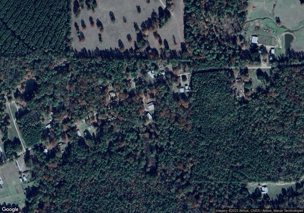
Map
Nearby Homes
- 270 Slocum Cemetery Rd
- 1025 W Bryant Rd
- 632 W Bryant Rd
- 85 Jim Bryant Rd
- 638 Effie Hwy
- 204 Nation Rd
- 0 Old Beaubouef Rd
- 306 Highway 107
- 0B Philadelphia Rd
- 0A Philadelphia Rd
- 419 Hooper Rd
- 0 Ridge Lot F Ln Unit 2428425
- 0 Hwy 107 Lot F Oak Ridge Lane of Oak Ridge Sub Unit 151456
- 0 Nation Rd
- 0 Ridge Ln Unit Lot F 24009936
- 0 Louisiana 107
- 292 Woodson Landing Rd
- TBD Hooper Rd
- 650 Booner Miller Rd
- 229 Newsome Rd
- 2273 W Bryant Rd
- 2313 W Bryant Rd
- 2336 W Bryant Rd
- 2251 W Bryant Rd
- 2331 W Bryant Rd
- 2248 W Bryant Rd
- 2235 W Bryant Rd
- 320 W Bryant Rd
- 2216 W Bryant Rd
- 161 Alberts Ln
- 2177 W Bryant Rd
- 2162 W Bryant Rd
- 2393 W Bryant Rd
- 2419 W Bryant Rd
- 2141 W Bryant Rd
- 164 Devin Ln
- 2128 W Bryant Rd
- 449 Horsepen Creek Rd
- 2113 W Bryant Rd
- 104 Slocum Cemetery Rd