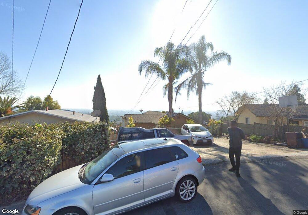
2281 Upland Rd San Leandro, CA 94578
Bay-O-Vista NeighborhoodEstimated Value: $646,000 - $751,345
About This Home
This home is located at 2281 Upland Rd, San Leandro, CA 94578 and is currently estimated at $702,086, approximately $638 per square foot. 2281 Upland Rd is a home located in Alameda County with nearby schools including Corvallis Elementary School, Edendale Middle, and San Lorenzo High School.
Ownership History
We collect this data history from publicly available records. To have your information removed, we recommend requesting removal directly through your county’s website.
Purchase Details
Home Financials for this Owner
Home Financials are based on the most recent Mortgage that was taken out on this home.Purchase Details
Home Financials for this Owner
Home Financials are based on the most recent Mortgage that was taken out on this home.Purchase Details
Home Financials for this Owner
Home Financials are based on the most recent Mortgage that was taken out on this home.Purchase Details
Home Financials for this Owner
Home Financials are based on the most recent Mortgage that was taken out on this home.Purchase Details
Home Financials for this Owner
Home Financials are based on the most recent Mortgage that was taken out on this home.Purchase Details
Home Financials for this Owner
Home Financials are based on the most recent Mortgage that was taken out on this home.Purchase Details
Home Financials for this Owner
Home Financials are based on the most recent Mortgage that was taken out on this home.Purchase Details
Home Financials for this Owner
Home Financials are based on the most recent Mortgage that was taken out on this home.Home Values in the Area
Average Home Value in this Area
Purchase History
We collect this data history from publicly available records. To have your information removed, we recommend requesting removal directly through your county’s website.
| Date | Buyer | Sale Price | Title Company |
|---|---|---|---|
| -- | Fidelity National Title Co | ||
| -- | Old Republic Title Company | ||
| -- | None Available | ||
| $265,000 | Commonwealth Land Title | ||
| -- | Commonwealth Land Title Co | ||
| $430,000 | Commonwealth Land Title Co | ||
| $291,000 | First American Title Guarant | ||
| -- | -- |
Mortgage History
We collect this data history from publicly available records. To have your information removed, we recommend requesting removal directly through your county’s website.
| Date | Status | Borrower | Loan Amount |
|---|---|---|---|
| Open | $83,000 | ||
| Open | $624,000 | ||
| Closed | $498,500 | ||
| Closed | $510,000 | ||
| Closed | $428,000 | ||
| Closed | $434,000 | ||
| Closed | $180,000 | ||
| Closed | $299,000 | ||
| Closed | $180,000 | ||
| Closed | $212,000 | ||
| Previous Owner | $235,000 | ||
| Previous Owner | $238,000 | ||
| Previous Owner | $26,500 | ||
| Previous Owner | $53,950 | ||
| Previous Owner | $432,000 | ||
| Previous Owner | $86,000 | ||
| Previous Owner | $344,000 | ||
| Previous Owner | $289,598 | ||
| Previous Owner | $288,900 |
Tax History
We collect this data history from publicly available records. To have your information removed, we recommend requesting removal directly through your county’s website.
| Year | Tax Paid | Tax Assessment Tax Assessment Total Assessment is a certain percentage of the fair market value that is determined by local assessors to be the total taxable value of land and additions on the property. | Land | Improvement |
|---|---|---|---|---|
| 2025 | $6,907 | $493,237 | $147,971 | $345,266 |
| 2024 | $6,907 | $483,568 | $145,070 | $338,498 |
| 2023 | $6,808 | $474,087 | $142,226 | $331,861 |
| 2022 | $6,675 | $464,791 | $139,437 | $325,354 |
| 2021 | $6,235 | $455,680 | $136,704 | $318,976 |
| 2020 | $6,374 | $451,010 | $135,303 | $315,707 |
| 2019 | $6,482 | $442,170 | $132,651 | $309,519 |
| 2018 | $5,995 | $433,500 | $130,050 | $303,450 |
| 2017 | $5,506 | $425,000 | $127,500 | $297,500 |
| 2016 | $3,796 | $288,264 | $86,479 | $201,785 |
| 2015 | $3,911 | $283,936 | $85,181 | $198,755 |
| 2014 | $3,659 | $278,377 | $83,513 | $194,864 |
Map
- 2292 Upland Rd Unit Van A
- 2082 Placer Dr
- 0 Saturn Dr
- 14044 School St
- 2356 Marineview Dr
- 14831 Bancroft Ave Unit Space 27
- 1410 150th Ave
- 1961 Marineview Dr
- 2164 Lakeview Dr
- 15950 E 14th St
- 2090 Hillside Dr
- 1478 Plaza Dr
- 1345 145th Ave
- 16004 Wellington Way
- 15065 Hesperian Blvd Unit 22
- 1507 137th Ave
- 1252 Margery Ave
- 1395 139th Ave
- 13556 Bancroft Ave Unit 3
- 1987 San Rafael St
- 2290 Upland Rd
- 2292 Upland Rd
- 2300 Upland Rd
- 0 Upland Rd Unit 40480595
- 0 Upland Rd Unit 40546126
- 2280 Upland Rd
- 2270 Upland Rd
- 2267 Upland Rd
- 14773 Van Ave
- 2310 Upland Rd
- 14783 Van Ave
- 2291 Upland Rd
- 14767 Van Ave
- 2271 Upland Rd
- 2263 Upland Rd
- 2251 Upland Rd
- 2269 Upland Rd
- 14785 Van Ave
- 2259 Upland Rd
- 14755 Van Ave
Ask me questions while you tour the home.