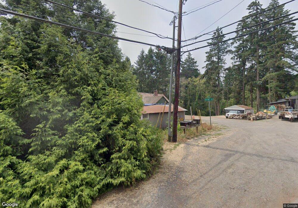
22810 NW Fir St Hillsboro, OR 97124
Orenco Station NeighborhoodEstimated Value: $588,000 - $802,895
3
Beds
1
Bath
1,140
Sq Ft
$594/Sq Ft
Est. Value
About This Home
This home is located at 22810 NW Fir St, Hillsboro, OR 97124 and is currently estimated at $676,974, approximately $593 per square foot. 22810 NW Fir St is a home located in Washington County with nearby schools including Orenco Elementary School, J.W. Poynter Middle School, and Liberty High School.
Ownership History
Date
Name
Owned For
Owner Type
Purchase Details
Closed on
Jun 11, 2024
Sold by
Samsak Paul and Samsak Tamara
Bought by
Samsak Family Living Trust and Samsak
Current Estimated Value
Purchase Details
Closed on
Oct 18, 2005
Sold by
Samsak Paul
Bought by
Samsak Paul and Samsak Tamara Lee
Purchase Details
Closed on
Apr 4, 2003
Sold by
Meyer Lenore Joanne
Bought by
Samsak Paul
Purchase Details
Closed on
Dec 30, 1997
Sold by
Samsak Paul E and Samsak Tamara L
Bought by
Meyer Lenora Joanne
Create a Home Valuation Report for This Property
The Home Valuation Report is an in-depth analysis detailing your home's value as well as a comparison with similar homes in the area
Home Values in the Area
Average Home Value in this Area
Purchase History
| Date | Buyer | Sale Price | Title Company |
|---|---|---|---|
| Samsak Family Living Trust | -- | None Listed On Document | |
| Samsak Paul | -- | -- | |
| Samsak Paul | $220,000 | Pacific Nw Title | |
| Meyer Lenora Joanne | -- | Chicago Title Insurance Co |
Source: Public Records
Tax History Compared to Growth
Tax History
| Year | Tax Paid | Tax Assessment Tax Assessment Total Assessment is a certain percentage of the fair market value that is determined by local assessors to be the total taxable value of land and additions on the property. | Land | Improvement |
|---|---|---|---|---|
| 2026 | $4,408 | $277,760 | -- | -- |
| 2025 | $4,408 | $269,670 | -- | -- |
| 2024 | $4,283 | $261,820 | -- | -- |
| 2023 | $4,283 | $254,200 | $0 | $0 |
| 2022 | $4,167 | $254,200 | $0 | $0 |
| 2021 | $4,083 | $239,620 | $0 | $0 |
| 2020 | $3,995 | $232,650 | $0 | $0 |
| 2019 | $3,880 | $225,880 | $0 | $0 |
| 2018 | $3,714 | $219,310 | $0 | $0 |
| 2017 | $3,580 | $212,930 | $0 | $0 |
| 2016 | $3,482 | $206,730 | $0 | $0 |
| 2015 | $3,341 | $200,710 | $0 | $0 |
| 2014 | $3,113 | $194,870 | $0 | $0 |
Source: Public Records
Map
Nearby Homes
- 248 NE 66th Ave
- 0 NE 69th Ave
- 845 NE 67th Ave
- 6723 NE Dogwood St
- 7281 NE Rockridge Place
- 6342 NE Oelrich St
- 6195 NE Sherborne St
- 192 NE 74th Ave
- 6614 NE Alder St
- 6650 NE Alder St
- 6209 NE Dereck Ln
- 5912 NE Mcbride Ln
- 5898 NE Saida Ln
- 7153 NE Rocky Brook St
- 782 NE 61st Ave
- 7307 NE Nelly St
- 7728 NE Julie Ann Ln
- 858 NE Caden Ave
- 7293 SE Borwick St
- 1150 NE Horizon Loop Unit 1501
- 6691 NE Mcmurtry Place
- 6679 NE Mcmurtry Place
- 6864 NE Fir St
- 6684 NE Mcmurtry Place
- 6665 NE Mcmurtry Place
- 6666 NE Mcmurtry Place
- 6647 NE Mcmurtry Place
- 665 NE 68th Ave
- 6648 NE Mcmurtry Place
- 6639 NE Mcmurtry Place
- 625 NW 227th Ave
- 655 NW 229th Ave
- 420 NE Century Blvd
- 420 NE Century Blvd
- 6640 NE Mcmurtry Place
- 715 NW 228th Ave
- 292 NE 66th Ave
- 298 NE 66th Ave
- 625 NE 69th Ave
- 625 NE 69th Ave