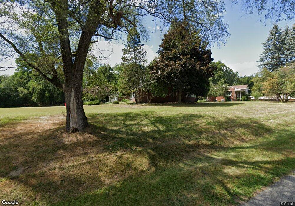
22810 W 10 Mile Rd Southfield, MI 48033
Estimated Value: $304,000 - $353,400
3
Beds
2
Baths
1,842
Sq Ft
$179/Sq Ft
Est. Value
About This Home
This home is located at 22810 W 10 Mile Rd, Southfield, MI 48033 and is currently estimated at $330,350, approximately $179 per square foot. 22810 W 10 Mile Rd is a home located in Oakland County with nearby schools including Morris Adler Elementary School, Glenn W. Levey Middle School, and Bradford Academy.
Ownership History
Date
Name
Owned For
Owner Type
Purchase Details
Closed on
Jan 11, 2019
Sold by
Ttmm Investments Llc
Bought by
Tripp Lesa
Current Estimated Value
Home Financials for this Owner
Home Financials are based on the most recent Mortgage that was taken out on this home.
Original Mortgage
$161,452
Outstanding Balance
$142,236
Interest Rate
4.7%
Mortgage Type
New Conventional
Estimated Equity
$188,114
Purchase Details
Closed on
Jun 11, 2018
Sold by
Harbin Dwain L and Harbin Carolyn L
Bought by
Ttmm Investments Llc
Purchase Details
Closed on
Jan 18, 2011
Sold by
Harbin Dwain L and Harbin Carolyn L
Bought by
U S Bank National Association
Create a Home Valuation Report for This Property
The Home Valuation Report is an in-depth analysis detailing your home's value as well as a comparison with similar homes in the area
Home Values in the Area
Average Home Value in this Area
Purchase History
| Date | Buyer | Sale Price | Title Company |
|---|---|---|---|
| Tripp Lesa | $169,950 | Coretitle Llc | |
| Ttmm Investments Llc | $80,000 | Coretitle Llc | |
| U S Bank National Association | $20,000 | None Available |
Source: Public Records
Mortgage History
| Date | Status | Borrower | Loan Amount |
|---|---|---|---|
| Open | Tripp Lesa | $161,452 |
Source: Public Records
Tax History Compared to Growth
Tax History
| Year | Tax Paid | Tax Assessment Tax Assessment Total Assessment is a certain percentage of the fair market value that is determined by local assessors to be the total taxable value of land and additions on the property. | Land | Improvement |
|---|---|---|---|---|
| 2022 | $6,621 | $125,880 | $43,190 | $82,690 |
| 2021 | $7,295 | $120,780 | $43,190 | $77,590 |
| 2020 | $7,049 | $118,870 | $43,190 | $75,680 |
| 2018 | $5,325 | $100,200 | $43,190 | $57,010 |
| 2015 | -- | $55,720 | $0 | $0 |
| 2014 | -- | $53,180 | $0 | $0 |
| 2011 | -- | $54,560 | $0 | $0 |
Source: Public Records
Map
Nearby Homes
- 24714 Pembrooke Dr
- 25275 Briarbank Ave
- 25150 Briarbank Ave
- 23409 Ranch Hill Dr W
- 25611 Mulroy Dr
- 25555 Lahser Rd Unit 15
- 25160 Lahser Rd
- 23565 Oliver Ct
- 24713 Lois Ln
- 21763 Hidden Rivers Dr N Unit M68
- 23463 Berg Rd
- 24851 Auburn Ln Unit 55
- 24877 Auburn Ln
- 24220 Simmons Ave
- 23275 Berg Rd
- 0000 Mcallister
- 24220 Sunnypoint Dr
- 23217 Helen St
- 21812 Duns Scotus St Unit 7
- 24050 Sunnypoint Dr
- 22810 W 10 Mile Rd
- 25079 Friar Ln
- 22830 W 10 Mile Rd
- 22830 W Ten Mile Rd
- 25140 Mulberry Dr
- 25091 Friar Ln
- 25070 Friar Ln
- 25070 Mulberry Dr
- 25048 Friar Ln
- 25024 Friar Ln
- 25190 Mulberry Dr
- 25125 Friar Ln
- 25102 Friar Ln
- 25165 Friar Ln
- 22764 W 10 Mile Rd
- 25250 Mulberry Dr
- 24782 Mulberry Dr
- 25124 Friar Ln
- 25075 Mulberry Dr
- 22777 W 10 Mile Rd