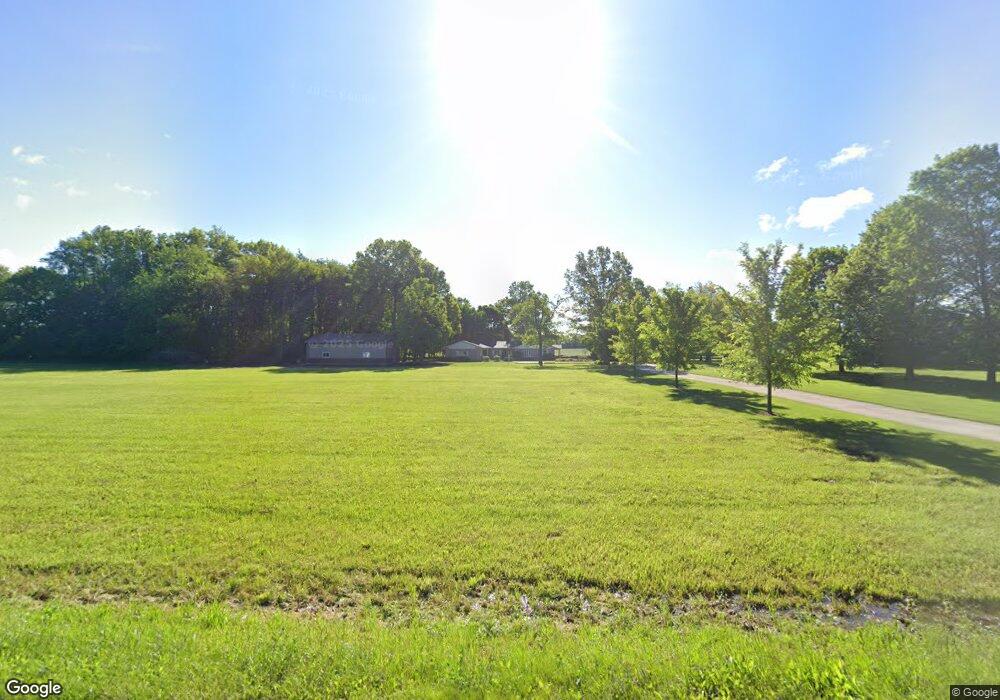
2282 New State Rd Norwalk, OH 44857
Estimated Value: $399,000 - $520,000
3
Beds
1
Bath
2,183
Sq Ft
$204/Sq Ft
Est. Value
About This Home
This home is located at 2282 New State Rd, Norwalk, OH 44857 and is currently estimated at $446,106, approximately $204 per square foot. 2282 New State Rd is a home located in Huron County with nearby schools including Maplehurst Elementary School, Pleasant Elementary School, and League Elementary School.
Ownership History
Date
Name
Owned For
Owner Type
Purchase Details
Closed on
Sep 6, 2024
Sold by
Kathleen L Killgrove Revocable Trust and Killgrove Kathleen L
Bought by
Pember Family Revocable Trust and Pember
Current Estimated Value
Purchase Details
Closed on
Sep 11, 2020
Sold by
Killgrove Kathleen L
Bought by
Killgrove Kathleen L and Kathleen L Killgrove Revocable
Purchase Details
Closed on
Feb 3, 2017
Sold by
Killgrove Kathleen L and Martin Robert J
Bought by
Killgrove Kathleen L
Purchase Details
Closed on
Nov 2, 2009
Bought by
Claude V Martin Trustee
Create a Home Valuation Report for This Property
The Home Valuation Report is an in-depth analysis detailing your home's value as well as a comparison with similar homes in the area
Home Values in the Area
Average Home Value in this Area
Purchase History
| Date | Buyer | Sale Price | Title Company |
|---|---|---|---|
| Pember Family Revocable Trust | $459,900 | Chicago Title | |
| Killgrove Kathleen L | -- | None Available | |
| Killgrove Kathleen L | -- | Attorney | |
| Claude V Martin Trustee | -- | -- |
Source: Public Records
Tax History Compared to Growth
Tax History
| Year | Tax Paid | Tax Assessment Tax Assessment Total Assessment is a certain percentage of the fair market value that is determined by local assessors to be the total taxable value of land and additions on the property. | Land | Improvement |
|---|---|---|---|---|
| 2024 | $4,800 | $118,070 | $15,090 | $102,980 |
| 2023 | $4,800 | $96,060 | $11,390 | $84,670 |
| 2022 | $3,514 | $96,060 | $11,390 | $84,670 |
| 2021 | $3,516 | $96,060 | $11,390 | $84,670 |
| 2020 | $3,538 | $92,620 | $10,430 | $82,190 |
| 2019 | $3,524 | $92,620 | $10,430 | $82,190 |
| 2018 | $3,462 | $92,620 | $10,430 | $82,190 |
| 2017 | $2,787 | $76,910 | $9,730 | $67,180 |
| 2016 | $2,735 | $76,910 | $9,730 | $67,180 |
| 2015 | $2,761 | $77,600 | $9,730 | $67,870 |
| 2014 | $2,847 | $79,000 | $9,730 | $69,270 |
| 2013 | $2,475 | $79,000 | $9,730 | $69,270 |
Source: Public Records
Map
Nearby Homes
- 191 Briarcrest Dr
- 40 Briarcrest Village
- 35 Eagle Creek Dr
- 9 Eagle Creek Dr
- 2163 Cole Creek Dr
- 431 Old State Rd S
- 1206 New State Rd
- 15 W Chestnut St
- 160 Benedict Ave
- 40 Norwood Ave
- 21 Maple St
- 27 Norwood Ave
- 1064 New State Rd N
- 29 Harris Ave
- 161 W Main St
- 157 W Main St
- 280 W Main St
- 58 E Elm St
- 3170 Brown Rd
- 6 N West St
- 2260 New State Rd
- 2285 New State Rd
- 2305 New State Rd
- 2261 New State Rd
- 2327 New State Rd
- 2343 New State Rd
- 2237 New State Rd
- 2215 New State Rd
- 2215 New State Rd
- 2201 New State Rd
- 2432 New State Rd
- 2199 New State Rd
- 2437 New State Rd
- 2450 New State Rd
- 741 Mallard Pointe Dr
- 2300 Ridge Rd
- 765 Mallard Pointe Dr
- 2490 New State Rd
- 2153 New State Rd
- 746 Mallard Pointe Dr