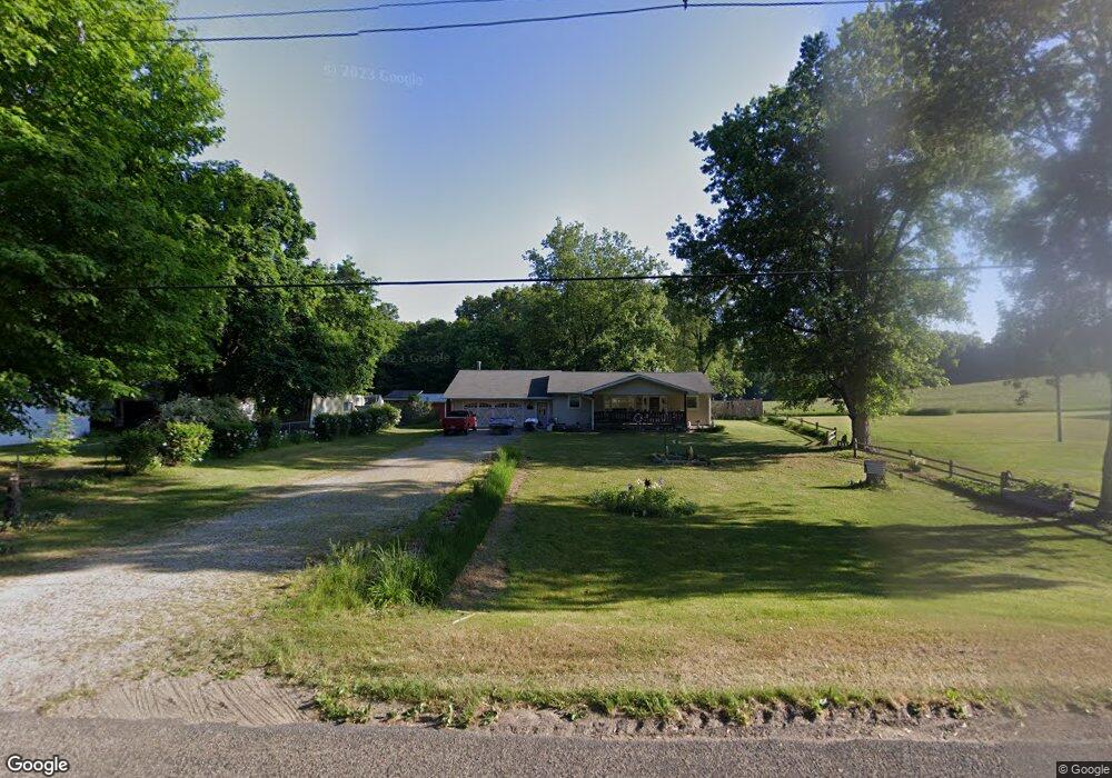
22828 Airline Rd Sturgis, MI 49091
Estimated Value: $244,000 - $255,000
--
Bed
--
Bath
1,564
Sq Ft
$159/Sq Ft
Est. Value
About This Home
This home is located at 22828 Airline Rd, Sturgis, MI 49091 and is currently estimated at $249,197, approximately $159 per square foot. 22828 Airline Rd is a home located in St. Joseph County with nearby schools including Sturgis High School and New Dawn School.
Ownership History
Date
Name
Owned For
Owner Type
Purchase Details
Closed on
Jun 14, 2005
Sold by
Dumont Zella Ann and Gregg Duane
Bought by
Dumont Joseph M and Dumont Zella A
Current Estimated Value
Home Financials for this Owner
Home Financials are based on the most recent Mortgage that was taken out on this home.
Original Mortgage
$87,500
Interest Rate
5.87%
Mortgage Type
New Conventional
Create a Home Valuation Report for This Property
The Home Valuation Report is an in-depth analysis detailing your home's value as well as a comparison with similar homes in the area
Home Values in the Area
Average Home Value in this Area
Purchase History
| Date | Buyer | Sale Price | Title Company |
|---|---|---|---|
| Dumont Joseph M | -- | Bell Title Company |
Source: Public Records
Mortgage History
| Date | Status | Borrower | Loan Amount |
|---|---|---|---|
| Closed | Dumont Joseph M | $87,500 |
Source: Public Records
Tax History Compared to Growth
Tax History
| Year | Tax Paid | Tax Assessment Tax Assessment Total Assessment is a certain percentage of the fair market value that is determined by local assessors to be the total taxable value of land and additions on the property. | Land | Improvement |
|---|---|---|---|---|
| 2025 | $2,033 | $120,400 | $20,400 | $100,000 |
| 2024 | $695 | $105,800 | $17,700 | $88,100 |
| 2023 | $662 | $94,100 | $12,800 | $81,300 |
| 2022 | $0 | $81,000 | $10,300 | $70,700 |
| 2021 | $1,180 | $70,100 | $9,700 | $60,400 |
| 2020 | $603 | $69,300 | $8,900 | $60,400 |
| 2019 | $592 | $62,100 | $8,900 | $53,200 |
| 2018 | $1,531 | $59,700 | $8,900 | $50,800 |
| 2017 | $1,539 | $59,300 | $59,300 | $0 |
| 2016 | -- | $59,600 | $59,600 | $0 |
| 2015 | -- | $57,300 | $0 | $0 |
| 2014 | -- | $55,100 | $55,100 | $0 |
| 2012 | -- | $50,200 | $50,200 | $0 |
Source: Public Records
Map
Nearby Homes
- 22025 Airline Rd
- 23772 Wilson Rd
- 68534 Hill St
- 68751 Oak St
- 2 Creekside Dr
- 11 Creekside Dr
- 5 Creekside Dr
- 1 Creekside Dr
- 12 Creekside Dr
- 4 Creekside Dr
- 67850 Crooked Creek Rd
- 65890 Burg Rd
- 20331 Blairs View Dr
- 20189 Dogwood Trail
- VL Crooked Creek Rd
- 0 Crooked Creek Rd
- Parcel D Crooked Creek Rd
- 0 Vl Seneca Ct
- VL1 Ottokee Dr
- VL2 Ottokee Dr
- 22810 Airline Rd
- 22892 Airline Rd
- 22866 Airline Rd
- 22773 Airline Rd
- 22863 Airline Rd
- 22720 Williams Landing Rd
- 22740 Williams Landing Rd
- 22712 Airline Rd
- 22628 Williams Landing Rd
- 22708 Williams Landing Rd
- 22631 Williams Landing Rd
- 22526 Williams Landing Rd
- 22674 Williams Landing Rd
- 22520 Williams Landing Rd
- 22690 Williams Landing Rd
- 22510 Airline Rd
- 22758 Airline Rd
- 22744 Airline Rd
- 22682 Williams Landing Rd
- 22574 Williams Landing Rd