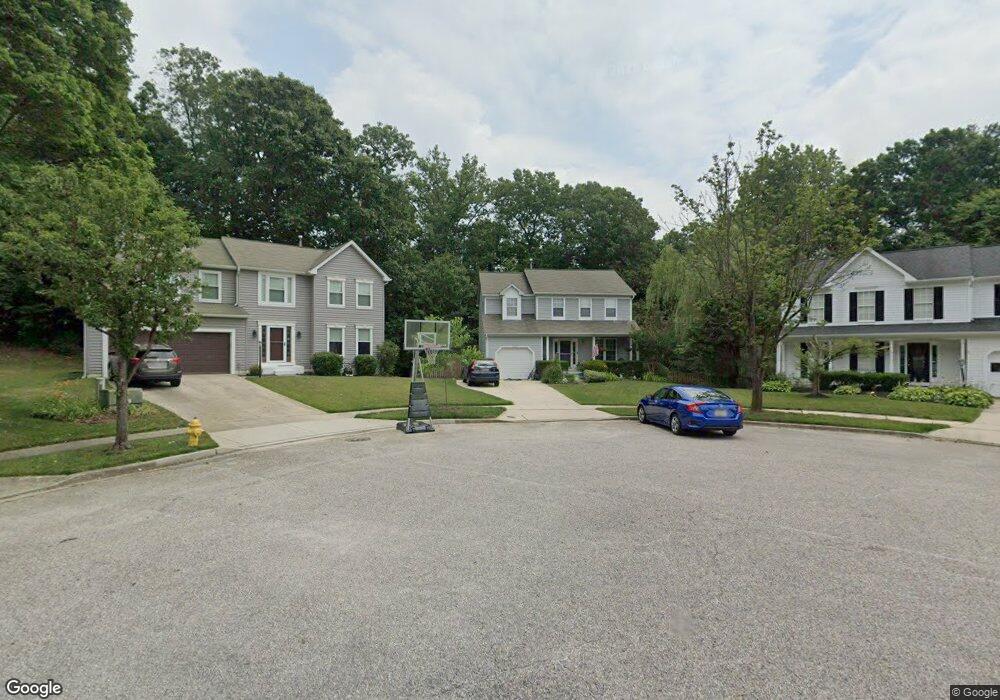
2283 Snowfall Ct Odenton, MD 21113
Estimated Value: $596,652 - $629,000
Studio
3
Baths
1,896
Sq Ft
$324/Sq Ft
Est. Value
About This Home
This home is located at 2283 Snowfall Ct, Odenton, MD 21113 and is currently estimated at $614,413, approximately $324 per square foot. 2283 Snowfall Ct is a home located in Anne Arundel County with nearby schools including Waugh Chapel Elementary School, Arundel Middle School, and Arundel High School.
Ownership History
Date
Name
Owned For
Owner Type
Purchase Details
Closed on
Nov 2, 2000
Sold by
Ward Phillip M
Bought by
Joyce Robert E and Joyce Jennifer A
Current Estimated Value
Purchase Details
Closed on
Sep 10, 1996
Sold by
Ward Phillip M
Bought by
Ward Phillip M
Purchase Details
Closed on
Aug 21, 1992
Sold by
Ryland Group Inc
Bought by
Ward Phillip M
Home Financials for this Owner
Home Financials are based on the most recent Mortgage that was taken out on this home.
Original Mortgage
$167,200
Interest Rate
7.87%
Create a Home Valuation Report for This Property
The Home Valuation Report is an in-depth analysis detailing your home's value as well as a comparison with similar homes in the area
Home Values in the Area
Average Home Value in this Area
Purchase History
| Date | Buyer | Sale Price | Title Company |
|---|---|---|---|
| Joyce Robert E | $220,000 | -- | |
| Ward Phillip M | -- | -- | |
| Ward Phillip M | $176,000 | -- |
Source: Public Records
Mortgage History
| Date | Status | Borrower | Loan Amount |
|---|---|---|---|
| Previous Owner | Ward Phillip M | $167,200 | |
| Closed | Ward Phillip M | -- |
Source: Public Records
Tax History
| Year | Tax Paid | Tax Assessment Tax Assessment Total Assessment is a certain percentage of the fair market value that is determined by local assessors to be the total taxable value of land and additions on the property. | Land | Improvement |
|---|---|---|---|---|
| 2025 | $3,853 | $501,900 | $239,600 | $262,300 |
| 2024 | $3,853 | $478,267 | $0 | $0 |
| 2023 | $3,735 | $454,633 | $0 | $0 |
| 2022 | $4,504 | $431,000 | $244,600 | $186,400 |
| 2020 | $3,325 | $416,800 | $0 | $0 |
| 2019 | $3,271 | $409,700 | $239,600 | $170,100 |
| 2018 | $3,989 | $393,367 | $0 | $0 |
| 2017 | $3,067 | $377,033 | $0 | $0 |
| 2016 | -- | $360,700 | $0 | $0 |
| 2015 | -- | $356,367 | $0 | $0 |
| 2014 | -- | $352,033 | $0 | $0 |
Source: Public Records
Map
Nearby Homes
- 892 Winterhaven Dr
- 902 Winterhaven Cir
- 2282 Indian Summer Dr
- 729 Chapelgate Dr
- 1311 Hallock Dr
- 623 Chapelgate Dr
- 804 Mericrest Way
- 620 Crawfords Ridge Rd
- 1303 Tenbrook Rd
- 2403 Killarney Terrace
- 704 Chapelview Dr
- 652 Chapelview Dr
- 1003 Springhill Way
- 2314 Silver Way
- 1017 Meandering Way
- 2505 Symphony Ln
- 2300 Apricot Arbor Place
- 1241 Duke Ln
- 2606 Hoods Mill Ct Unit 103
- 2602 Clarion Ct Unit 404
- 2281 Snowfall Ct
- 2285 Snowfall Ct
- 2280 Snowfall Ct
- 2287 Snowfall Ct
- 2289 Snowfall Ct
- 2282 Snowfall Ct
- 2284 Snowfall Ct
- 2286 Snowfall Ct
- 2222 Dairy Farm Rd
- 2291 Snowfall Ct
- 869 Snow Valley Ln
- 2226 Dairy Farm Rd
- 2230 Dairy Farm Rd
- 2288 Snowfall Ct
- 2290 Snowfall Ct
- 2234 Dairy Farm Rd
- 873 Snow Valley Ln
- 2214 Dairy Farm Rd
- 2291 Autumn Ct
- 2289 Autumn Ct
Your Personal Tour Guide
Ask me questions while you tour the home.