2284 Fm 521 Rd Brazoria, TX 77422
Estimated Value: $270,000 - $439,000
--
Bed
3
Baths
2,048
Sq Ft
$169/Sq Ft
Est. Value
About This Home
This home is located at 2284 Fm 521 Rd, Brazoria, TX 77422 and is currently estimated at $345,715, approximately $168 per square foot. 2284 Fm 521 Rd is a home located in Brazoria County.
Ownership History
Date
Name
Owned For
Owner Type
Purchase Details
Closed on
Dec 7, 2004
Sold by
First Indiana Bank
Bought by
Brown Wade and Brown Belinda
Current Estimated Value
Purchase Details
Closed on
Jun 4, 2001
Sold by
Swift Dean B and Swift Johanna L
Bought by
Shults Boyd H
Home Financials for this Owner
Home Financials are based on the most recent Mortgage that was taken out on this home.
Original Mortgage
$108,800
Interest Rate
7.1%
Create a Home Valuation Report for This Property
The Home Valuation Report is an in-depth analysis detailing your home's value as well as a comparison with similar homes in the area
Home Values in the Area
Average Home Value in this Area
Purchase History
| Date | Buyer | Sale Price | Title Company |
|---|---|---|---|
| Brown Wade | -- | Alamo Title Company | |
| Shults Boyd H | -- | Alamo Title Company |
Source: Public Records
Mortgage History
| Date | Status | Borrower | Loan Amount |
|---|---|---|---|
| Previous Owner | Shults Boyd H | $108,800 | |
| Closed | Shults Boyd H | $27,200 |
Source: Public Records
Tax History Compared to Growth
Tax History
| Year | Tax Paid | Tax Assessment Tax Assessment Total Assessment is a certain percentage of the fair market value that is determined by local assessors to be the total taxable value of land and additions on the property. | Land | Improvement |
|---|---|---|---|---|
| 2025 | $3,017 | $425,257 | $188,500 | $361,580 |
| 2023 | $3,017 | $427,550 | $182,700 | $244,850 |
| 2022 | $3,300 | $209,080 | $97,090 | $111,990 |
| 2021 | $1,925 | $151,150 | $55,800 | $95,350 |
| 2020 | $1,872 | $151,150 | $55,800 | $95,350 |
| 2019 | $1,737 | $94,900 | $28,000 | $66,900 |
| 2018 | $1,858 | $103,590 | $32,200 | $71,390 |
| 2017 | $1,706 | $103,590 | $32,200 | $71,390 |
| 2016 | $1,551 | $103,590 | $32,200 | $71,390 |
| 2015 | $955 | $94,270 | $34,000 | $60,270 |
| 2014 | $955 | $74,610 | $15,200 | $59,410 |
Source: Public Records
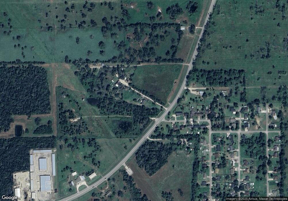
Map
Nearby Homes
- 1561 County Road 797
- 2082 Fm 521 Rd
- 2560 Cr-769c
- 2541 Cr 769c
- 1970 Fm 521 Rd
- 3006 Fm 521 Rd
- 0 County Road 520 Unit 11272899
- 3559 Farm To Market Road 521
- 2719 County Road 510
- 229 Yaupon Dr
- 523 Lazy Ln
- 323 County Rd 461b
- 0 County Road 506 Unit 90697040
- 3862 Farm To Market Road 521
- 133 Country Oaks St
- 307 Avenue G
- 0 Pecan Dr
- 232 Magnolia St
- 1093 River Oaks Dr
- 1208 S Brooks St
- 1019 County Road 769
- 1032 Cr 769 (114 Royal Ridge)
- 1027 County Road 769
- 1027 Cr 769
- 1014 County Road 769
- 1033 County Road 769
- 1033 County Road 769
- 1026 County Road 769
- 1032 County Road 769
- 1032 County Road 769
- 1041 County Road 769
- 2184 Fm 521 Rd
- 1040 County Road 769
- 1049 County Road 769
- 1046 County Road 769
- 1046 County Road 769
- 1046 Cr 769
- 1061 County Road 769
- 1061 County Road 769
- 2426 County Road 769a